
Heritage Highlights:
Bronze Age rock carvings (c.2000BC) and Stone Circle, Anglo-Saxon crosses (C9th), Salts Mill (1853) and Milner Field (1871)
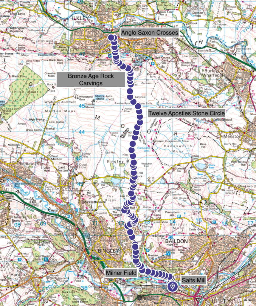
Section one begins at Salts Mill, a Unesco World Heritage Site. This is one of the best preserved Victorian Industrial Heritage sites in the United Kingdom, not just West Yorkshire. It therefore makes a really good place to begin the Heritage Trail. It is well worth a day trip all on its own, and for more information see the dedicated website for this place.
Building work began on Salts Mill in 1851 and took only two years to be completed by 1853. It was the first site to be finished, before work focused more intensively on the remaining streets and workers residences. Funded entirely by Sir Titus Salt, it is the best surviving example of a rare philanthropic vision to provide a high quality of life and stable employment for an entire community. Today, the town is well-maintained and the mill itself is a must-see, both inside and out.
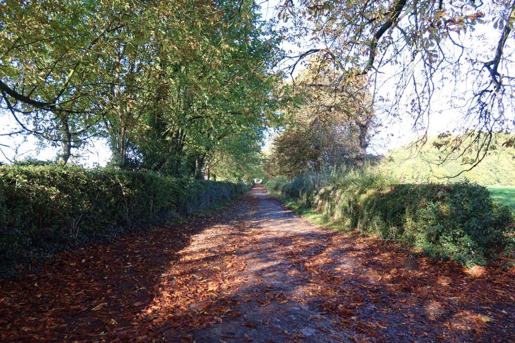
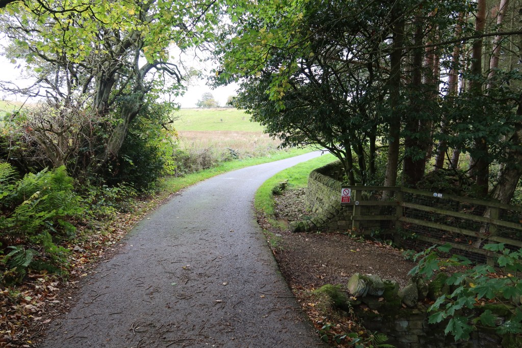
With your back to the mill, head towards Robert’s Park and the canal towpath. Instead of following the canal, go over the bridge that spans the river, with a weir to your right. This section can get quite busy at times, so you may have to take care among the many bikes, running children and dogs as locals head about their weekend leisure activities. Walk over to the far end of the park and exit at the northern side, opposite Titus Salt School. Head left on Higher Coach Road and keep walking straight on for quite a distance.
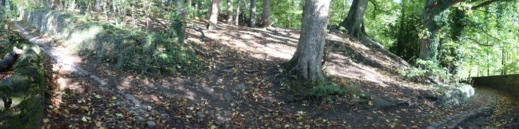
This is the old coach road that used to lead to Milner Field, completed in 1871, the grand mansion house which the family of Titus Salt used to own. It is sadly now a complete ruin with only some basic foundations left to see, if you explore for long enough in the woodland undergrowth. Recent excavations, courtesy of the Yorkshire Society, have been completed in this area to bring some life back to this site.
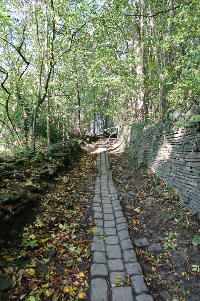
At the end of the lane the path veers right and begins to climb uphill. Follow this until you reach an ornate looking metal gate, the start of Sheriff Lane. Head towards the left in the picture below.
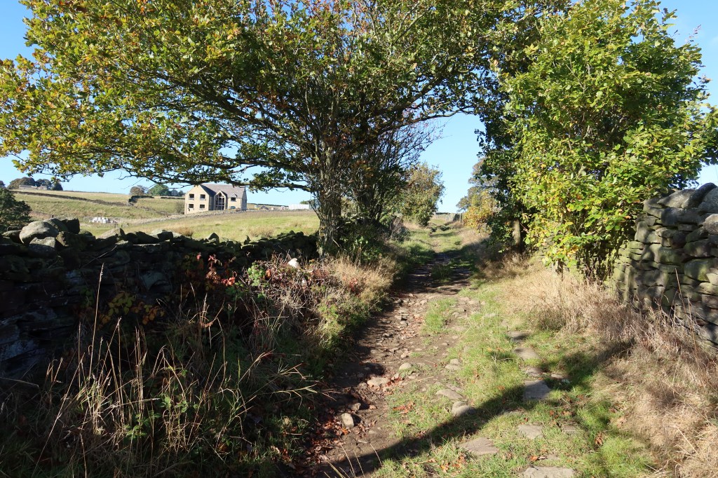
Continue uphill, without turning left or right down other tracks and lanes. Soon, the lane forms into a tarmac road, bringing you out after a kilometre or two into the village of Eldwick. You will arrive on Otley Road, at which point head right, past a church on your left. Follow the road gently downhill, as it bends past several houses, and then just before you cross the river head left up a small road called The Green with the Acorn pub on your right.

Our journey continues past the pub and up the road until you see the junction in the picture below. Don’t turn right, instead keep going just a little further around the bend until you see a small rocky track heading left. Take this track.
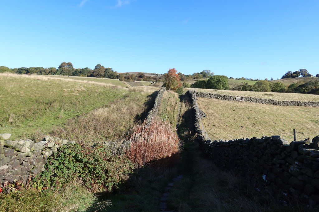
A little way ahead on this rocky track, you will see the farmhouses getting nearer and some stone-walled fields on your right side with some cows in too. Squeezed in between two fields is a roller-coaster path, bounded with stone walls on both sides. See the picture below – it leads to Compensation Reservoir.
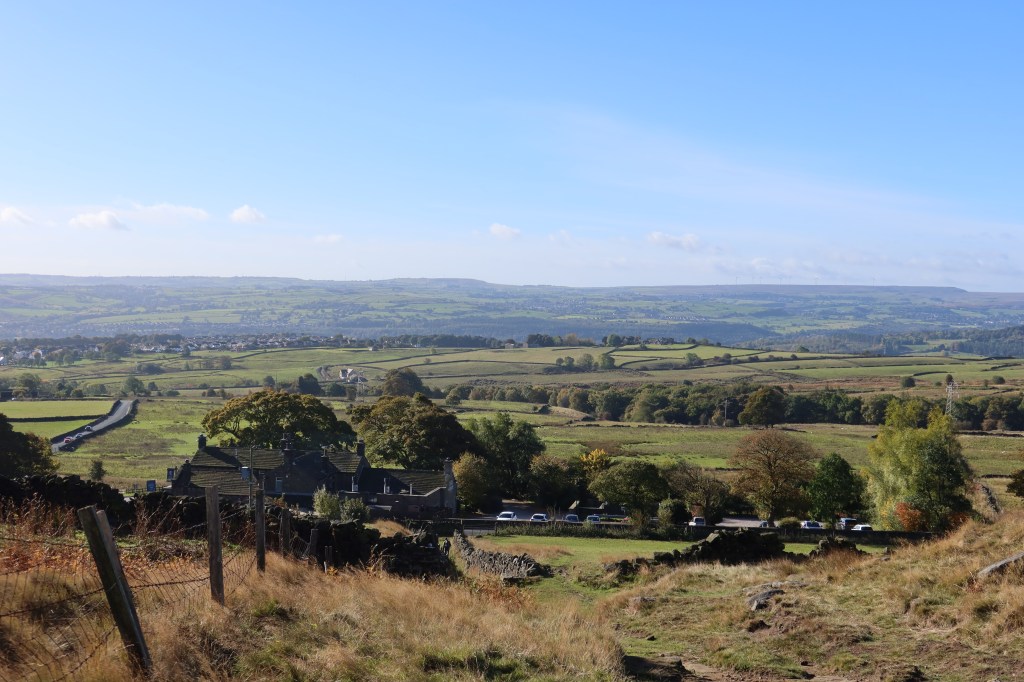
Head past the reservoir, on the tarmac road, to emerge at the busy main road leading up to Dick Hudson’s pub on the left. There is no way around this busy section without a long detour to the east, spoiling the overall shape of the route. Take lots of care on the road as you turn left and uphill, towards to pub. One section is narrow so two cars struggle to pass, so you may have to wait patiently by the road side for traffic to move on. Take extreme care as this section is genuinely dangerous.
You might notice a public footpath sign on your right just after you emerge and take the road. This is a viable option if you don’t mind farm animals and horses which this entire route purposefully avoids, although to regain the route we are following you still have a very scary piece of road crossing of equal length the other side so it’s really a case of ‘six and two threes’ here.
At Dick Hudson’s pub head to the T junction, go slightly left and you will notice a footpath and gate on the other side of the road. This is our route, so being extremely careful again, cross over. Cars tend to race around these roads. There really should be some traffic lights here and a pavement. Start up the route and begin the journey onto Ilkley Moor.
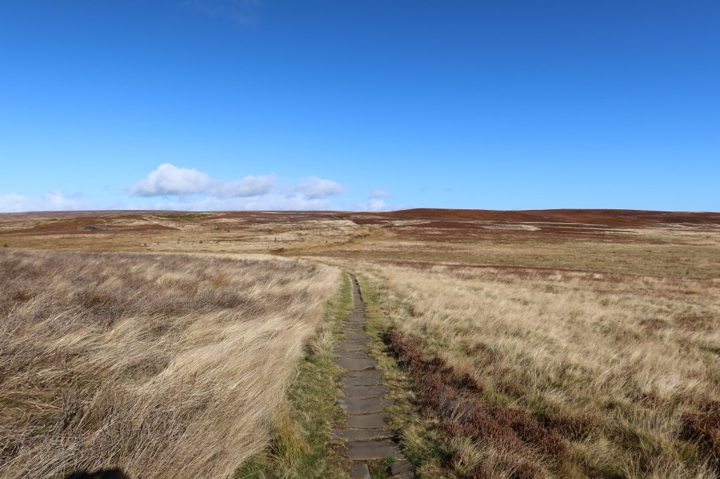
The hard navigation has all been done now, and you can sit back and enjoy the route. No need to take any turnings now, simply follow the path as it winds over the moorland. After a couple of kilometres, you will come to a small ring of standing stones called The Twelve Apostles. These have been much changed over the years, have fallen over (or been knocked down) and even taken away before being brought back again. It is problematic to give an age though this moor is known for its Bronze Age rock carvings so the stone circle could date from that time, though likely in a different form.
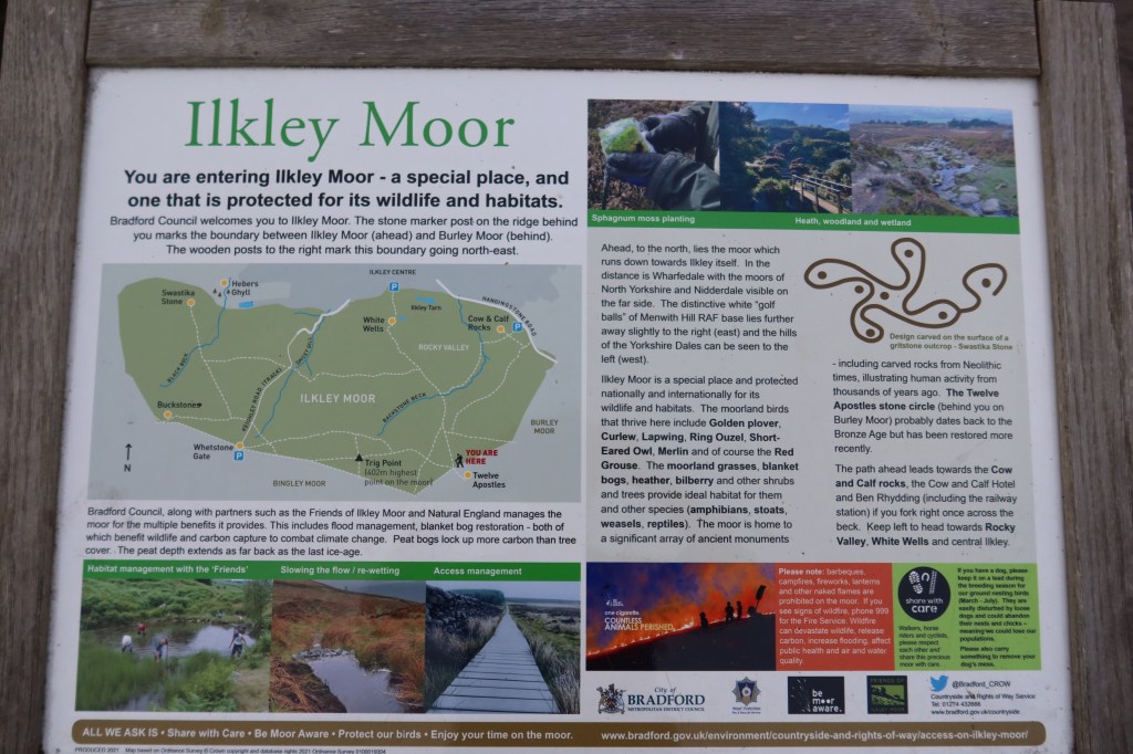

Ilkley Moor is nationally renowned for its Bronze Age remains. Like most prehistoric evidence, we can see that stones have been ‘worked’ or arranged, carved and designed in certain ways. Further to that, much of the reasoning ‘why’ these remains are where they are in the form that they take is essentially beyond knowing. We can tell the remains are Bronze Age (2500 BC to 1000 BC) due to their similarity with other sites through Britain and Europe. There have been many interpretations as to what the cup and ring marks mean, whether the stones circles are used for calculating the passing of time or if it is simply all part of some community ritual. We also know that stones such as those seen among the Twelve Apostles have been moved about, raised after being seen fallen (or pushed) and have altered gradually over time along with the local community. In this sense they are kept a dynamic part of our heritage to be treated with immense respect. There is an excellent walking guide to these stones and sites – check out the bibliography for this section.
Keep heading north towards the valley ahead of you, and downhill. The path soon becomes flagged with grit paving slabs, and passes an information board about the rock carvings.
The path will wind downhill to the left, becoming rockier as it does so. There are one or two sections where you may need to go slower than usual and use your hands occasionally but the path is generally fine, even in bad weather. After these difficulties, you will emerge at the cross roads of Rocky Valley, just above the town of Ilkley. If you are in the right place you will see a white house and a tree with some benches around it just in front of you.

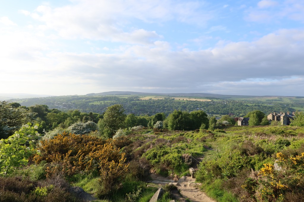

This is an important junction which the route returns to, after heading down into Ilkley to see some Anglo Saxon crosses (see Section Two for more info). Continue down until you emerge into a car park, and keep heading straight down, until you arrive at All Saints Churchyard. The first part of the Heritage Trail finishes here, and continues on section two from the junction of paths at the White House you passed by recently.
