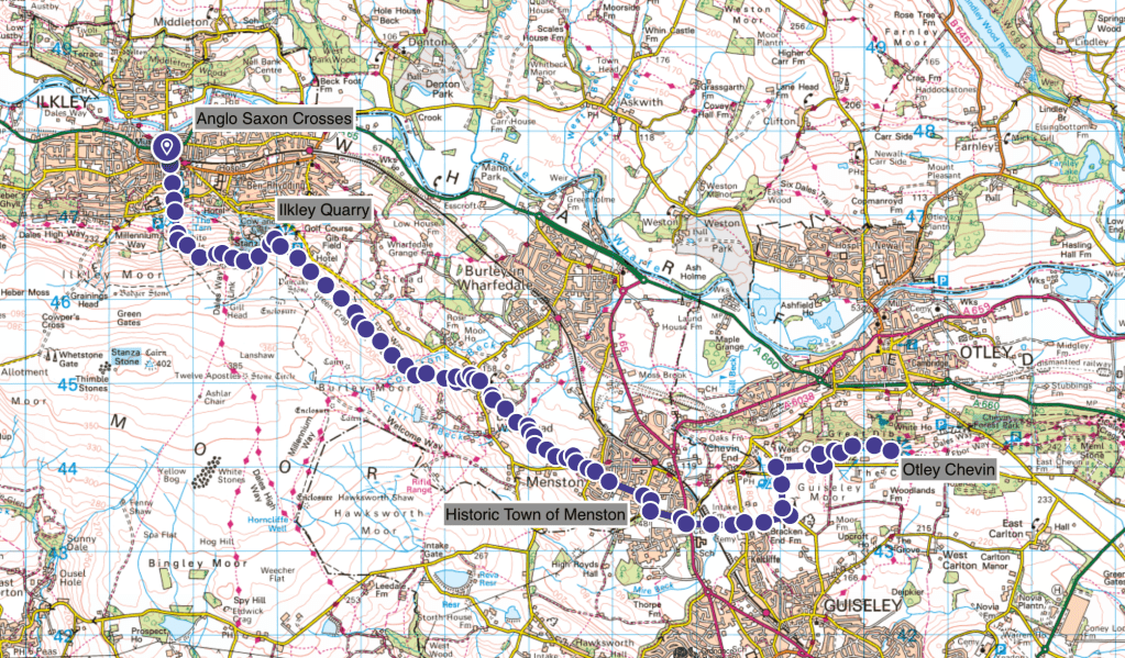
Heritage Highlights:
Anglo Saxon crosses (C8th), Ilkley Quarry (C18th)
Section two begins In Ilkley, at All Saints Church. If you have not already been inside, there are some Anglo Saxon crosses dating from the C8th and C9th centuries. So it is worth a look at these rare pieces of early medieval archaeology before pressing on to Otley Chevin.
The Saxon Crosses are proudly displayed inside the church, with some other heritage artefacts to reveal a collection spanning 1500 years. Ilkley has been occupied since at least Roman times, and if the Bronze Age cup and ring marks on local stones are any indication, likely long before the Romans as well. The crosses contain images of wild beasts on human bodies cradling books, thought to be partly pagan and partly Christian. Much of England was in the process of converting to Christianity from Celtic paganism at the time so seeing hybrid religious motifs is not unusual, and is consistent with other crosses found elsewhere. Although we have no manuscript evidence for Ilkley in the C8th, we can be sure of two things. One is that similar styles are found from dated numismatic sources (coins) to the reign of King Eadbert (737 – 58) and that these surviving examples are among the finest not just in the North of England, but certainly on the entire of this trail. They are outstanding examples of our Anglo Saxon heritage.
Head up Wells Road to the car park, to find a footpath running uphill starting from the left-hand corner. The track is stepped in places, and you will soon arrive at White Wells, a small cafe in a whitewashed building near some benches. Just past the house you will come to a junction as described in section one. You should go left here, not up the hill.
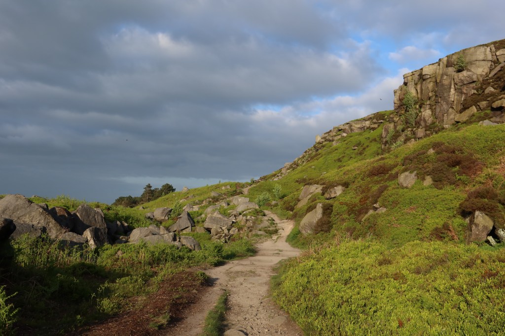
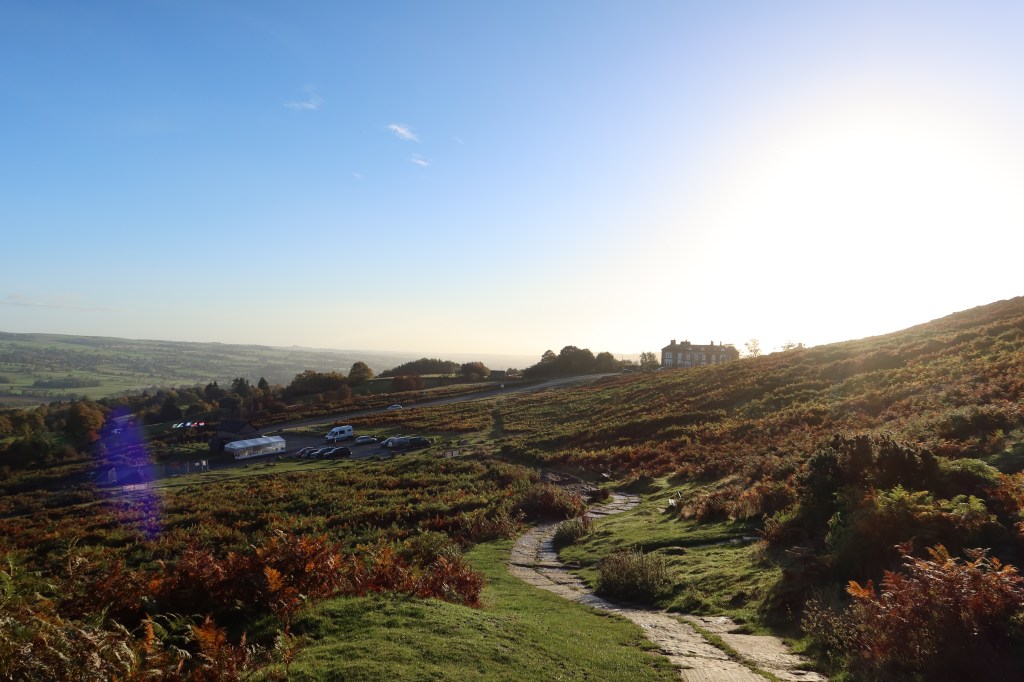
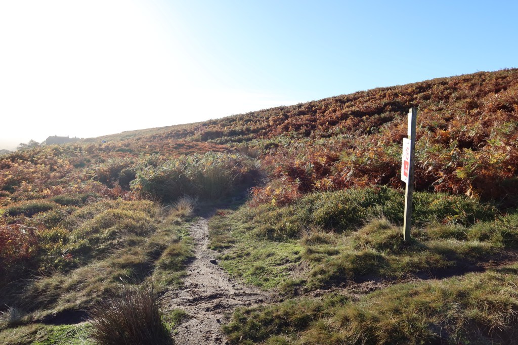
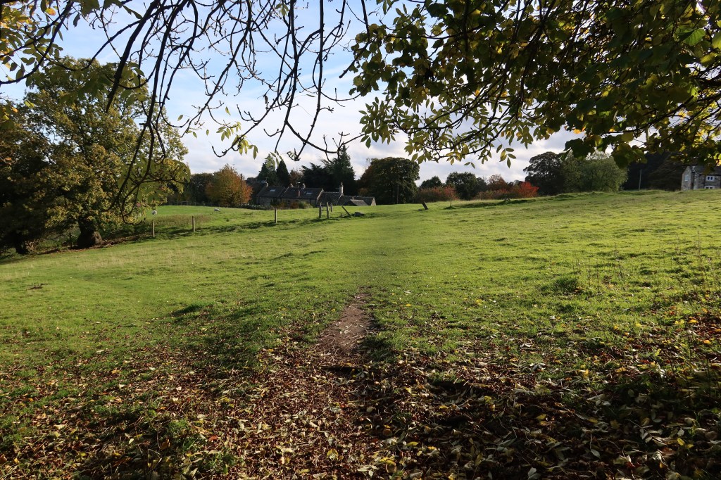
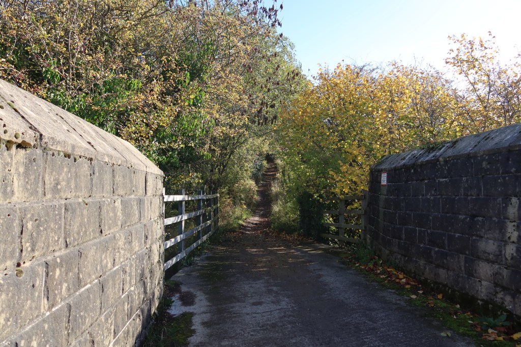
Soon you will be walking through a small valley, bounded on one side by rock faces. To climbers, this place is known as Rocky Valley, and does contain one or two good climbing routes. You can sometimes see rock climbers on these but the main climbing and quarry action is further along the path yet.
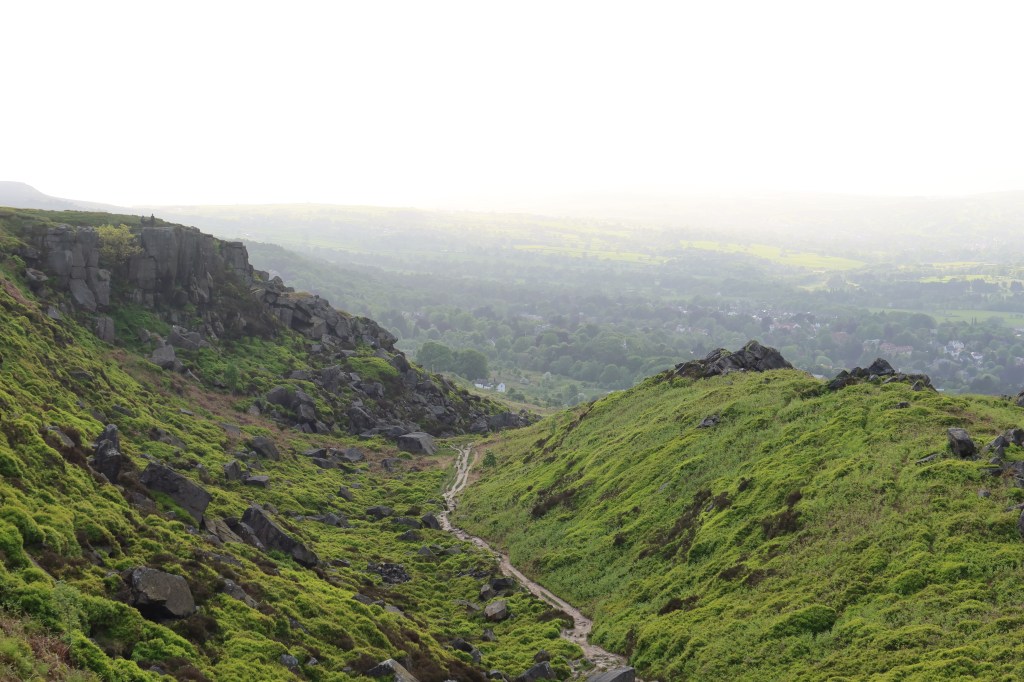
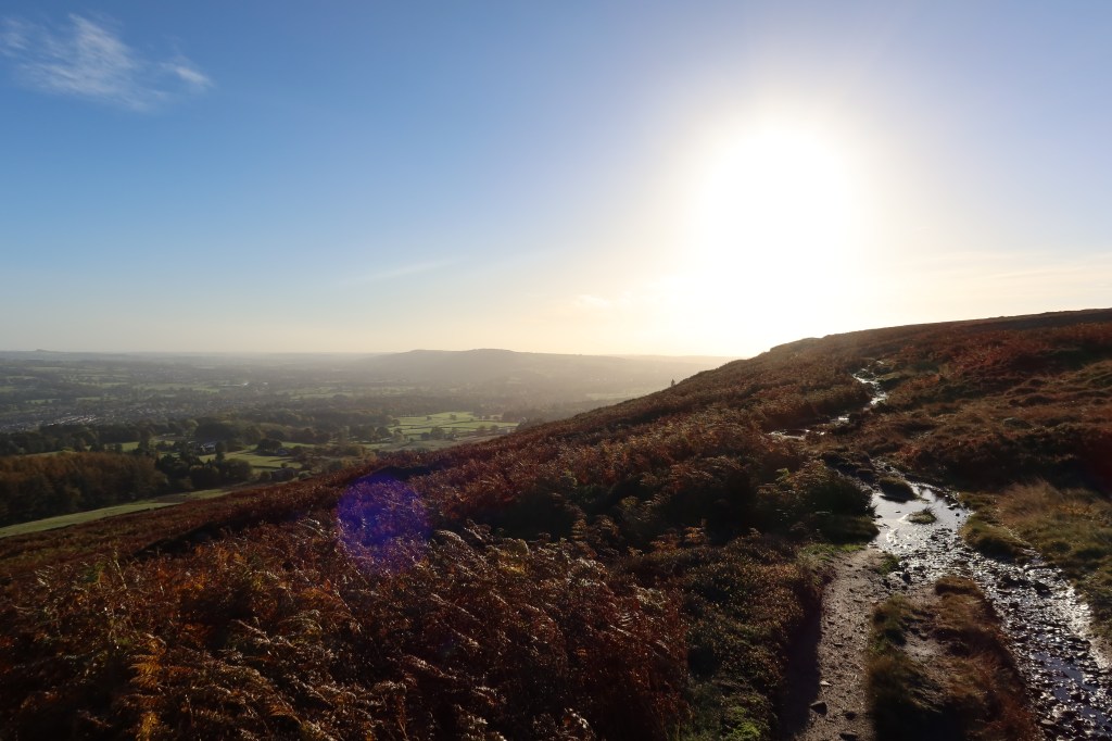
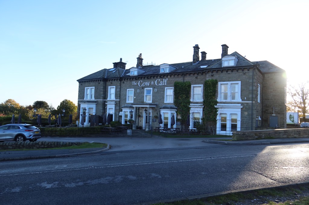
Continue on past the rock faces, and you will emerge onto a moorland path sloping gently downwards, crossing a stream and arriving at the very popular tourist spot of the Cow and Calf Crag. It is a former quarrying site, a great place to take some photos and there is a nearby car park (free to use) with coffee shop. Also nearby is a great hotel which serves amazing food. It is also incredible to pause and think that a full millennium exists between the carving of the Anglo Saxon crosses in the church and the quarrying of the stone at the Cow and Calf.
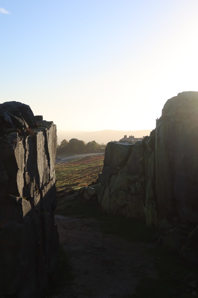
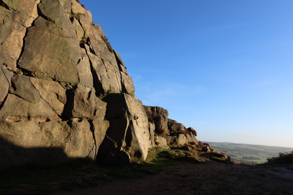
‘Millstone Grit’ is the geological term for the rock type found in this area, and it has ben quarried extensively to create the dark, brooding stone buildings you see in Ilkley, Menston and beyond. Quarrying reached its height in the C18th and C19th, with an explosion of new architecture and housing developments. Key improvements in techniques in masonry, such as dressing stone with ‘broad’ and ‘boaster’ chisels, and putting finishing touches to stone at railway stations, made a previously laborious process much cheaper and more efficient. Much of the more flamboyant carving on buildings which are non-ecclesiastical date from around this period – neoclassical Corinthian capitals on top of pillared entry ways for banks and railway stations for example, sought to imitate a Romantic age of Greek and Roman heritage. Ilkley Quarry is long since disused for stone masons, however it is now a magnet for rock climbers.
Continue on down to the car park past the Cow and Calf Hotel, and follow roadside tracks until you find a well made footpath going to your right, gently uphill. Fairly soon, this will join a larger path called the Ebor Way, which if followed for its entire length would lead you to York (Eboracum is the Latin name for York, which changed into its Norse version thanks to Vikings, Jorvik). But don’t go all the way to York just yet!
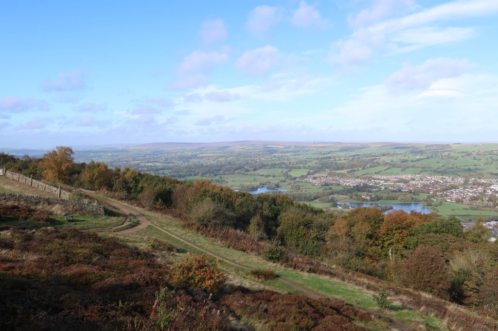
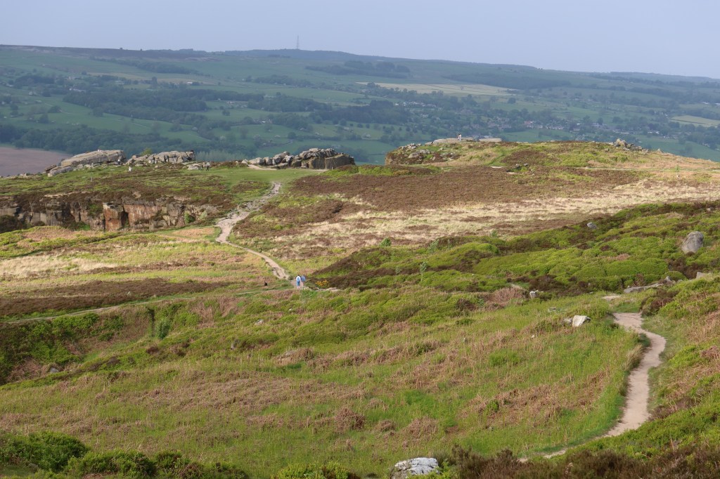
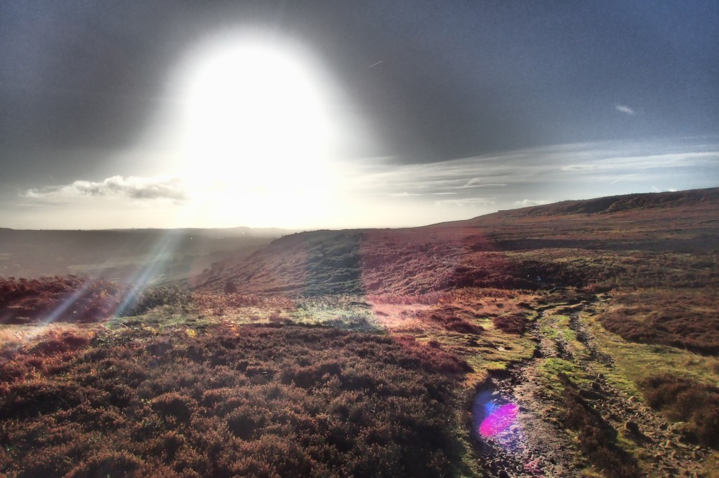
Soon you will see a magnificent view of the lower Wharfedale valley on your left, with the rising escarpment of Otley Chevin straight ahead.
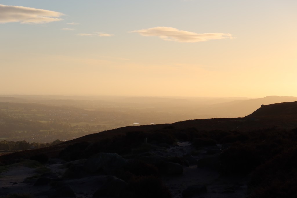
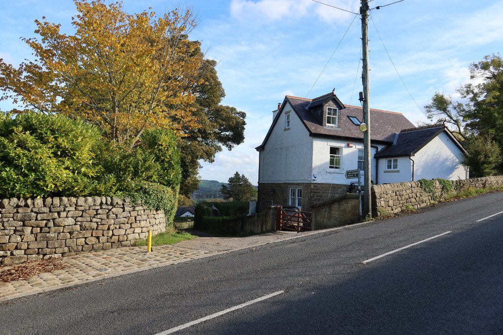
Keep going on this superb track, enjoying the views such as the one above. It really is a spectacular piece of footpath. When you arrive at the Burley Moor junction (see sign below) head downhill to your left, arriving at a main road. It is a very busy road leading to the car park at the Cow and Calf so do take care. Luckily there is a pavement, so head left for a short distance and you will see a sign by a building on your left which you should cross over towards. Pictures below.

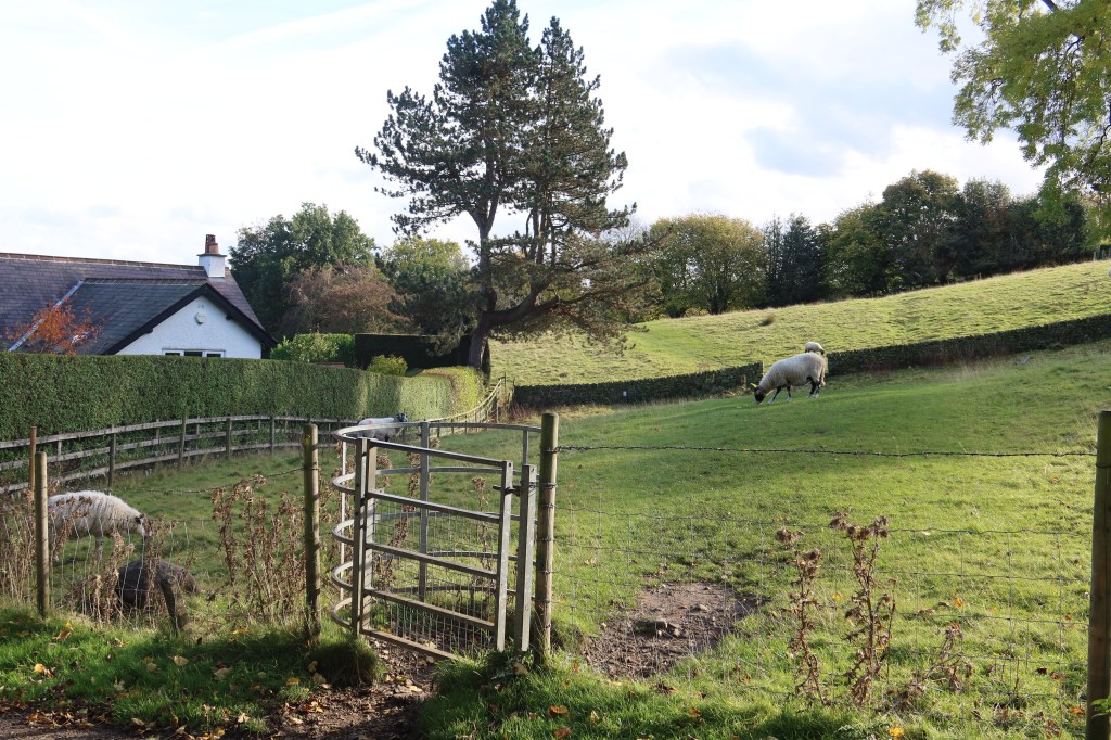
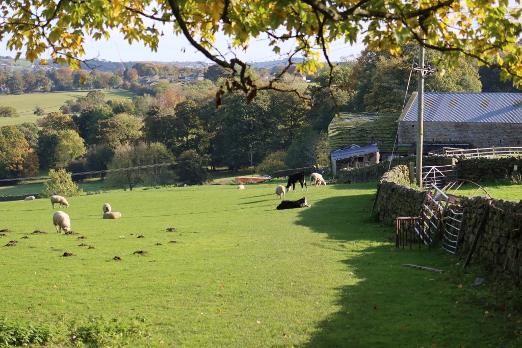
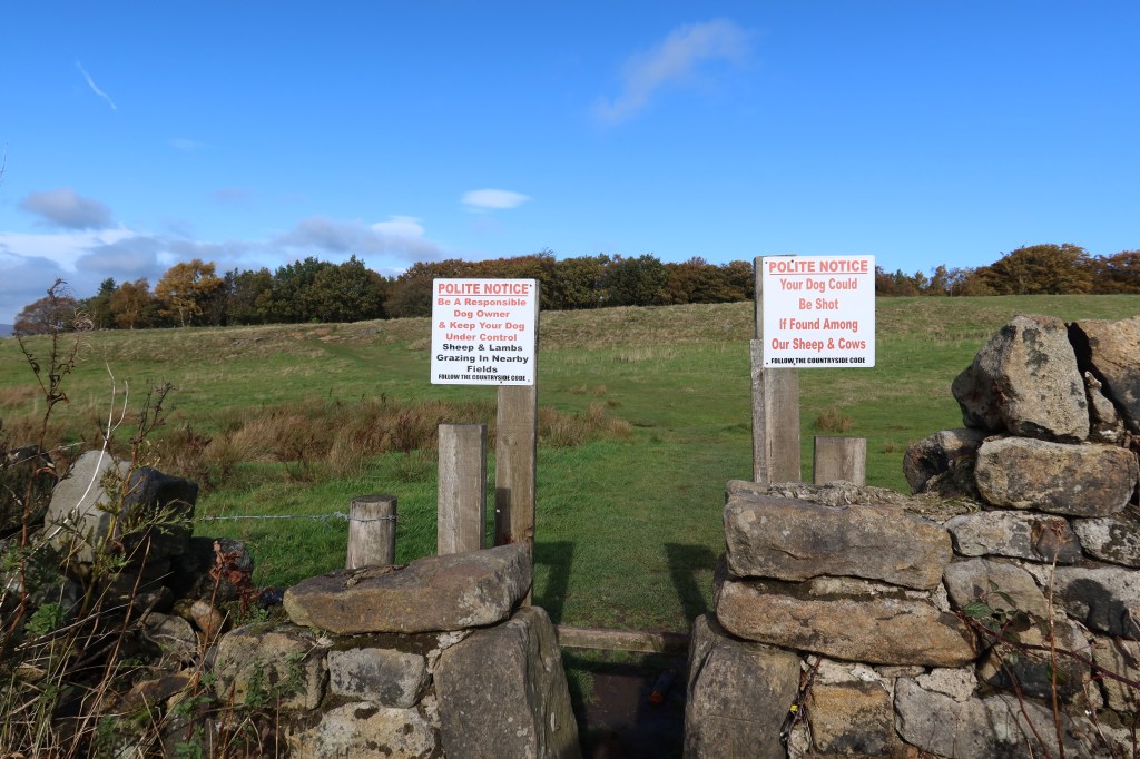
Now usually, I will take care to avoid all farms and livestock whenever possible. But this is the only reasonable route without going a very long way around which is quite pointless. Additionally, the livestock are only sheep, and the farmyard that you do have to pass through has no dogs or cattle which is great. So this is actually quite a pleasant farm walk, even by my standards.
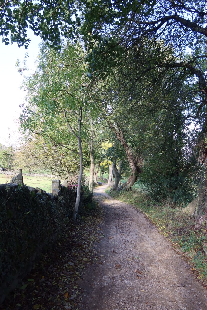
Follow the signs across several fields of sheep, going through gates and stiles as you do so. Eventually, you’ll arrive at a large field with a farmhouse at the end. Go to the building, go through the gate and literally straight across to the other side without turning left or right. You’ll find a gate at the other side, and the start of a wonderful country lane with a beck nearby. This leads into Menston.


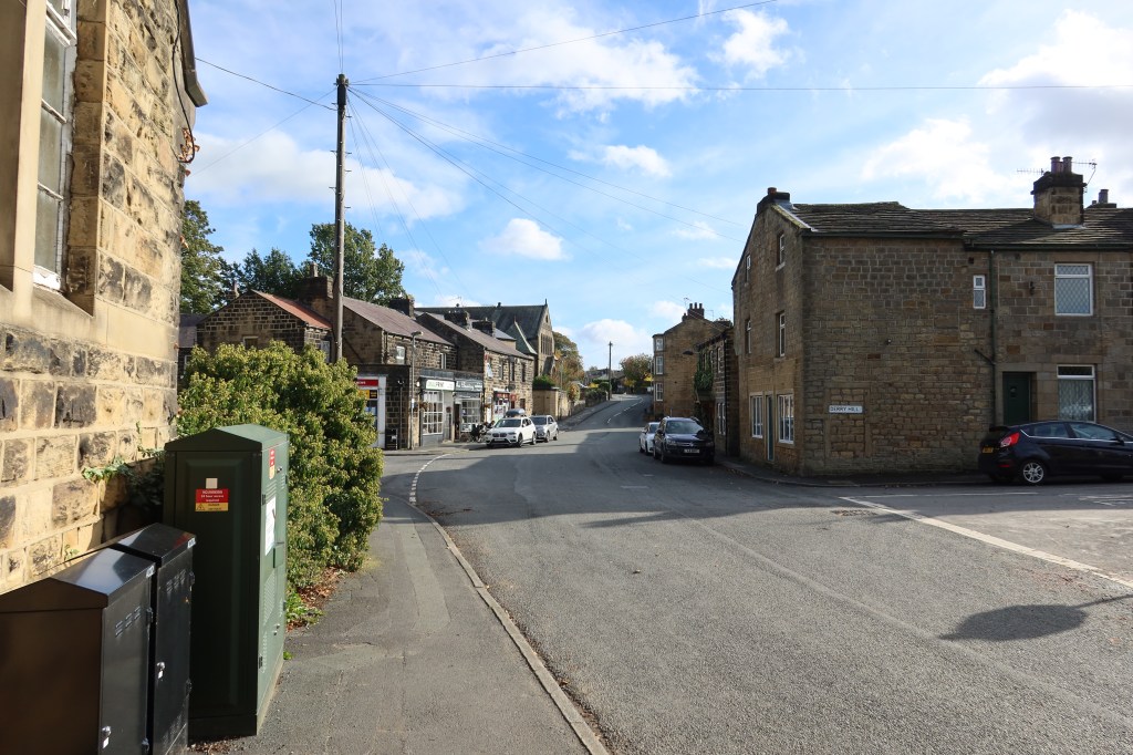
Follow the main road through Menston, as it winds up and to the right and left, eventually towards a large recreation ground. Follow the road with this to your left, and right around until you arrive at a fork in the road. Take the right hand fork, for a short distance, and then, with difficulty, cross over the road and head immediately on opposite. You’ll pass a cemetery on your left and walk down a gentle slope to cross a railway line. Continue along the footpath over a bridge heading uphill until you meet another road with a footpath again immediately opposite. Cross the road and continue up.

Keep heading uphill, past a wind turbine on your right until your reach a T junction. You should see an impressive castellated building in front of you. Head left.
This is another busy road, so take care with traffic and focus on taking the first road on your right. This will be about five minutes walk. You will pass by a road on your left before you find the right turning. Once you are there, take the right turn and continue uphill. Almost at the top of the first rise you will see a lay-by on your right with a public footpath on your left. Take the path, at which point you should see the signs in the photo below:
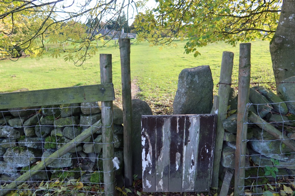
Go through the stone stile, and across the field diagonally left, towards the trees. Go through the gap in the wall when you arrive, and then head right. The path is faint at times, and this woodland is often busy with families out for walks. It is also a spot for boulderers and some bikers.
Keep heading as close to the wall on your right as you can and you will be able to make out a faint path. Eventually, this will lead you out of the woods and onto a sandy path past a bench. Continue on this until you reach the crossroads seen below – this was taken from the rocks at the top of Otley Chevin. Keep going past the rocky summit and downhill a little way and you should see the ice cream van and free car parks. These make great access points to resume the trail. If, however, you are feeling fit and without a car, you can either head north into Otley itself or you can continue on the trail.