
Heritage Highlights:
All Saints Church 1410, Puritan Chapel 1649, Harewood House 1771
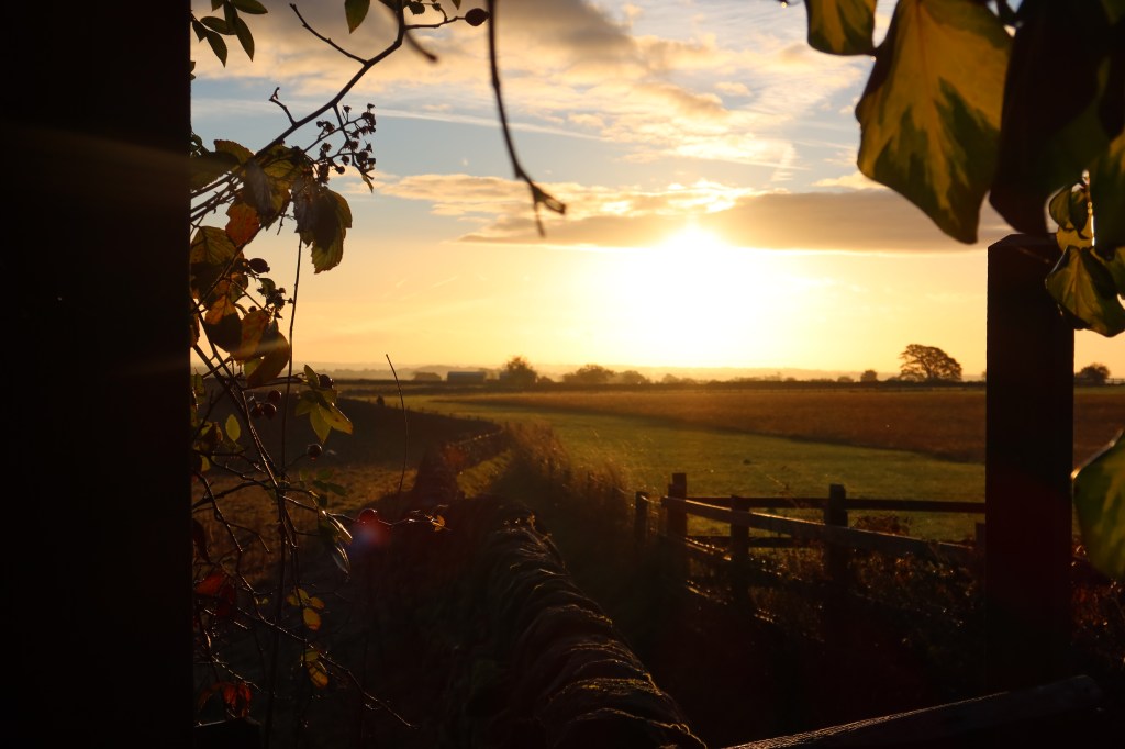
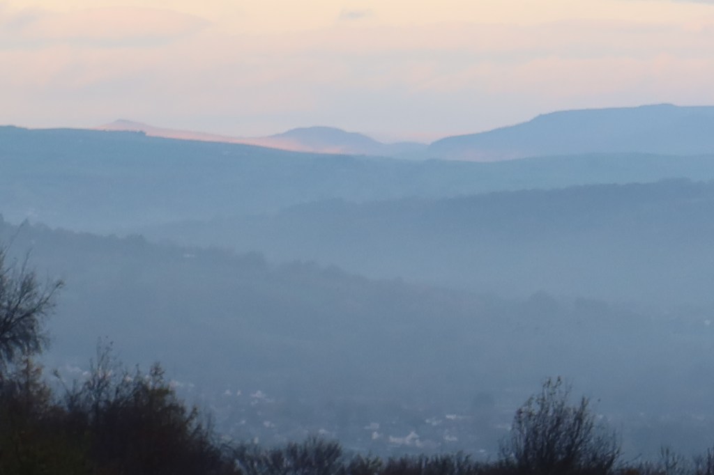
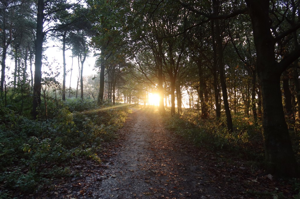
Section three resumes the walk at the top of Otley Chevin, by the rocky outcrop called Surprise View, overlooking the river Wharfe and the town of Otley to the north. In the light of sunrise this is a magic spot to just spend a few minutes taking it all in, and maybe you will enjoy something similar to the view in the picture below.
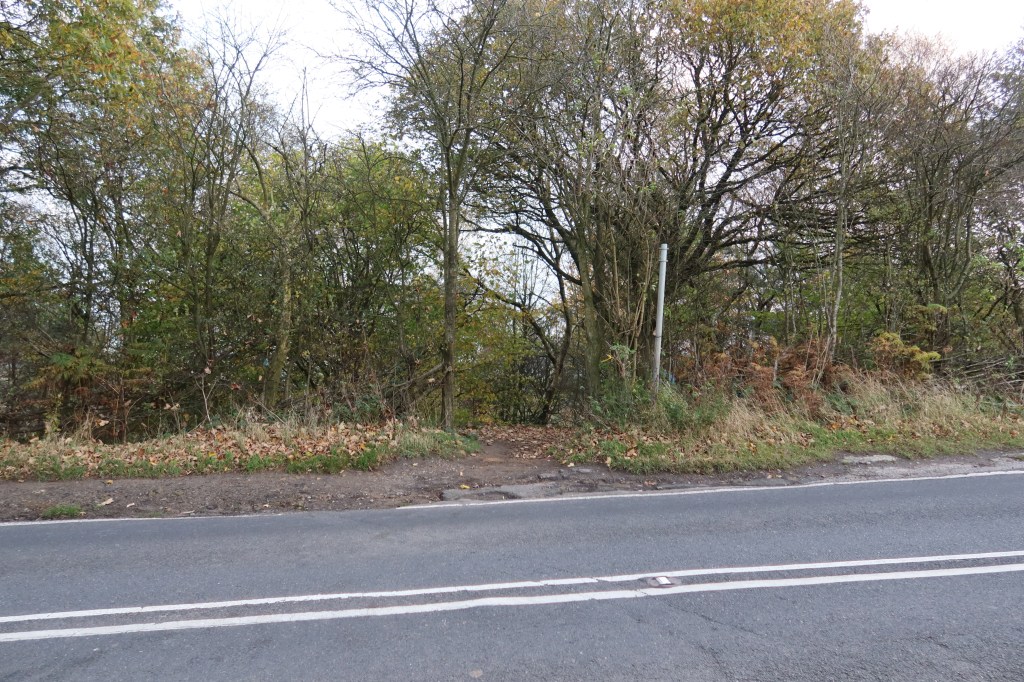
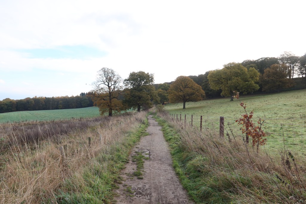
Head east, with the viewpoint to your left, and continue on the sandy, rocky track gently downhill. You will come to East Chevin Road after passing through a gate, at which point continue straight across. Take care, it can be very busy around here.

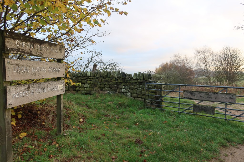
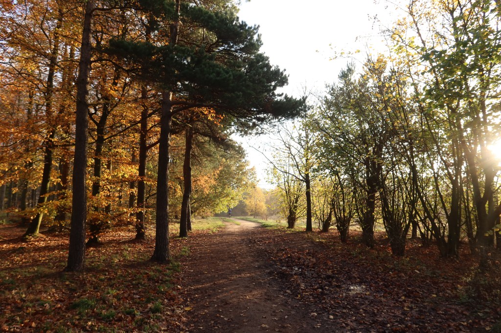
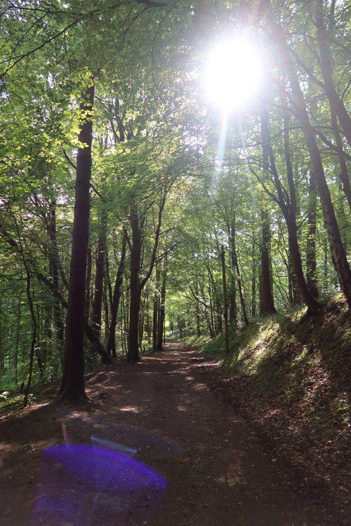
After you cross over the road (pictured above), follow the track up to the car park, then turn left about 90 degrees and continue on the well made forest path. This is now Chevin Forest Park.
Head straight on until the chance to turn right up a curving slope near a wall. Continue uphill, past a white trig point on your left until you reach a crossroads of sorts. One path on the left has some pylons marching up it, do not follow this, instead the track just to the right, pretty much straight in front of you is the one you need. Carry on walking.
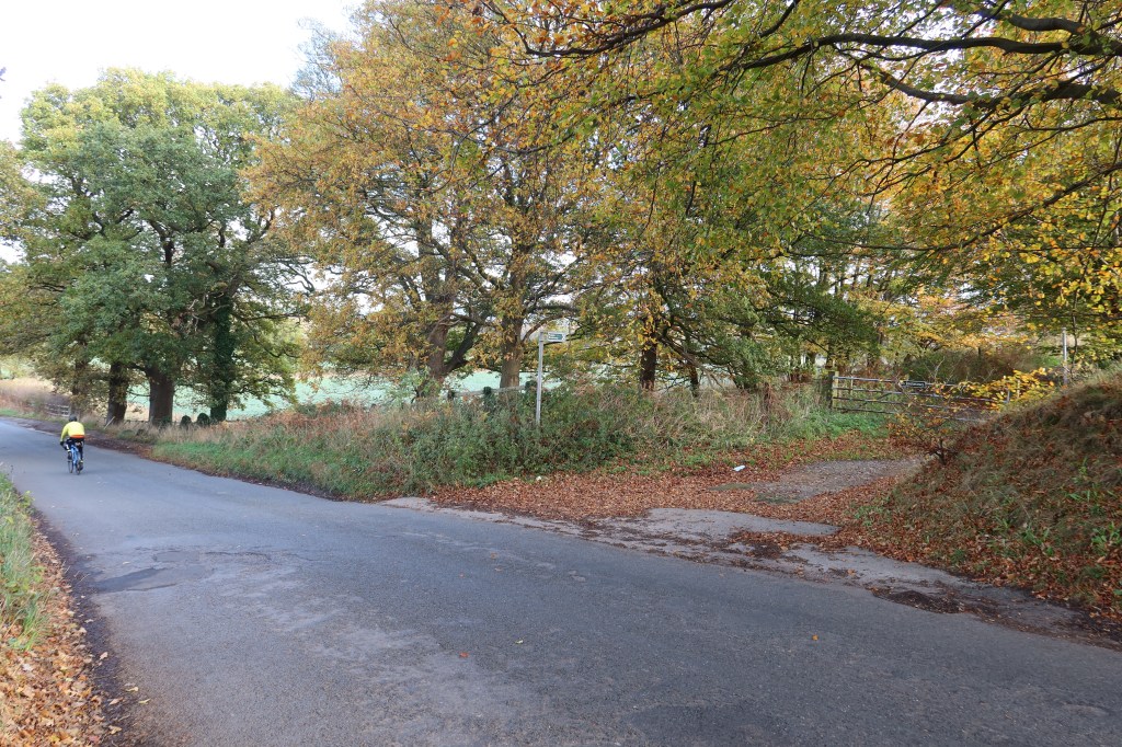
You will then reach a T-junction in the woods. Turn right for a very short distance (maybe 20 meters) then plunge left into the woodland proper, on something like a track. It is easy ground to walk on, keeping the dry stone wall on your right as you go. Eventually if you follow the wall you will end up in the corner where a path emerges to take you into open countryside, hemmed in between two walls. Follow this path to reach the A658 at Old Bramhope.
At the road, again busy, cross over and you will see a public footpath on the other side. Instead of following the path, head right, on the pavement, until you reach a cycle lane heading left towards Bramhope. Take the cycle lane and keep following the road, turning neither right nor left, until you reach the junction pictured below.
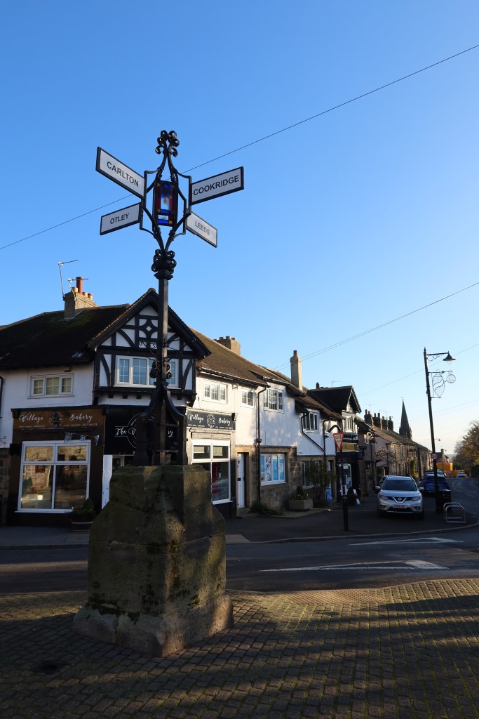
Bramhope is included in the Pevsner guide to West Yorkshire and is mostly noted for its C17th church heritage. If you were to head left at the cross roads you would arrive at a Puritan Chapel dating from 1649, according to the guide ‘one of the most valuable in England’. Worth a short detour.
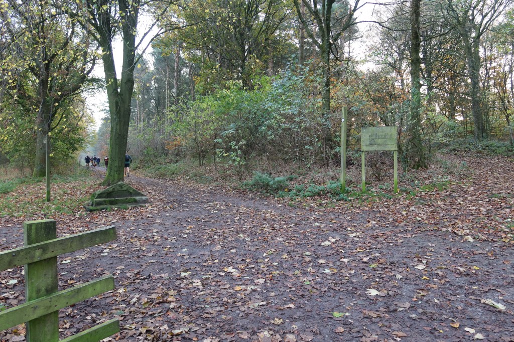
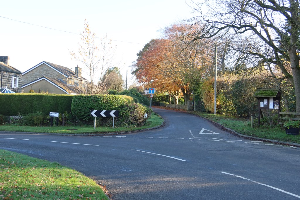
Follow the sign to Leeds, except hopefully you won’t end up there or you will have strayed from the path quite a bit! Keep on the road until another major road, the A660. A set of lights on the right allows a safe crossing this time, and also some shops nearby offer opportunity to stock up on supplies if needed. Carry on walking the road opposite the one you have just come down, until you reach the bend and right turn pictured below. Take the road on the right, called Breary Lane East.
Follow this road along past some large houses into a small settlement called West Breary, then at the end the road will turn quite sharply to the left. If you look to your right, however, you will see a track starting next to a construction site in an unlikely place. Follow it to a wooden stile at the end into a farmers field. There are only sheep grazing here, and you should watch the YouTube video below for specific guidance as it can be tricky to follow. This route is often used for Bronze DofE groups so you may occasionally come across groups of lost teenagers with large backpacks looking distinctly out of place!
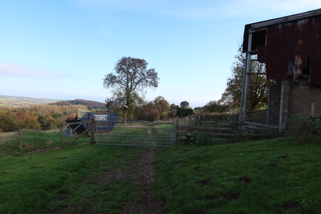
When you have watched the video you will be on Bank Top Lane heading to Bank Side. This is an old packhorse route leading to an intimidating looking farm. Don’t worry though as I have not yet seen a dog or any livestock, just sheep. It does feel like a strange place to walk through though, particularly with the creaking corrugated building to one side as you cross a stile. It is a place I always walk through quickly. There are alternative routes but all of them involve a lengthy road walk with no pavement which I judge to be needlessly dangerous.
Continue on to Allums Lane, then shortly after a T junction where you should turn right, back onto the Dales Way. This emerges at a road, turn left, and head downhill. After a ten minute walk on the road, you will descend sharply down to the left, and on your right at this point you will see a small track with a public footpath sign. You need to follow this path through the start of Harewood Estate.
This is quite a long path through the woodland, as the Estate itself is huge. Luckily there are no real navigational problems, and at the first major crossroads you have a choice – keep following signs for the Leeds Country Way, or take a 90 minute history detour. Instructions below in brown.
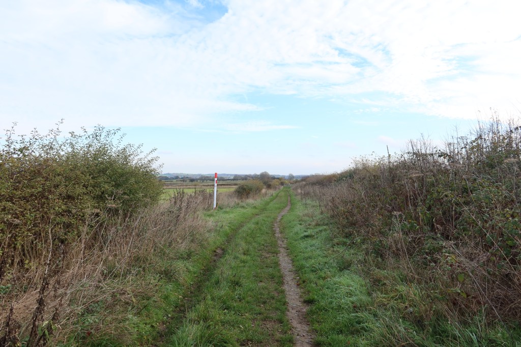
If you decide not to go on the ‘history’ route, you will see some of the sights in the pictures below, and eventually cross a bridge, go through a gate, and emerge onto a large open field with Harewood House in the distance on your left. Keep following the track until you reach the very busy Harrogate Road.
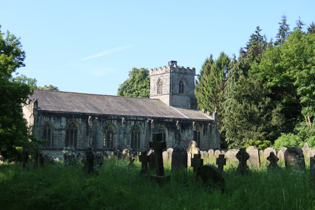
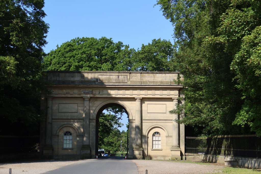
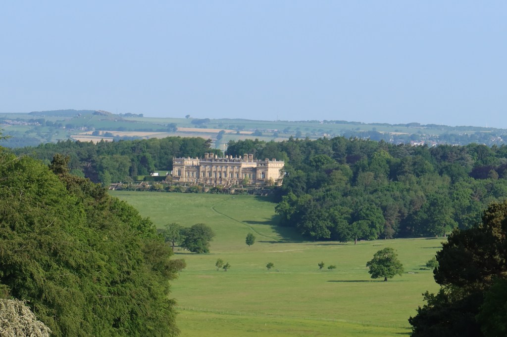
As you walk on the track in the picture below, you will come to a cross point in the paths. If you want a short walk through 1,000 years of English history, head downhill. You will be walking towards Harewood House (1771), with a recommended route as follows: follow the Ebor Way over the river with the House on your right. Turn right at the junction of paths, staying on the Ebor Way. In around 10 minutes you will arrive at a cattle grid with a path on your left and a gravel track on your right. Take the gravel track to a gate to see All Saints Church (1410) containing excellent late medieval artefacts and details. Follow the Ebor Way to the village of Harewood, dating from 1209, and if you have time, check out Harewood Castle down the road to your left (1367). To return to the main line of the WYHT, follow Harrogate Road south through Harewood, up to a school on your left and find the permissive footpath on the opposite side of the road. This will lead you to the southern gates of Harewood Estate and the Leeds Country Way.
At the gates of Harewood Estate, you will notice a minor road called Wike Lane opposite, on the other side of the very busy Harrogate Road. You need to get to this road but crossing safely can be a nightmare. The best solution I have found is to walk uphill, a few paces beyond the entrance to the minor road. You will notice lots of cars turning into this road so it can be marginally less busy crossing above than below. But really there should be some kind of pedestrian crossing here. Again, there is no other way around.
All you have to do now, is follow the signs for the Leeds Country Way and you will pass through Biggins Farm, again another non-threatening farmyard. There are large stacks of hay on one barn to the left and some horses in a paddock. A few chickens scratch around for food and I have occasionally seen police horses being ridden on the bridleway. But no dogs, cattle or anything that could cause serious anxiety.
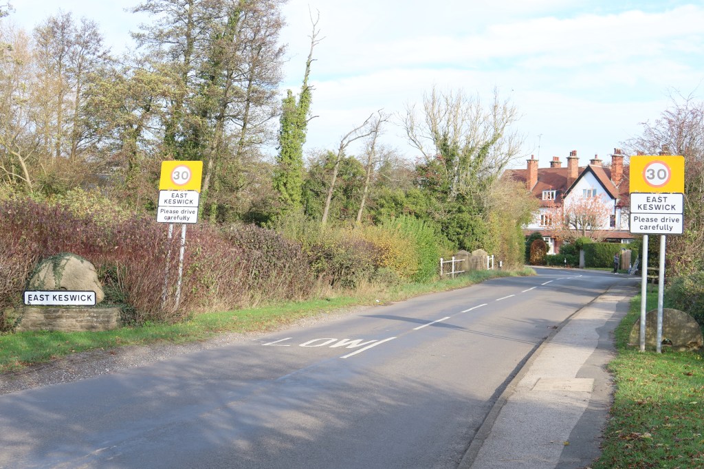
After the farmyard, the path will snake its way through the countryside, not needing to take any other paths. Just stay on this one. You will eventually emerge at a road, take a left turn and head into East Keswick for some refreshments if you feel the need. This is the end of section three.
Section four will continue from East Keswick to Barwick-in-Elmet, one of the small villages that sits on the eastern fringes of the City of Leeds.
