Heritage Highlights:
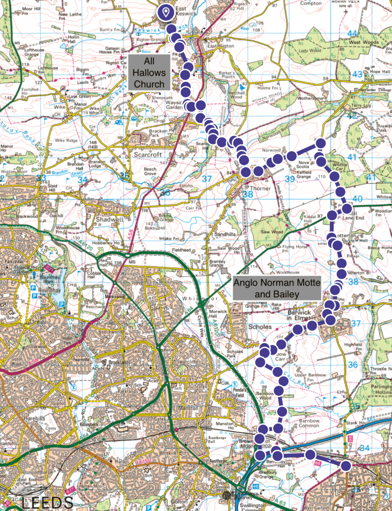
All Hallows Church C9th, Anglo Norman Motte and Bailey C12th
This section is quite tough for two reasons (among others) – it’s a long one at 18km, but also there is a fair bit of on-road walking without pavements. Luckily the roads are not that busy, or at least were not for me on a weekend when I spent time on them. There are alternative public rights of way to the road sections, however these go through farmers fields and areas with cattle, so I have not included them. The rest of the sections involve much less road walking, which is a good thing.
Directions:
From Gateon House Lane (the end of Section Three), turn left on Wike Lane, and then immediately right again onto Keswick Lane. Walk past Rigton Grange and turn right on Woodacre Lane. Go straight on towards All Hallows Church at Bardsey, our first historical site of interest.
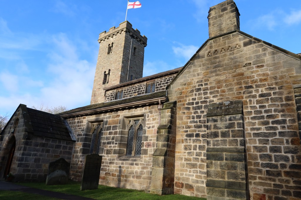
In the picture above, you can see the foundations of a C9th building, then redevelopments higher up in the C10th. Finally the tower is Anglo-Norman C11th. This is a brilliant example of early-late medieval architecture which has been overall well-maintained through the modern and contemporary periods. It is, I believe, the finest (only?) example of ‘Dark Age’ architecture you will see on the entire trail. See references below for architectural details described more fully and for a good overall introductory guide to the wider contextual history of the country at that time.
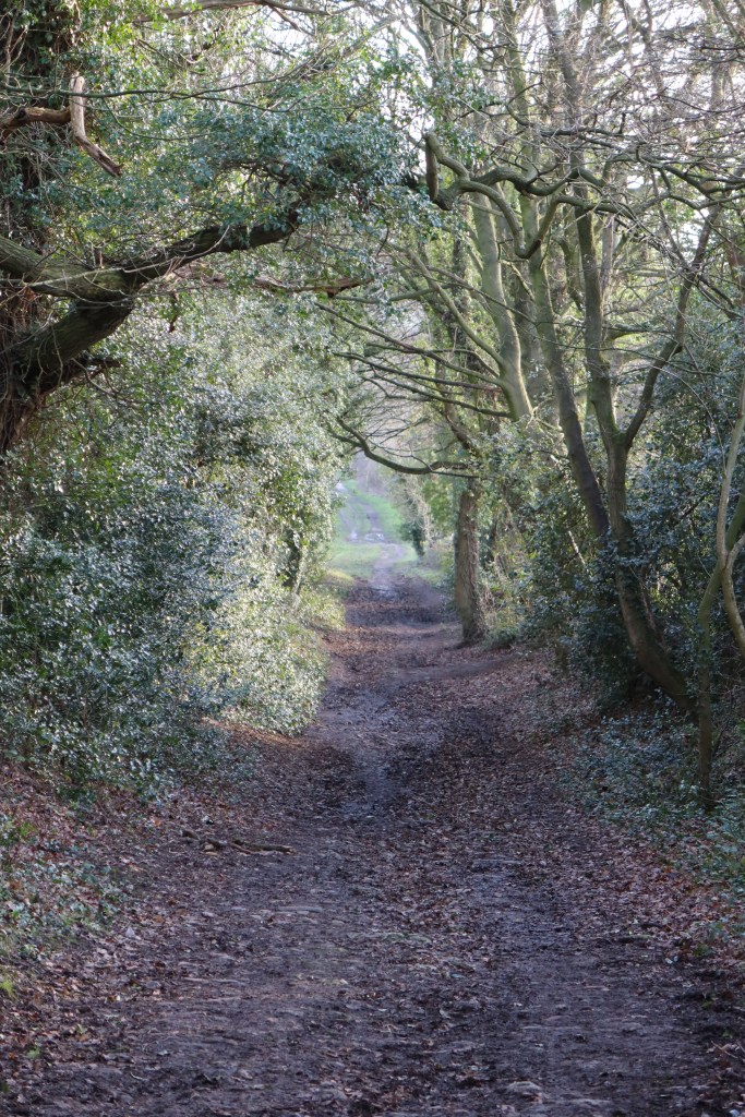
Walk through the gate in front of the church, go diagonally right behind the building and then through the wooden gate in the wall near the back door of the church. You’ll see a signboard with some information about local wildlife to spot, and a path to the right sloping downwards over a beck. Go down this, up the other side and immediately right. You’ll see a field of crops in front of you and a large earthen ditch. The right of way is to the right, by the wall and hedge. Follow this muddy path upwards (maybe go after a long dry spell or a drought) to find a gap in the hedge on your right and the path continues onwards.
Pass some houses, curve round to the left, and then cross a road and go straight on. The path becomes even muddier (almost like a swamp when I walked through) with a hedge on your left. At the first hedge going upwards on your right, follow it with the field open on your right-hand side. Continue up and over the field, ending up at the corner on the other side. Follow the path through the corner.
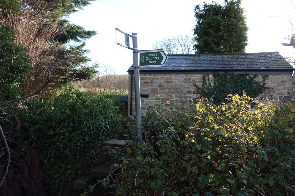
You will pass by some open water on your right; these are private ponds owned by the houses here. The path snakes through woodland and over a bridge into another open field. Turn left and head towards some houses. Follow signs for the Leeds Country Way, and head left on the main road.
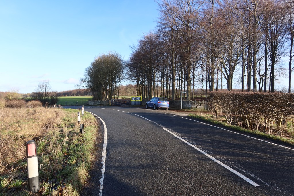
Continue on this road up the hill, past the horses and livery centre, to a junction pictured below. Turn right.
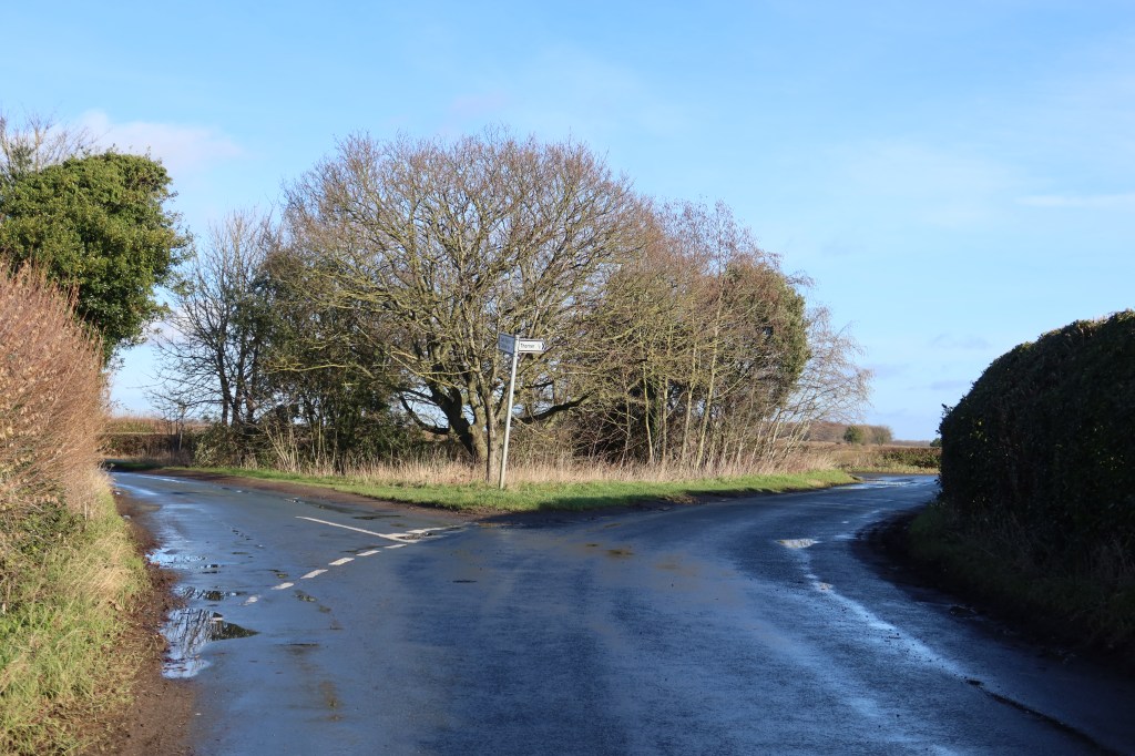
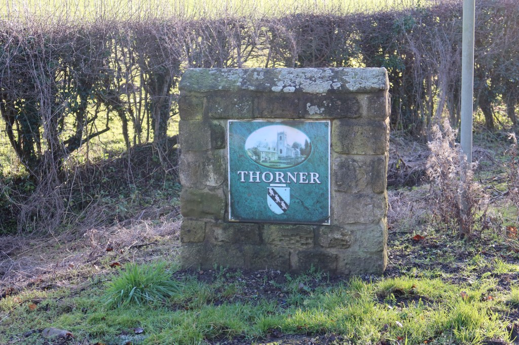
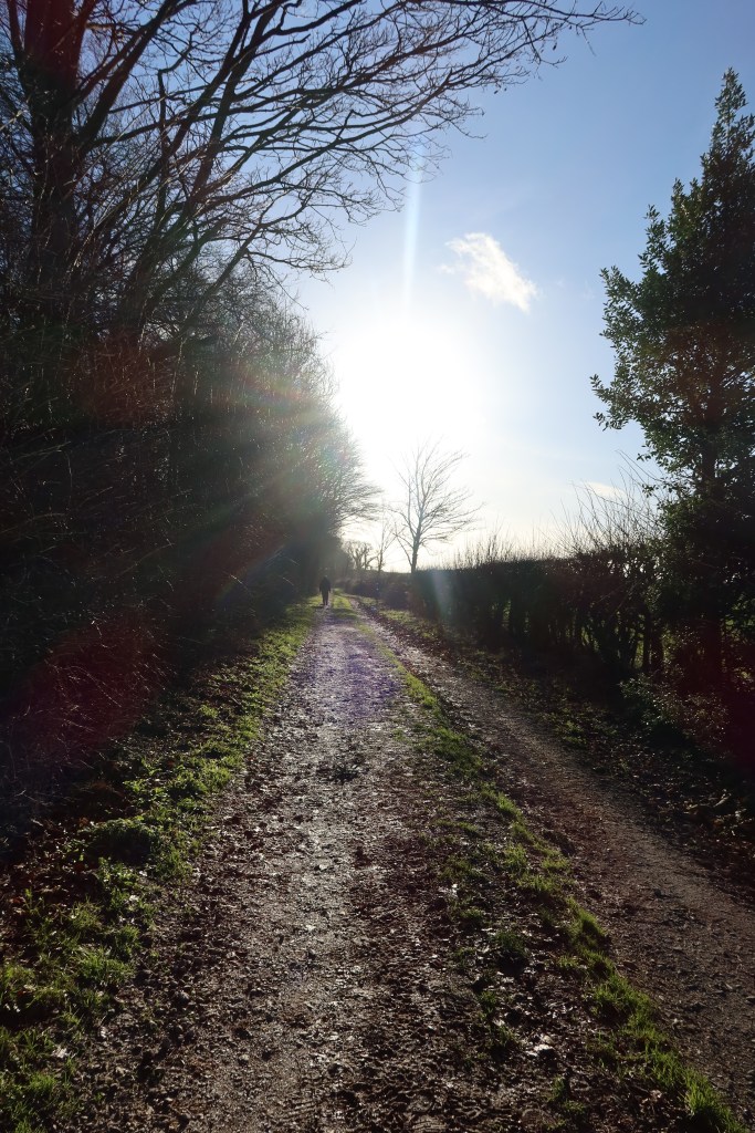
Follow signs to Thorner, heading right again downhill towards this small but charming village. Then take your first road turning left, the junction seen in the picture below.
This next section is the most risky as the road can get a little bit of traffic, so do take care. The pavement runs up to a bus stop shelter and then it’s just a road walk for one kilometre. You will pass by a farm on your left, and then eventually public footpath sign on your right with a large woodland to your left. This is Bramham Park. Follow the West Yorkshire Cycleway south bound, past a large electric pylon on your left, to a busy main road.

At the main road, turn right, and keep on the grassy verge for around 200 meters. There is a right of way the other side of the hedge to your right, however I would not advise this route after rain. Pass the Fox and Grapes pub on your left, and take the road on the left, signed for Potterton and Barwick in Elmet.
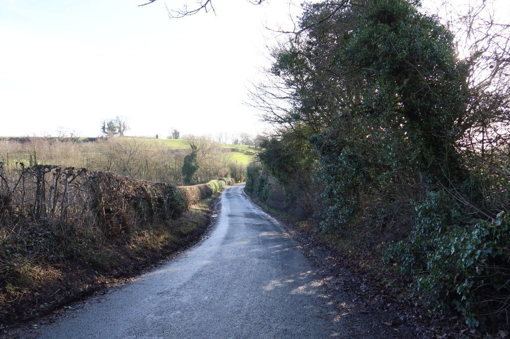
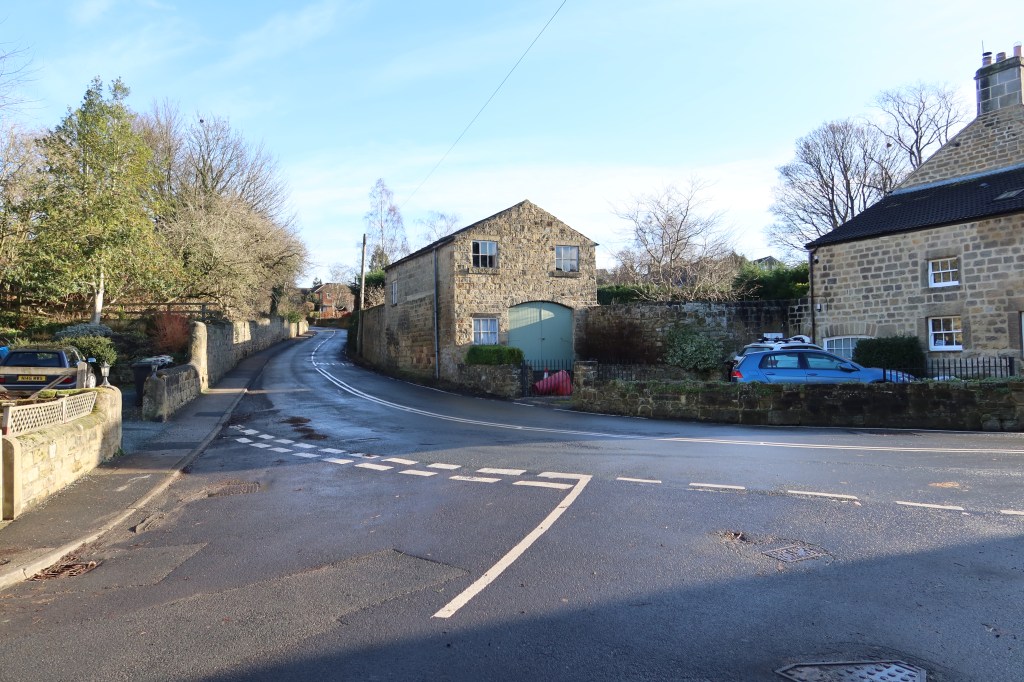
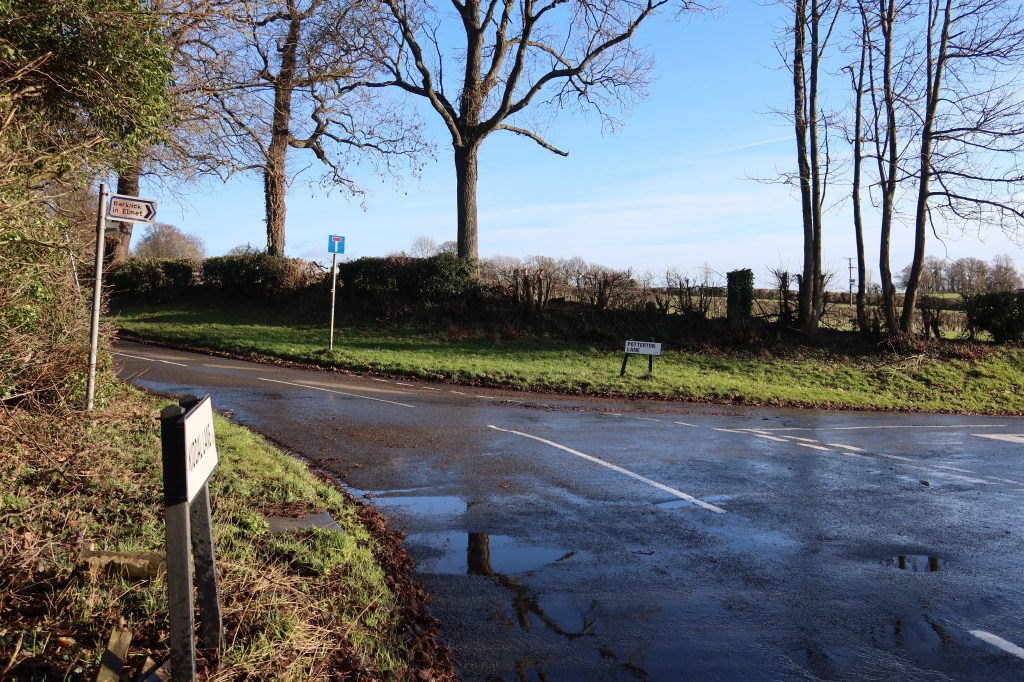
Follow the road as it curves to the left, and turn right at the junction in the picture below. One again, it can get busy so do take care on this section. Pavements will return very shortly, promise!
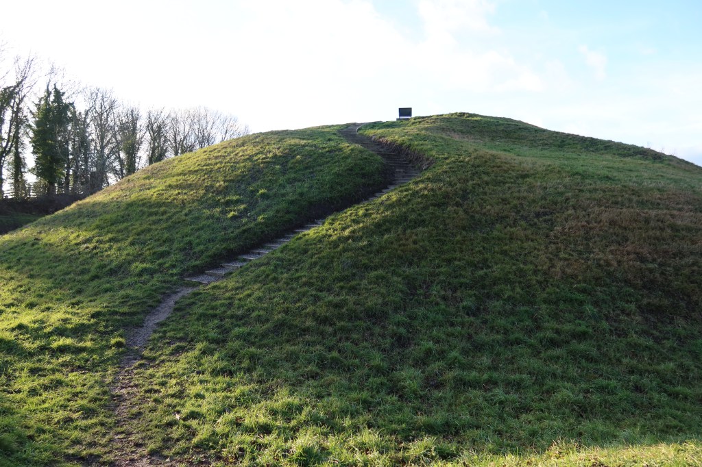
Head downhill and then up again, to enter the village of Barwick in Elmet. Here, you will find a maypole, an old stone cross right next to it, an Anglo Norman motte and Bailey and a late medieval church containing some Anglo Saxon crosses. To see the hill fort, head past the maypole to another church, and go to the gate to the left of the building. You’ll see a notice board with some information about the fort, and a gate to the left. Go through the left-hand gate (it looks like someones garden path but it is a public right of way) and it will surprise you for being literally ‘right in front of your eyes’. A magnificent piece of history well-preserved.
To continue, go back to the maypole, and with the hill fort on your right-hand side, go forward on the main road out of town. Follow this to a junction, at which point head right, towards Scholes. There is a good pavement now until the next turn.
Just after you see the sign entering Scholes, look for a public footpath on your left, between some houses. Follow this as it weaves its way through field with hedges walling you in on either side. It’s a fantastic path, taking you up and over some gentle rise in the landscape, before you arrive beside a farm on your left. Don’t worry though, it’s far enough away to cause no issues.

To your right you’ll see a minor road heading up towards a busy A road and bypass system. These all have pavements, so you should head up to the main roads, and head left. Follow the road, passing a major shopping complex on your right-hand side, until you see this sign pointing left:
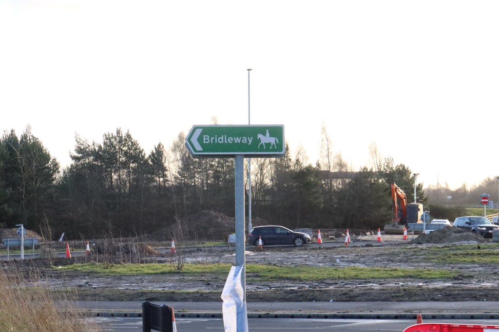
Follow this, uphill, around to the left, and veering right again until it crosses the M1 motorway. The follow it to the left. The bridleway goes to exactly the same place as the main path and is actually nicer to walk on!
This will head downhill eventually, towards a quiet road which you can follow into Garforth. Cross at the lights in front of you, and you can celebrate your completion of section four with a well-deserved drink in either the Miners or the Lord Gascoigne.
