Heritage Highlights: Yateholme Doorway (1086), The Pennine Way (C20th)

This section will introduce you to two of the hiking highlights of the Heritage Trail. The first of these is the highest point in West Yorkshire, Black Hill, whose summit rests at the intersection of three metropolitan district boundaries. The second is when you set foot on The Pennine Way, a National Trail and a superb route that stretches north to south for nearly 300 miles.
We start at the bottom of Dunford Road. You should see an Ironmongers shop on your right next to a church, and on your left a Barclay’s Bank. Go towards the bank, and take the first left, Rotcher Road. This is a narrow little road and also cycle route number 68. Keep heading up until you can turn right on Cemetery Road. Stay on this until you reach a junction with Royd Lane and Hill House Road. Take the left, uphill road, as it curves round to your right. You need to keep following this road now for nearly three kilometres. It is not a busy road though, so you should be able to enjoy the increasingly good views as you gain height.
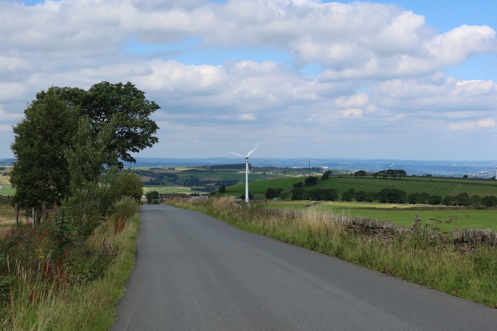
You will eventually pass a small wind turbine on your left as you carry on up the road. This is a key landmark to an otherwise difficult to distinguish turning point in the route. Just after the turbine, you will see a track running off to your right, near a small copse of trees on the left. Take the track, going gently downhill towards some more trees on your horizon. This is marked on the OS map as the Kirklees Way, Ramsden Road. Follow the track as it curves a little and keeps going down. Follow it round to the left and quite steeply and muddily down to a junction. Turn right, heading downhill, ignoring a tempting option to head left. You will notice a small track leading away to the right, to a stone wall and a stile/gate. Go through this and keep going downhill.

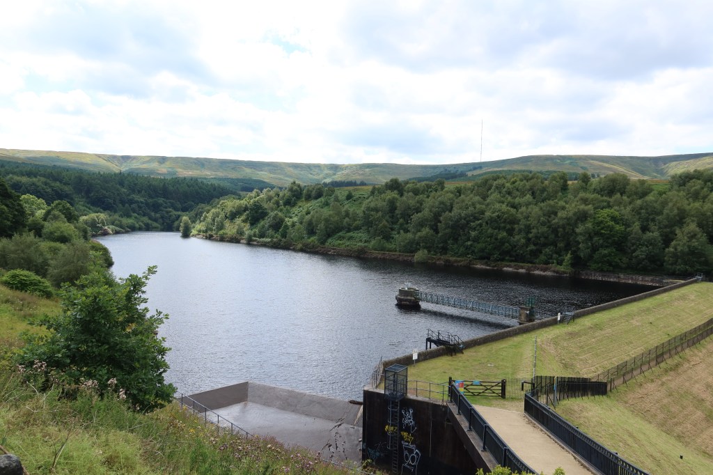
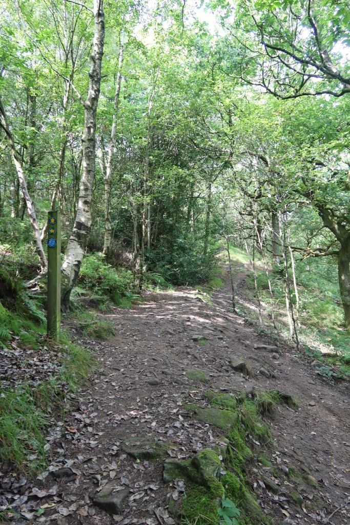
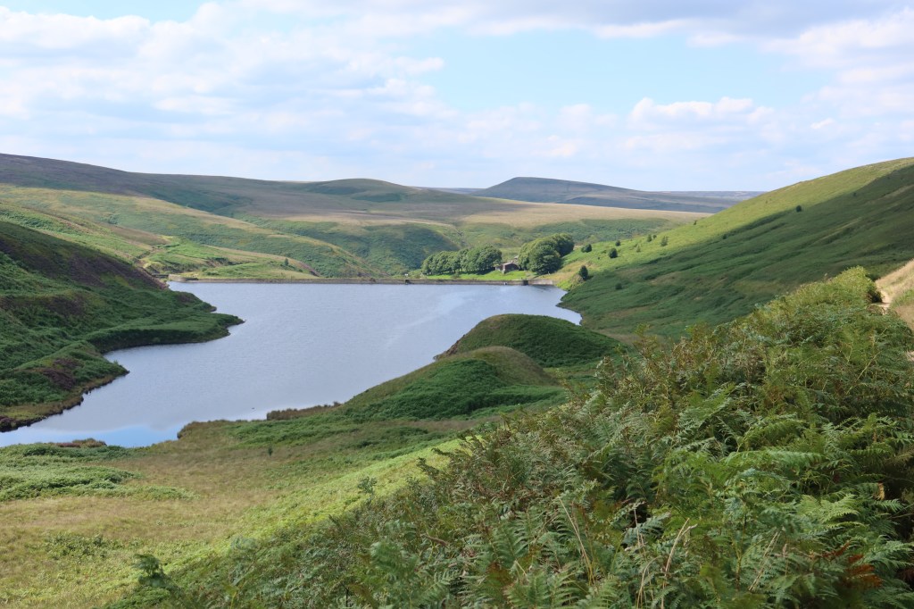
You will soon arrive at Brownhill Lane, with a car park on your left. A reservoir is ahead of you. Turn right on the road, and quickly afterwards, take up the pathway and bridge onto the main reservoir crossing. On the other side of the reservoir, turn right and head through a passage with metal railings on both sides, emerging onto a wooded trail. You will see a trail marker sign on the left (see photo below) – do not turn left, instead carry straight on.
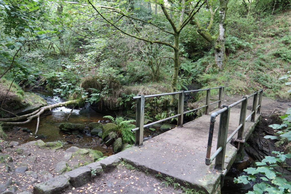
The path will wind its way through the woods, coming closer to a small stream. Cross a small bridge, and the path will climb uphill to a series of stone and wooden stiles through fields. There is no livestock here. You will end up walking through a very narrow walled path to emerge in the small village of Holme.
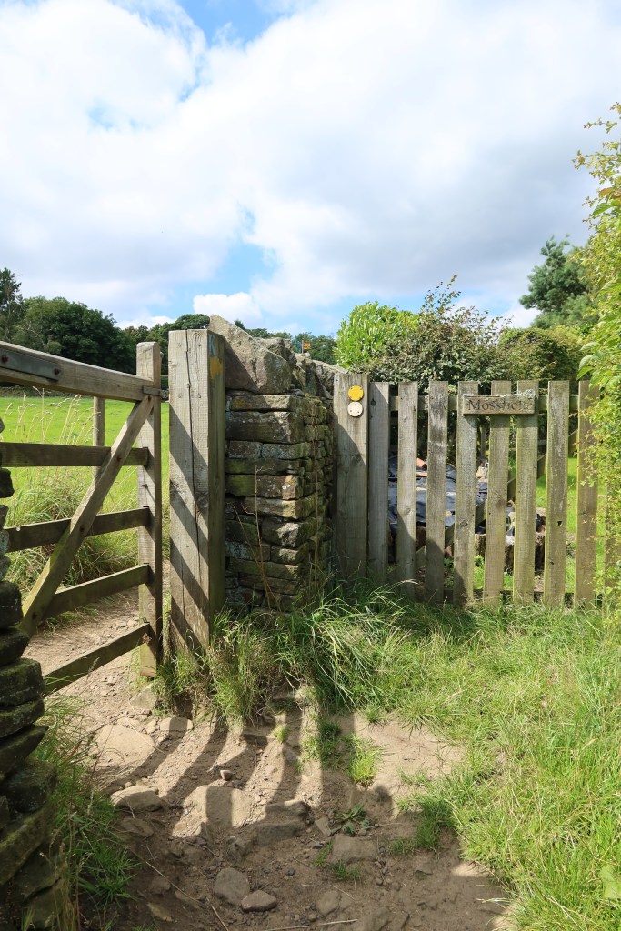
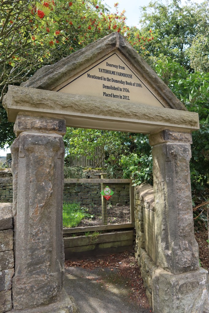
As you emerge onto the road, cross over, turn left and continue along for a short distance until you see a wide cobbled street on your right. Take this and you will see on your left the Yateholme Doorway, with a carved message on it, as seen below.
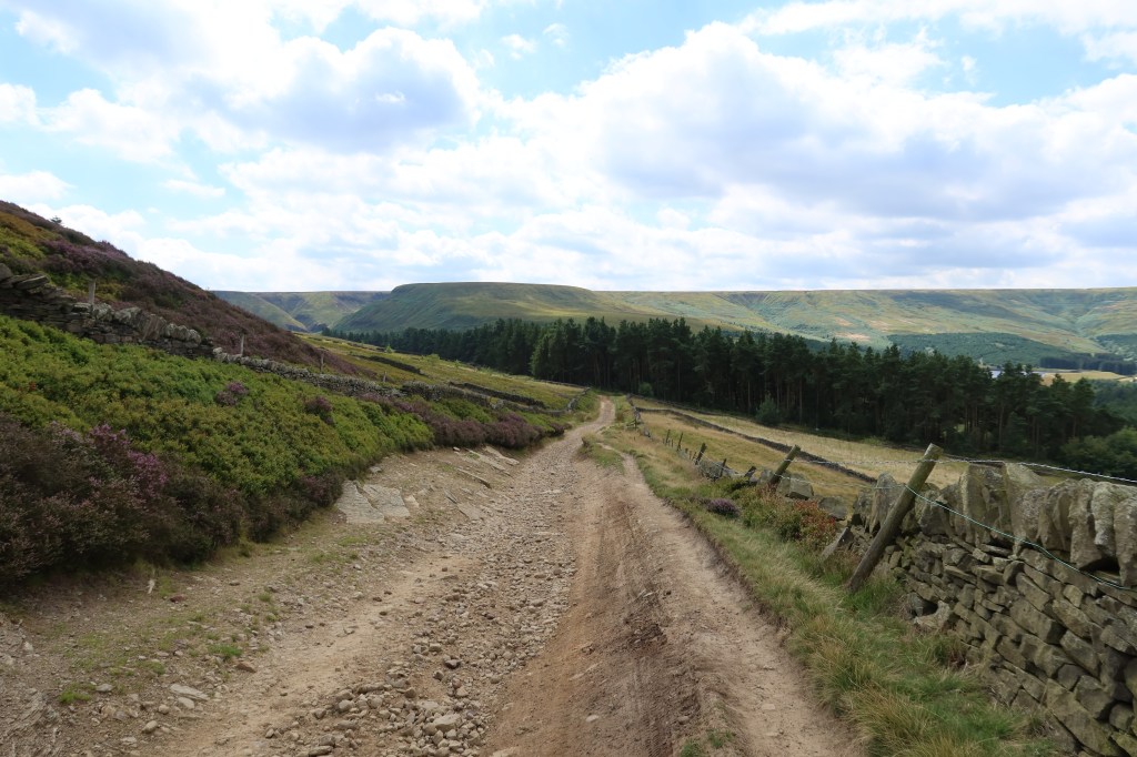
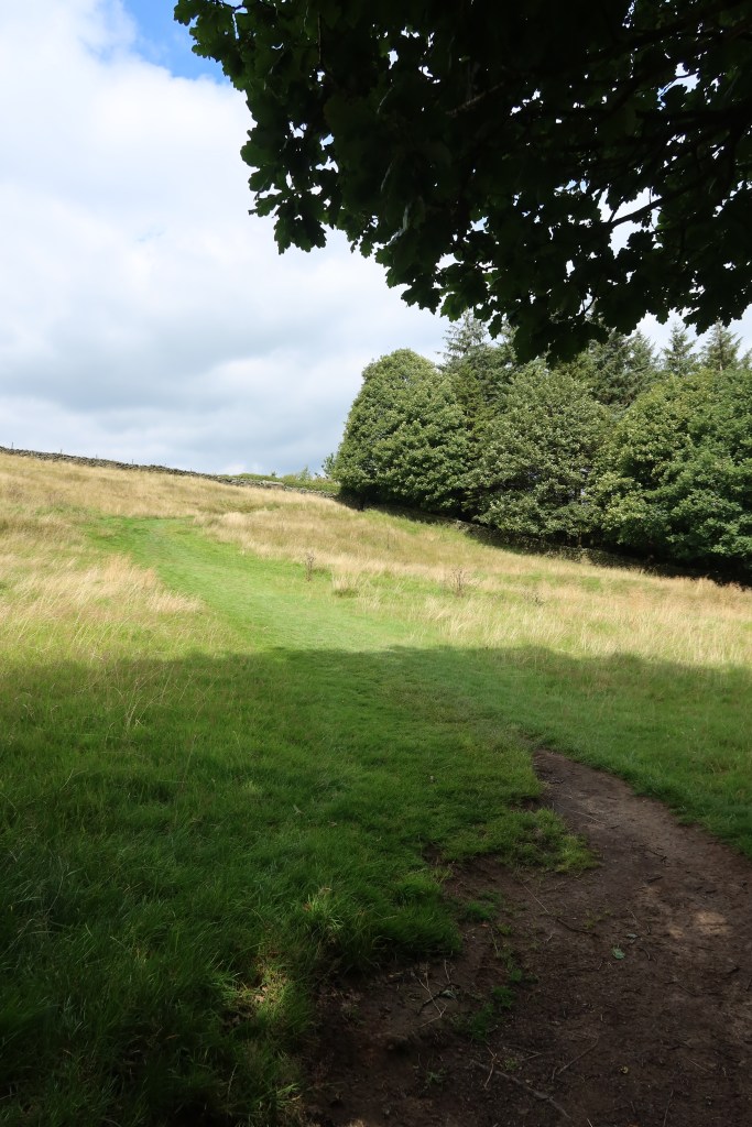
Once you have finished taking pictures by the old doorway, continue on the lane and you will pass a primary school on your left and a couple of pathways on your right. Try not to follow these, but instead stick to the main trail. The path will rise, pass a bench by a stone wall on your right and then go over the brow of a small hill. You should be able to see the following view soon:
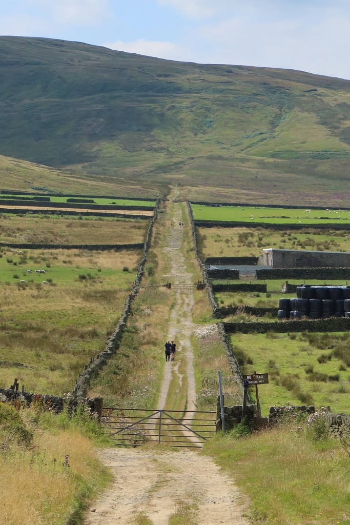
This is a very well preserved old road that I am assuming used to connect farming communities all the way to Manchester. I have once seen cattle right in the middle of the path however I think this was due to someone accidentally leaving a gate open. It should be free as a public footpath to enjoy with all gates closed. This is part of a working farm though. If cattle are on the path, there is a workaround route going via Digley Reservoir but it is a very long extra hike, so have not included it here.
But crucially, that hill you see in the photo is the highest point of West Yorkshire, called ‘Black Hill’. It is 582 meters high, making it just 18m short of mountain classification. If you head down the old road, cross the stream at the bottom, take up the very steep path on the other side, you will emerge onto a very well used trail – The Pennine Way. Head left if you want to see a view from the top of the county; it’s well worth the short extra hike.
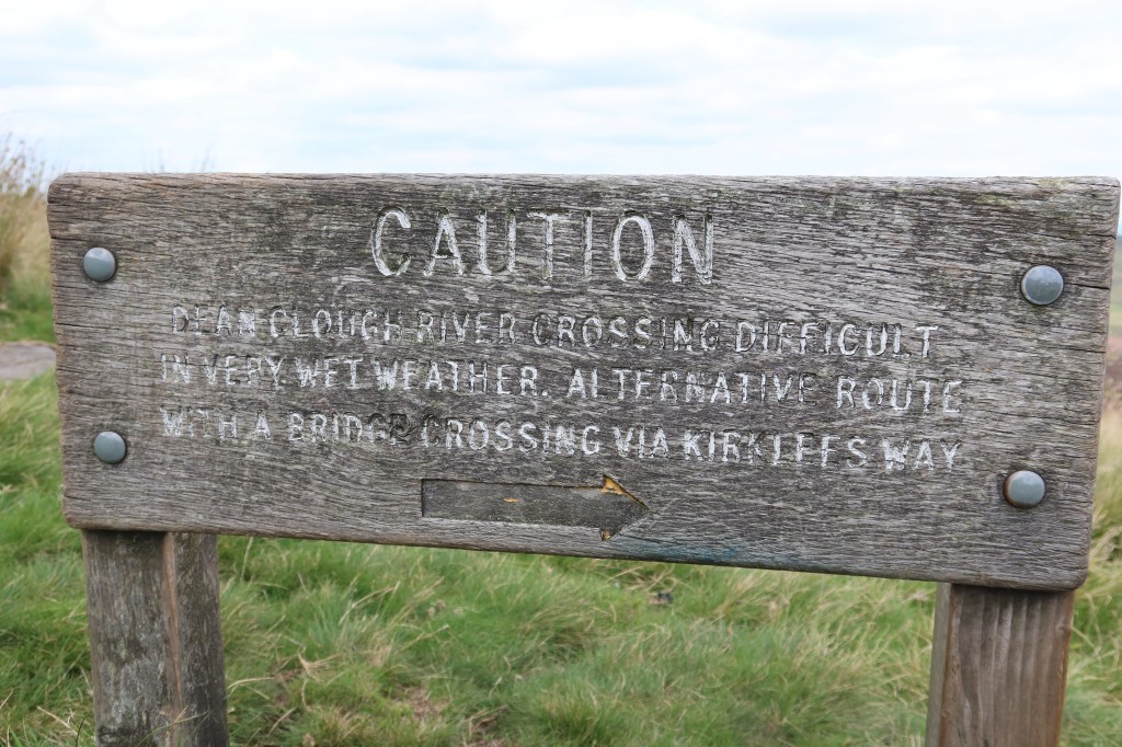
A word of caution here though – if you are hiking this in the pouring rain, there is a stream to cross further along the track. It can rise very quickly, making a safe crossing difficult. This has caused so many problems that the council put up a sign about it (pictured below) but unless you can read a map it makes almost no sense!
Except the Kirklees Way is not brilliantly well marked on the ground…
All I can say is do it in dry weather!
This section of the walk is particularly amazing on a late Summer evening after a warm and dry day. If you have followed all directions successfully, you will arrive at a really busy road – the A635. Cross over, turn right, and take up a minor road the starts on your left soon after. A short while later, you will see a gate and public footpath starting on your left. This is the continuation of the Pennine Way, down through a reservoir system into Marsden. You are close to the end of the section now.

The track is very well made, so just enjoy the views with no navigational issues. Wessenden Head Reservoir is the first to appear, as you snake your way along the side of the hills on the eastern side of the valley. Its sister water, imaginatively called ‘Wessenden Reservoir’ is the next, dominating the view.
Soon you will arrive at a fork in the path by a small farm. Head downhill, left, and then right. You need to stay on the right-hand (eastern) side of the reservoirs all the way down.

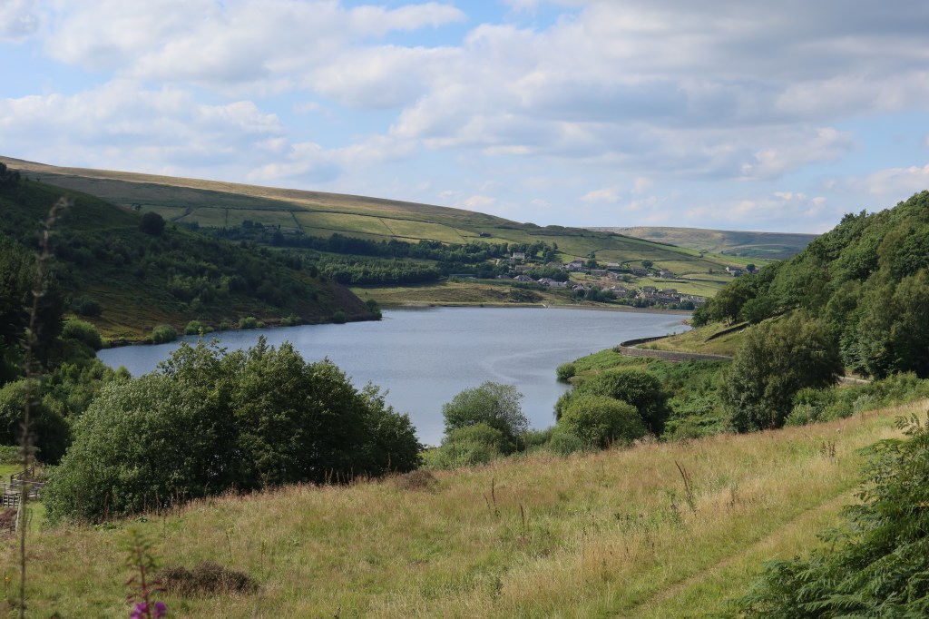

Now head downhill to Marsden, and the start of section ten which takes you over the moors to Hebden Bridge.
