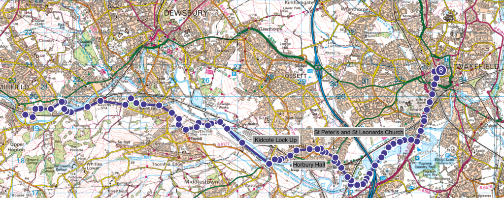
Heritage Highlights:
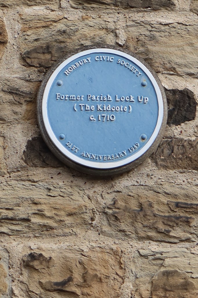
Horbury Hall C16th, Kidcote Lock Up 1710, St Peter’s and St Leonard’s Church C18th
This stretch of the trail continues to follow the canal through the industrial heartland of southern West Yorkshire. It is a broad mix of towpath, road and cycle lane with surprisingly good views in parts for all its lowland appearances.
From Wakefield Cathedral, head south onto Kirkgate, then turn right (west) and walk along the main street. As you join Westgate, there is a road on your left called Queen Street. Take this to the junction at the bottom and a crossing just to your left. It is lights operated as this is quite a busy road. Cross the road, turn right, and follow it round the corner towards a collection of main roads and some roundabouts. This is one of the most urban sections of the entire trail.
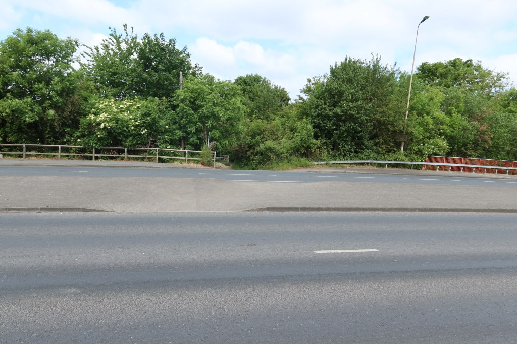
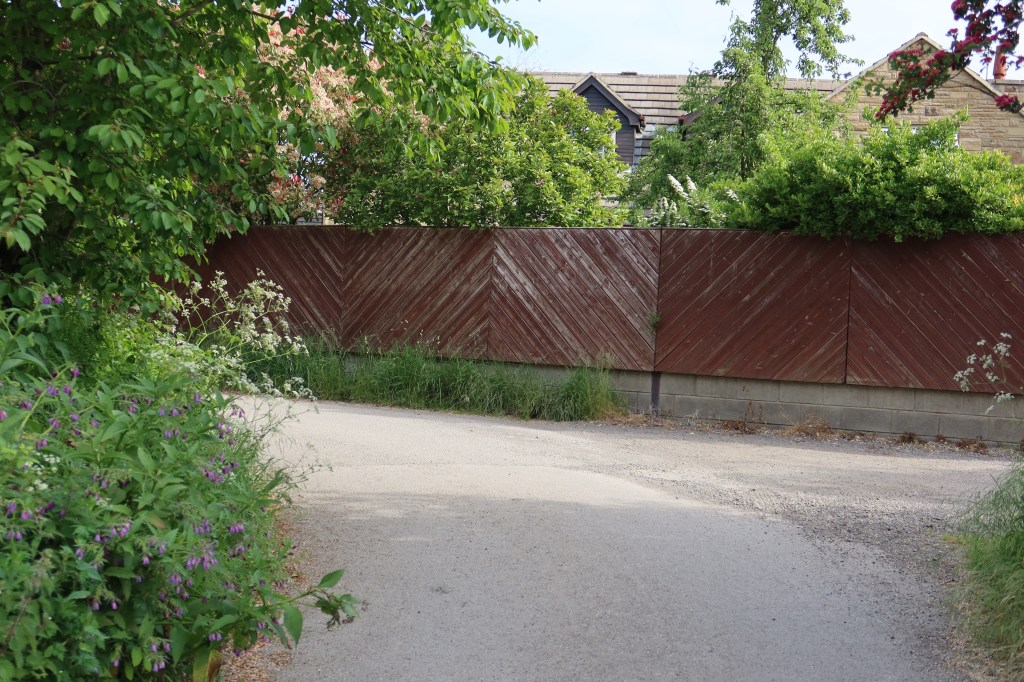
At the roundabouts, carry straight ahead, crossing as best you can using the traffic lights. After 15 minutes you will come to Clarence Park on your right and carry on the A636 Denby Dale Road until you reach a junction with the B6475. Keep on the A road, heading under a rail bridge, and stay on the main road. Be mindful now of a canal and river system soon emerging on your left. Just as you pass by Toby Carvery on your left, you will cross over the river. You need to be on the far side bank of the river to follow the footpath. In the picture below there is the section of road you need to cross to start on the trail.
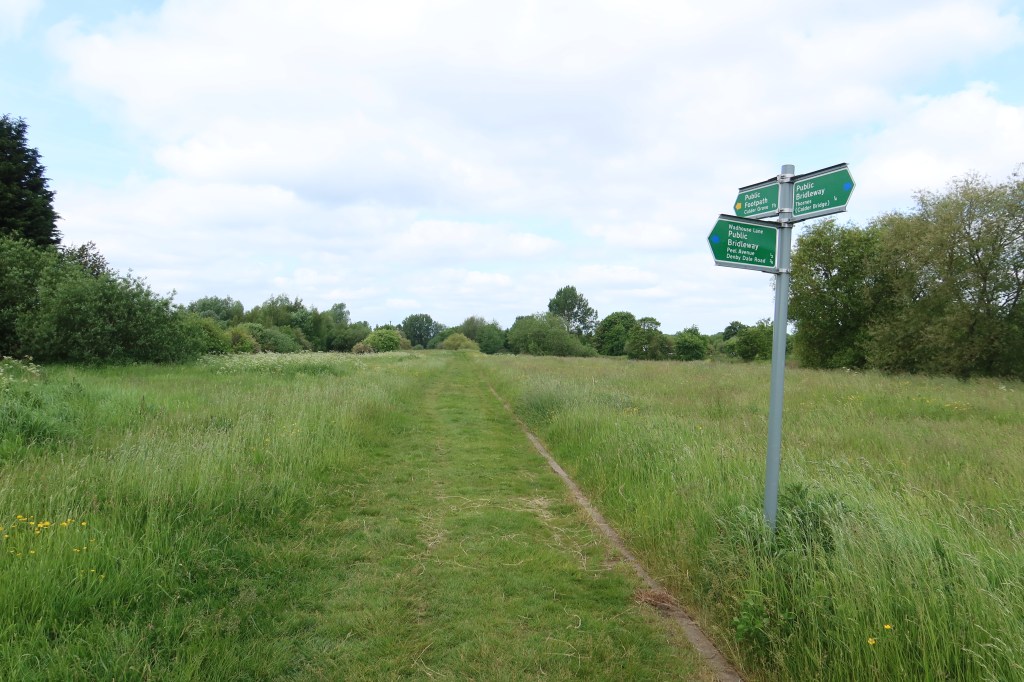
Cross over the busy road with care, and start on the trail. You will see the river shortly as you make some progress. After about five minutes you will come to a junction and a signpost. Follow straight ahead where the sign points to ‘Calder Grove’.
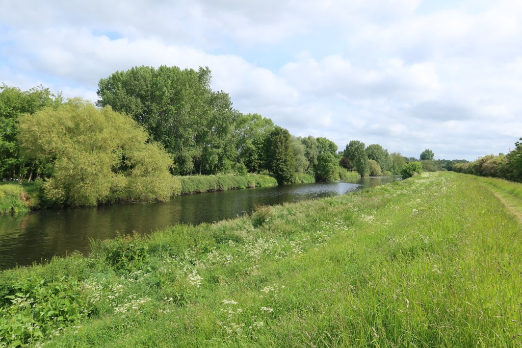
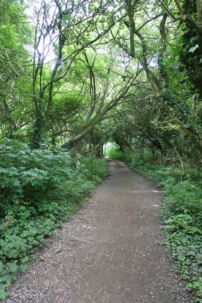
You will now start the river bank trail, a fantastic long grassy stretch of path that winds its way through woodland, under motorway bridges and across canalised parts of the river to arrive into south Horbury.
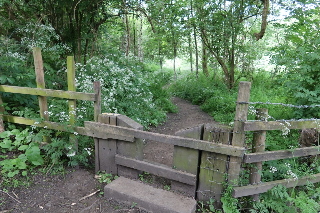
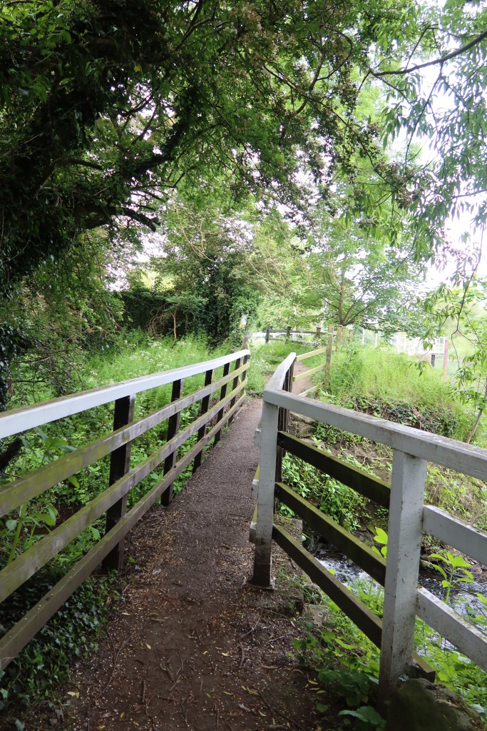
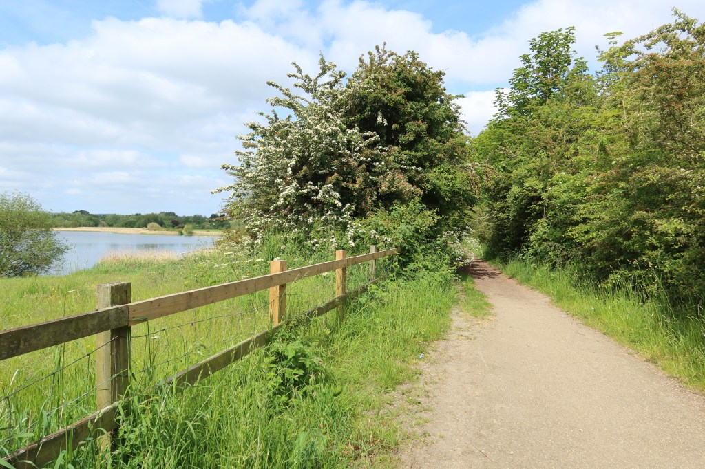
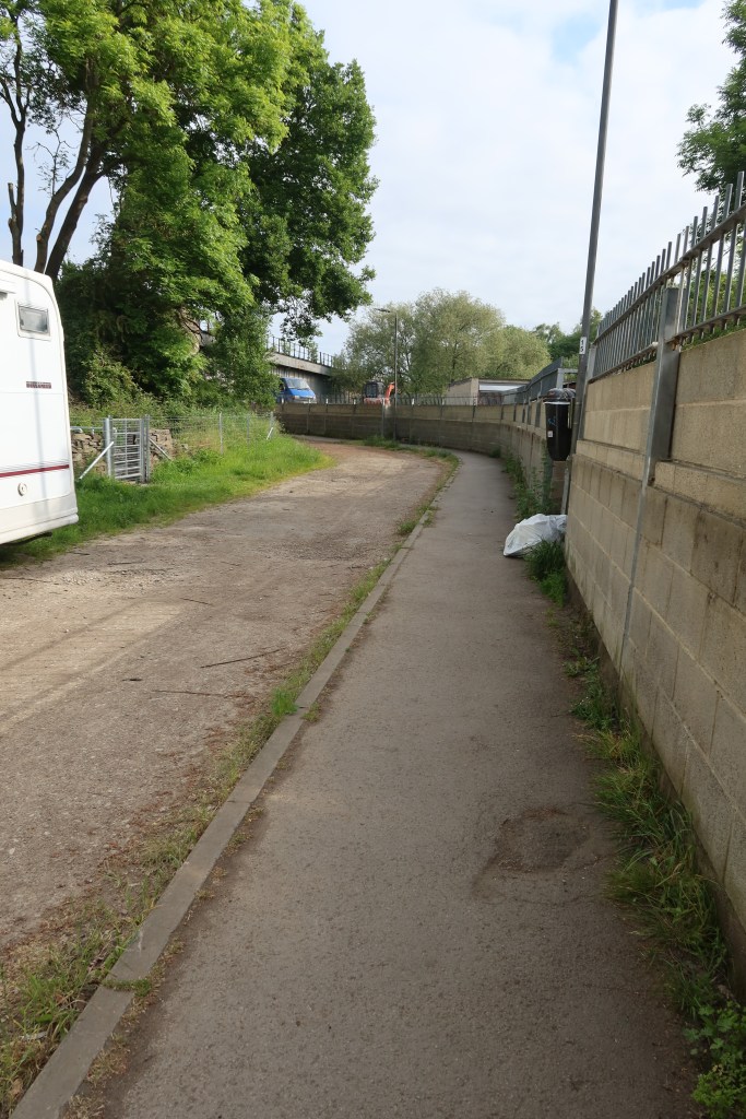
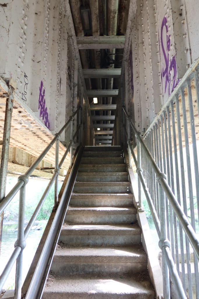
When you cross the footbridge towards the locks, you will arrive at a short stretch of tarmac road. The next bit is a little tricky, so there’s a photo guide below. Follow the road until it veers right, away from the canal towpath. It curves round to the left, to a T-junction. Turn right, towards an archway with a locked metal gate. At first sight it looks like you have taken a wrong turn, but over to the far right is a small set of metal steps which lead up to a strange little metal corridor over the train line. If you don’t like small spaces, this might not be much fun, and I would definitely not advise doing this part of the route after dark. You will emerge, turn left, and arrive at a pub called The Calder Vale on Millfield Road.
Follow the road, over the bridge, past the church on your right, and onto Daw Lane. Follow the road right, using the blue cycle signs to Horbury School as a guide. This will take you to the A642 at Northfield Lane. Cross the road, taking up the medieval sounding ‘Cluntergate’. The next section is great little route, with lots of heritage sites packed into about 1 kilometre. Follow Cluntergate to Walker Lane, which immediately leads you to a couple of bollards at the start of a very small track between some houses. Walk this trackway to the B6128, cross the road, and carry on straight onto another small passage way between houses again. This narrows, taking you eventually to New Street, by the Kings Arms pub.
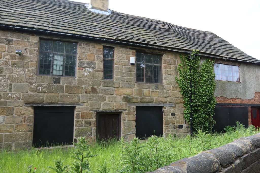
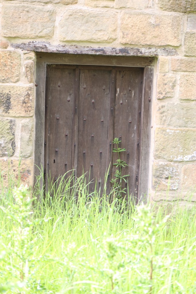
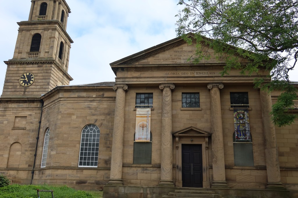
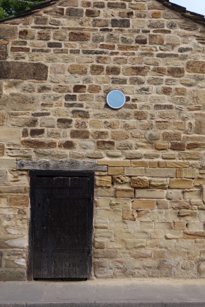
Turn left onto Church Street, and you will be surprised to stumble across a C16th house in a sad state of neglect and disrepair. The door looks like it is possibly original, or maybe C17th. This is Horbury Hall. A few paces further, and you will see St Peter’s and St Leonards Church, a remarkably large building for such a small town. It seems very much out of place. In front of the church, take Tithe Barn Street to see where the old stocks from the C17th are still visible.
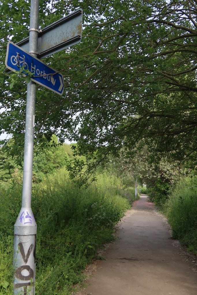
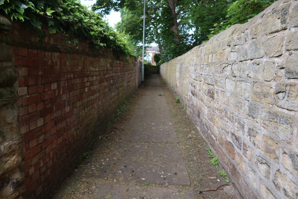
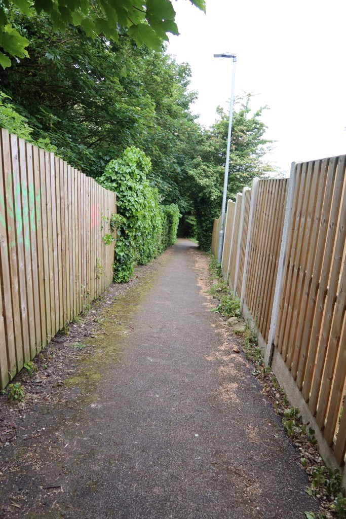
Follow Tithe Barn Street to Jenkin Road, and eventually a small snicket on your left which you can see in the photo below. This will lead you back to the main road, where you will turn right.
At some point soon, the road will cross over the canal and river. You need to be on the canal towpath, so keep an eye out for a minor road with traffic lights on your right. Take this small road, which soon turns into the towpath. You are now back on the Calder Hebble Navigation. It is a dead straight stretch of towpath, leading to the Figure of Three Locks and shortly afterwards a bridge. Use this to cross the canal and take up a dirt track, leading uphill, away from the towpath.You are now on the Kirklees Way.
Keep to the footpath, turning left at the first junction, then right, ignoring a public footpath sign through a farm on your right. The track veers to the right, uphill, and becomes a quiet road with a park on the left and tennis courts on the right. You will soon emerge onto the B6117 at Thornhill. Head right, downhill, passing a grand old building on your left. Continue on the road until you see Thornhill Lees Medical Centre in faded old red writing on your left. Cross over the road and take up the towpath again.
It is critical now to keep aware of how many bridges you pass under on this section as it is otherwise unsigned and easy to get lost. From the medical centre bridge, walk underneath one more bridge and then at the second, exit the towpath and head up to the road again. If you miss the second bridge, you will have a tricky time picking up the route again. On the road at the second bridge, cross over the road, turn left and follow the path round to the right past a large warehouse. You will find yourself on a straight road with houses either side and a large pavement where many cars are parked. Follow this road until it curves round to the right, at which point there is a public footpath marker on the left by a dusty track.
Follow the track as it climbs uphill, past a gravel works on your right. You will get a fairly good view of the landscape through the trees, with some churches in the distance. Keep to the path, and at the first junction, turn right, over the railway bridge, follow it around left, and carry straight on, ignoring small pathways on your right. This track becomes a well made tarmac road past a very fancy looking coffee stop near a large fishing lake. Carry on through or stop for refreshment, heading right at the next road. Follow the road as it crosses over the river using a traffic light system because of its narrowness. Then immediately after, cross the road and head left over a second bridge which crosses a canal. Take up the towpath again!
This is the final section of towpath of the walk. Follow this under a couple of bridges until you begin to see a road and a large metal fence on your right. When this is behind you, there are some steps leading off the towpath, take these, turn left, then almost immediately right, just past some old terrace houses. Go along the road through a tunnel, and through a metal gate at the end. You might hear an automatic voice warning you about ‘approaching vehicles on the right!’ but it is a very quiet road. Immediate turn right and follow this to the main road ahead, with a train station platform of Mirfield on your right.
