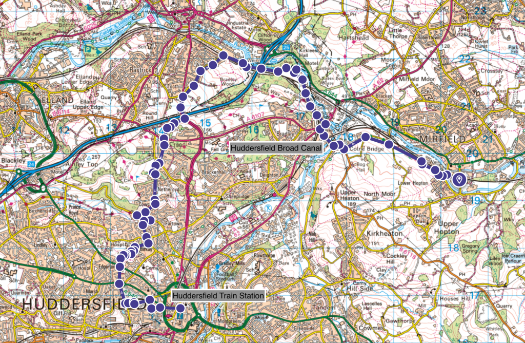
Heritage Highlights: Huddersfield Broad Canal (1776), Huddersfield Train Station (1850)
In this section, you take a significant change of direction: south-bound at Brighouse. It marks the start of a journey towards the highest part of West Yorkshire, still two sections of walk away. The first part is a fairly easy canal walk, while the second part is a devious line through fields and snickets to end up at the centre of the major northern town of Huddersfield.
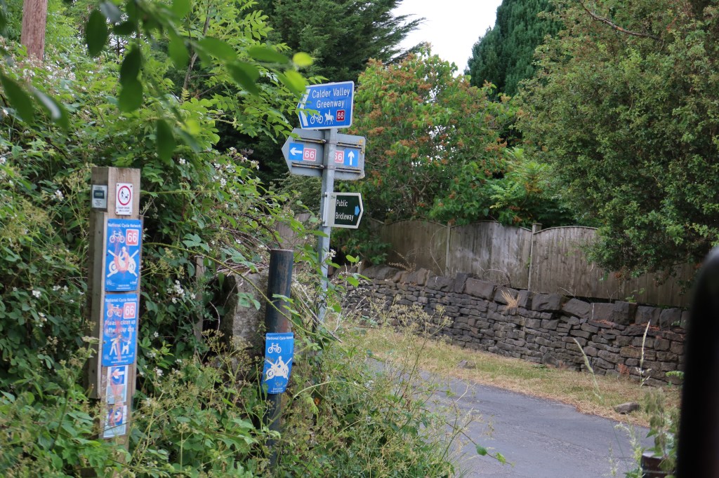
With Mirfield train station to your right and a main road straight ahead, cross over to the other side and keep going on Back Station Road. Follow this to a junction after passing a large mill complex and turn left, over the river. Take the first right, Calder Road, then follow it naturally to the left as it becomes Chadwick Lane. You will begin to see cycle lane signs at this point, with one pointing right, next to a primary school, onto Woodend Road. Continue on this, past the football ground, with the occasional dog leg turn, following a railway line for nearly two kilometres.
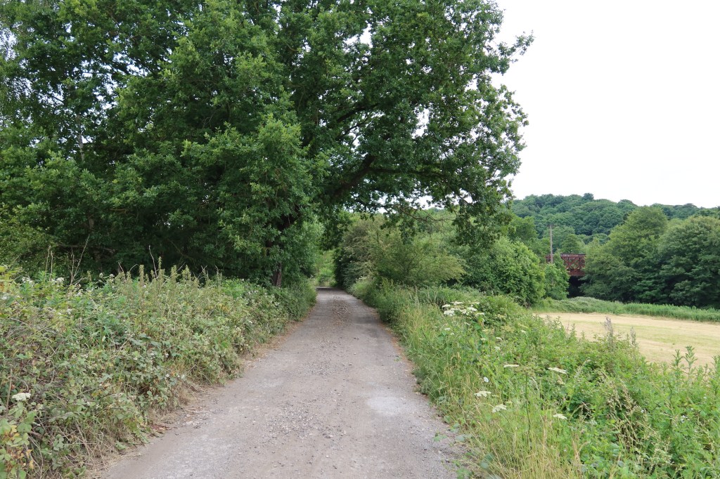
Soon this cycle lane joins a minor road called Helm Lane. Turn left at this junction and enjoy the quiet road as you head gently up and left. Just after the bend in the road there is a cycle lane and track leading into some woods on your right. Take this track and you will arrive at the B6118, Bog Green Lane.
This can be a very busy road so take care when crossing. At the other side of the road, turn right, downhill, and follow this until you reach a pub on your left at a junction. This is the only place you can see a pavement on the opposite side of the road but unfortunately it is a busy section, so wait for a good moment and then cross.Take the bridge over Huddersfield Broad Canal and continue past Mamas and Papas warehouse on your right, negotiating a roundabout, up to a series of crossings at a massive network of roads.
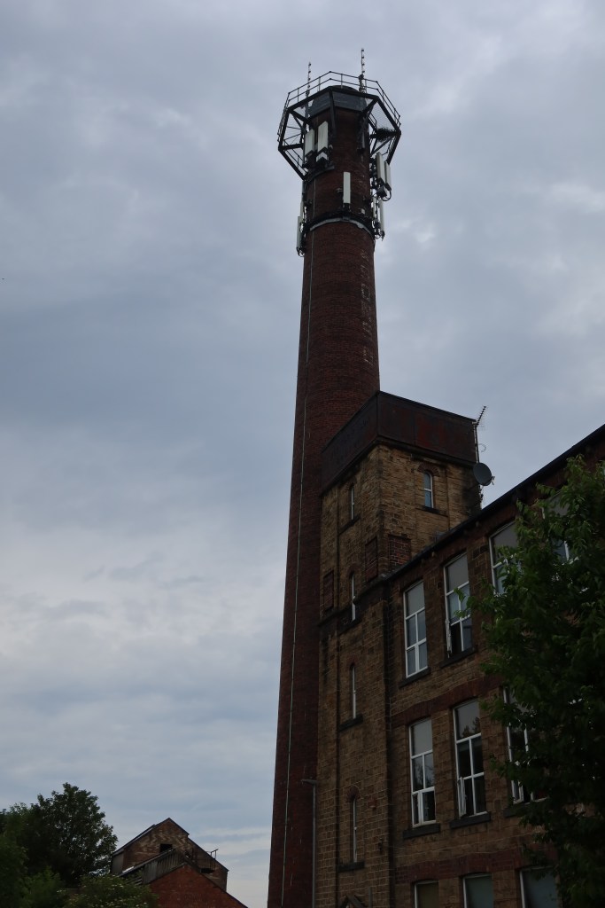
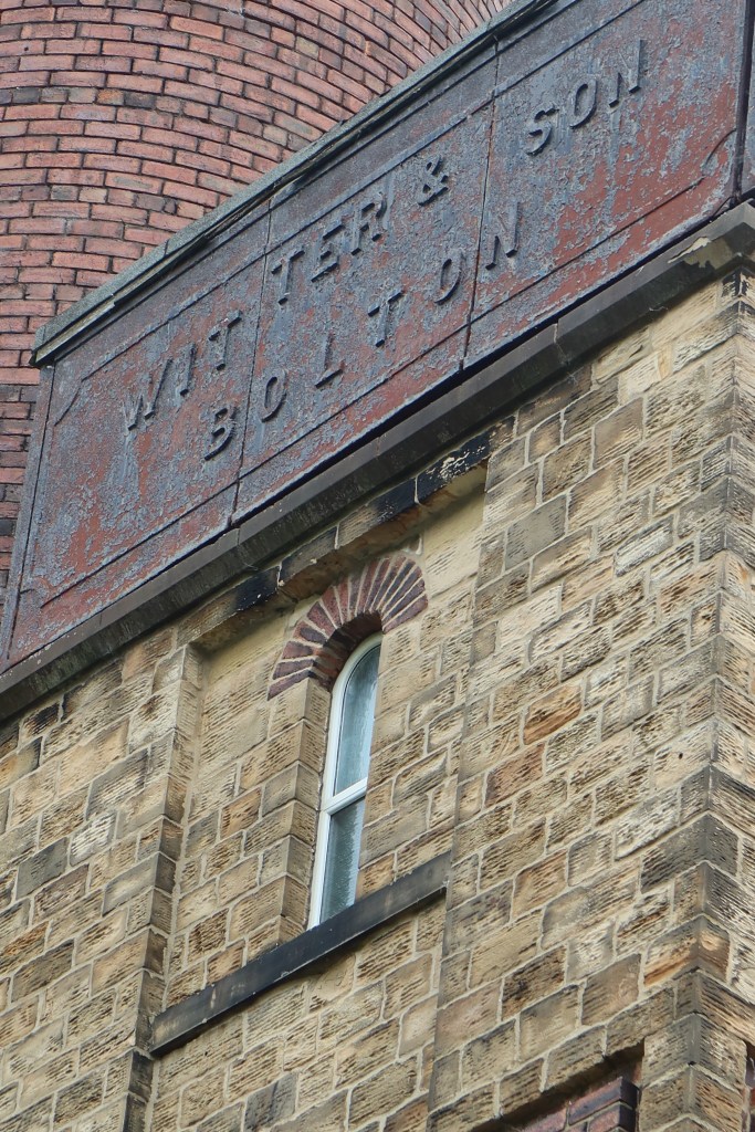
Ahead, you may see an old pub called The White Cross Inn. As you look at this, there is a petrol station down to the right, and between both of those, Lower Quarry Road. This is the road you need to take, so use the crossings however you wish to get there. Once established on this, walk ahead with the marvellous old mill buildings on your right.
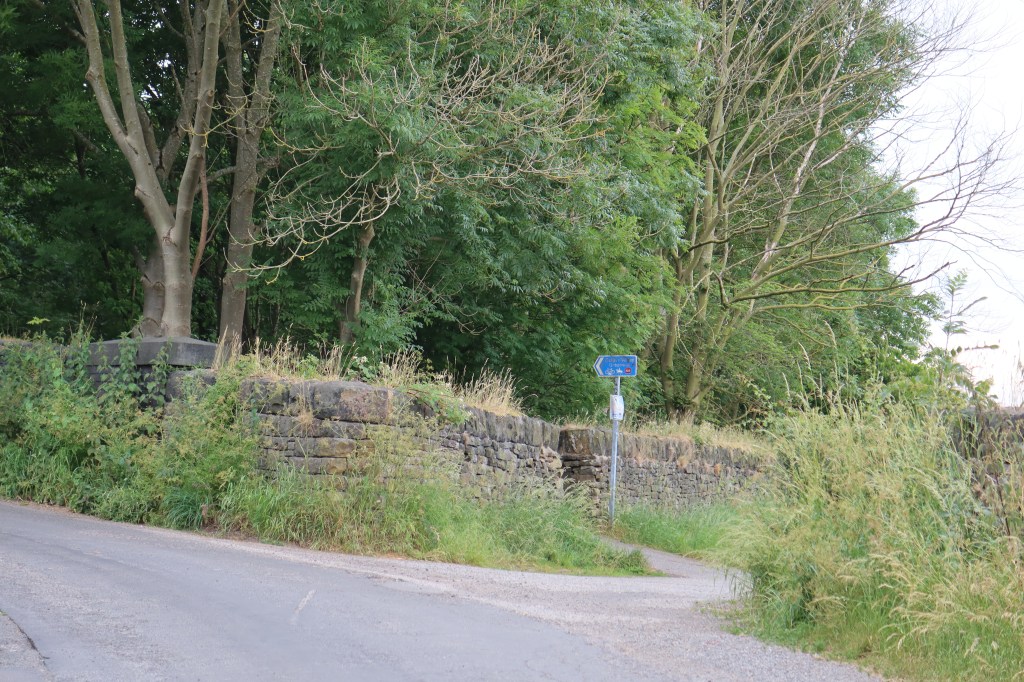
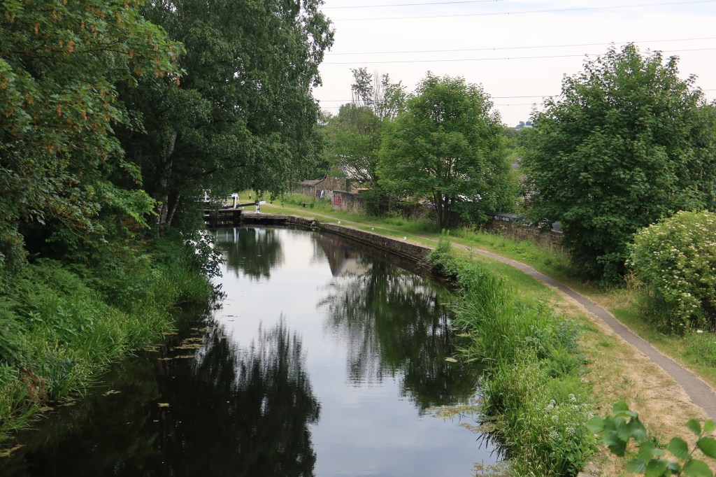
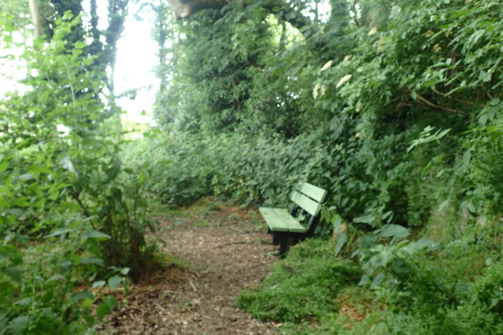
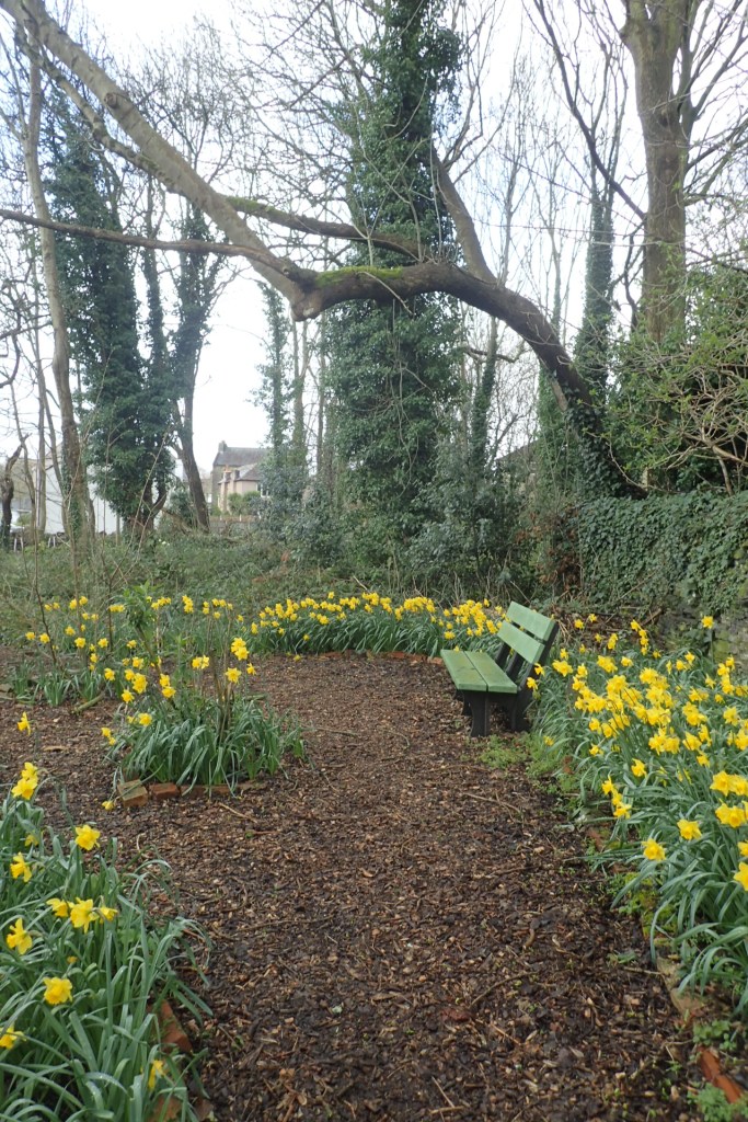
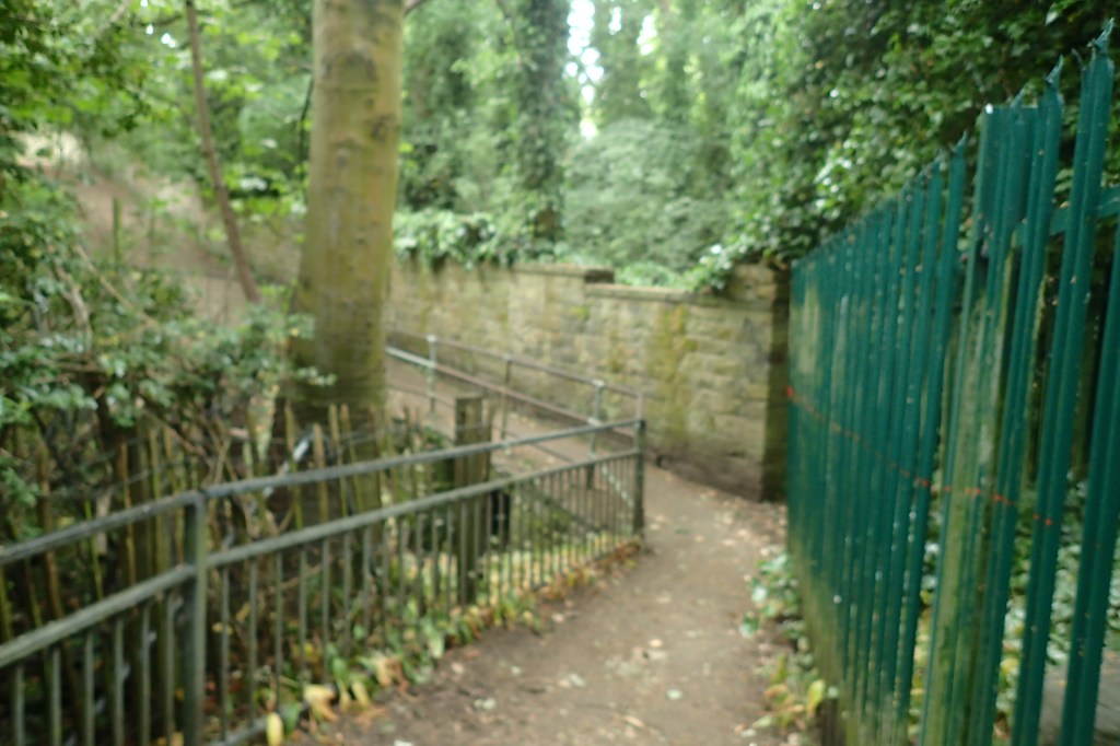
Further ahead, you will arrive at a cross roads of paths. One battered old sign points left uphill, and another takes you downhill to the right. Go downhill, cross the railway safely, and follow the track past a lovely house with large garden on your left. Turn right at the end and come to a canal bridge. Just before this bridge there are stone steps leading down to the towpath. Take these steps and head left at the bottom, now following the canal.
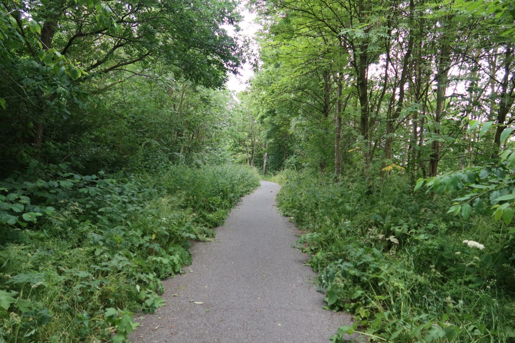
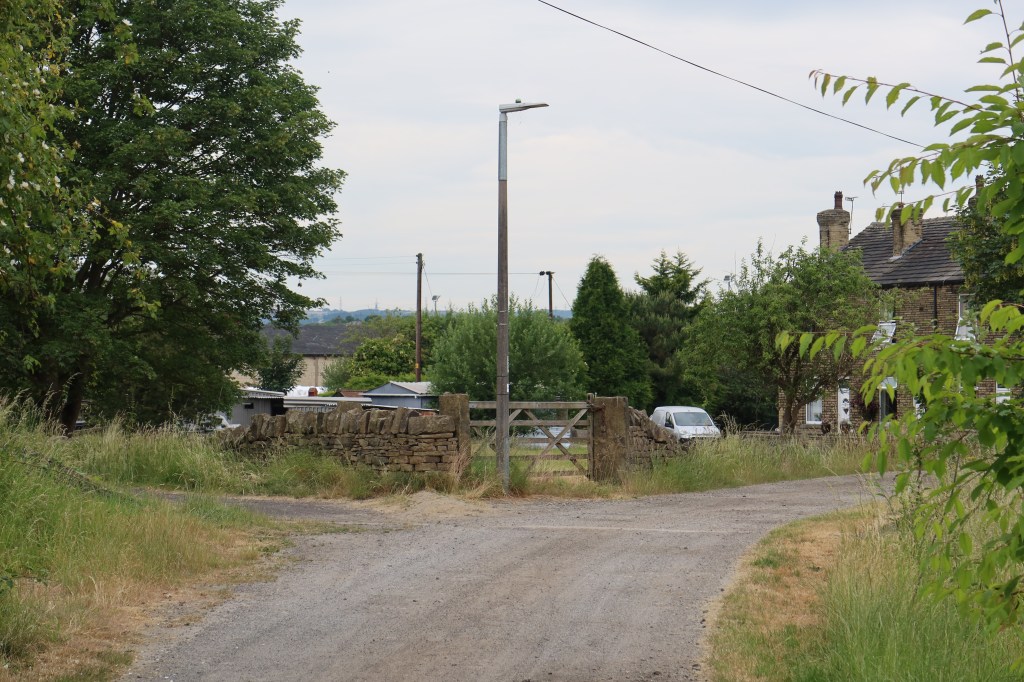
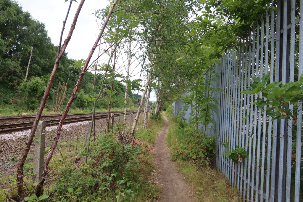
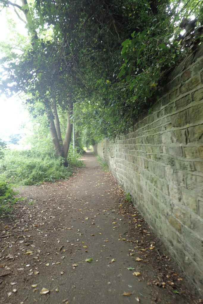
Keep on the canal and arrive at a couple of houses, with a public footpath sign a little further ahead on your left. Take this footpath, now leaving the canal side and following the railway tracks on your left. Keep following the tracks, turning right, to emerge on Birds Royd Lane. This is the town of Brighouse. It is well worth a walk straight on this road and into town if you can spare the time. A lot of the buildings are listed and maintain their former industrial architecture. However, the heritage trail at this point turns left, heading uphill.

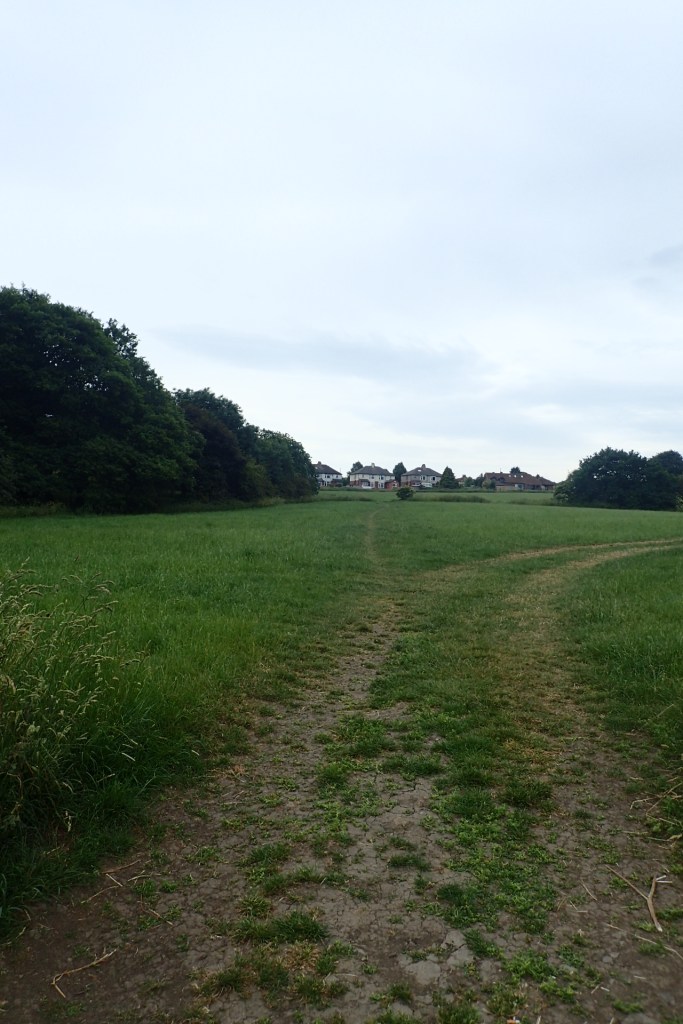
This is now Woodhouse Lane. Follow this up through a pleasant area of housing until it merges with Huddersfield Road, the A641. Cross the busy road with care, and on the other side turn left, so you can cross over the M62 beneath you. Just past the motorway, on your right, is a public footpath going sharply to the right, almost back the way you came. Take this footpath, and soon it curves to the left, following a line of electric pylons (most uncomfortable in wet weather with the buzz of electricity above you!) This becomes a well-kept cemetery with a track beginning to form on your right. Take this track and you will soon see an opportunity to head into fields on your right. Go into the fields and turn left, towards the housing ahead of you.

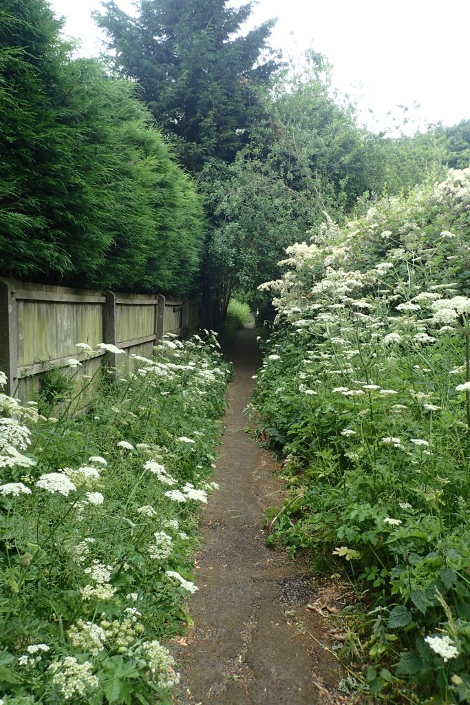
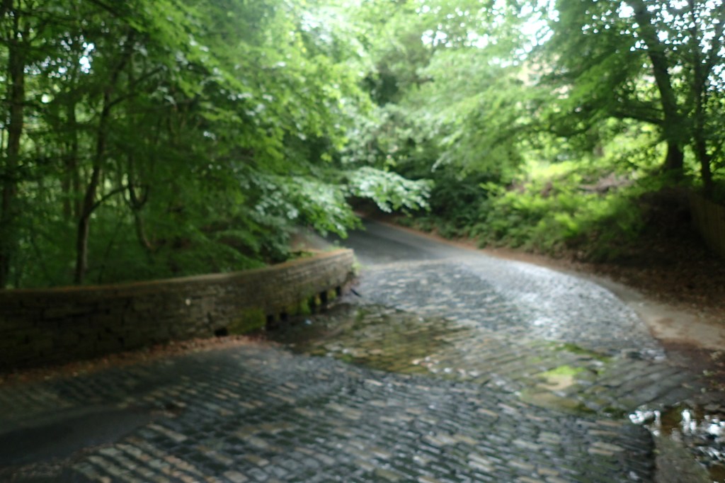
At the far side of the fields, in a corner, you will see a short snicket that brings you out onto Fixby Road, almost opposite a small shop called Nisa Local. Cross the road and take Broomfield Road, just next to the small shop. Follow this road until you arrive a T junction. Immediately in front of you there is a public footpath next to a house. Take this path, down some steps onto Cowcliffe Hill Road. Turn left at the bottom, following the road to a weir as it snakes through the wooded hillside. Follow the road steeply uphill until you arrive at Cowcliffe.
Continue on the main road and you will begin to see an impressive vista opening up in front of you of Huddersfield and the heart of Kirklees from a very prominent hilltop position. On a clear day you should be able to see Castle Hill on the left with its Victorian folly. Instead of heading downhill here, turn right, and follow South Cross Road. This takes you past a Methodist Church, and then steeply downhill to Halifax Old Road. At the bottom, turn left.

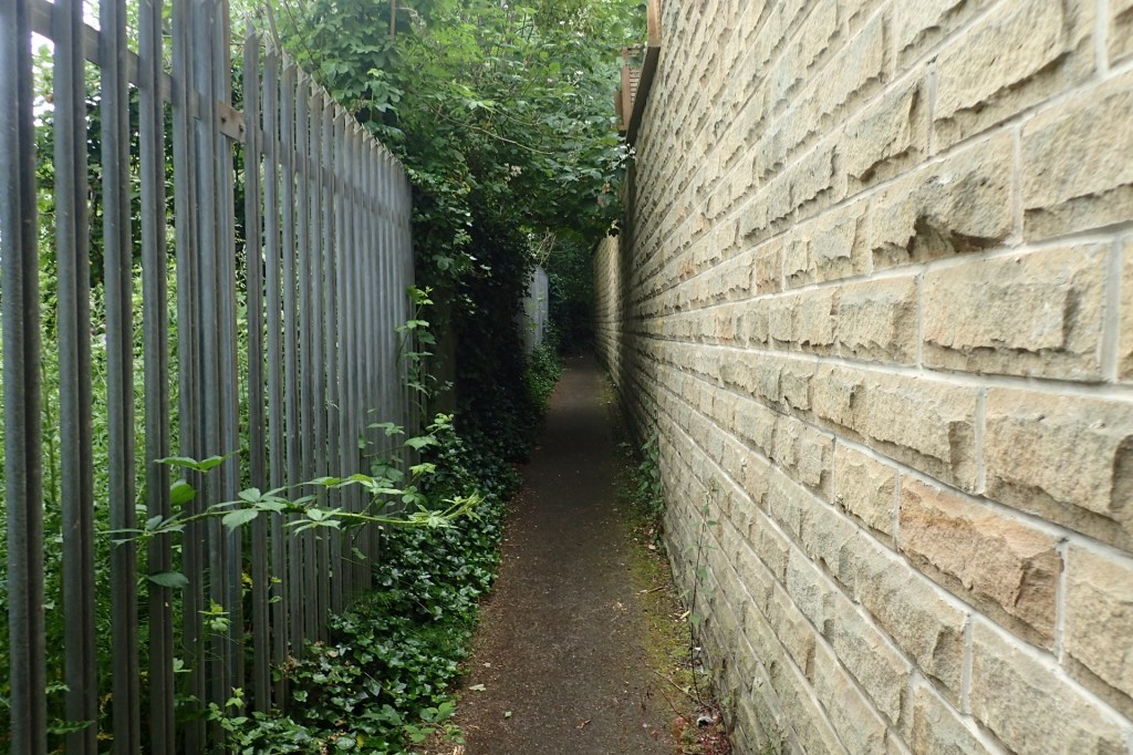
Walk along this old main road, with houses on both sides. At the first turning on your right, take Grimescar Avenue, once again heading uphill. Turn neither left, nor right, until you see the Vajrapani Centre on your left. Then turn right, onto Macauley Road. Keep on this road right to the end when the road becomes a small public footpath between two fences. This will curve to the left, past a small community garden project, and onto Birkby Lodge Road. Turn right, and then immediately left on Una Place, then right again on George Avenue.
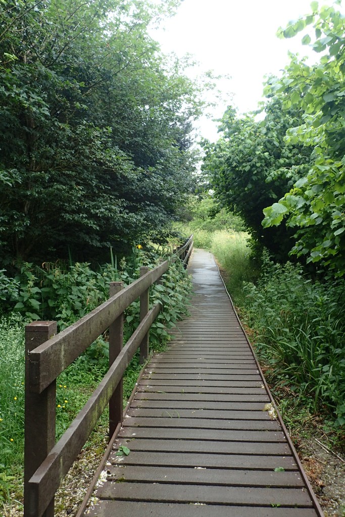
Heading right on George Avenue, you should see a Primary School straight ahead, St Patricks. Walk towards the school, right up to the gates, and you will then see a footpath on the left, following the school gates for a short distance. Take this, over a small beck, and uphill to Edgerton Road and some traffic lights. Cross here, and take up Luther Place, then Glebe Street, until you arrive at a very busy main road, the A640. Somehow (there’s not much of a crossing here), you need to be on the other side.
Once safely crossed, carry straight on, towards the tennis courts and Greenhead Park. Keep them on your left-hand side for now, walking until you see an entrance on Park Drive South. Head into Greenhead Park, towards the large monument on your right. This is the War Memorial.
From the War Memorial, head down the inviting looking main path, straight as an arrow, towards the park gates. At the gates, turn right on Park Avenue, then first left on Greenhead Road. Follow then the main road to a slip road from the Ring Road, cross this and head towards the main set of pedestrian controlled traffic lights to safely get over the Ring Road.
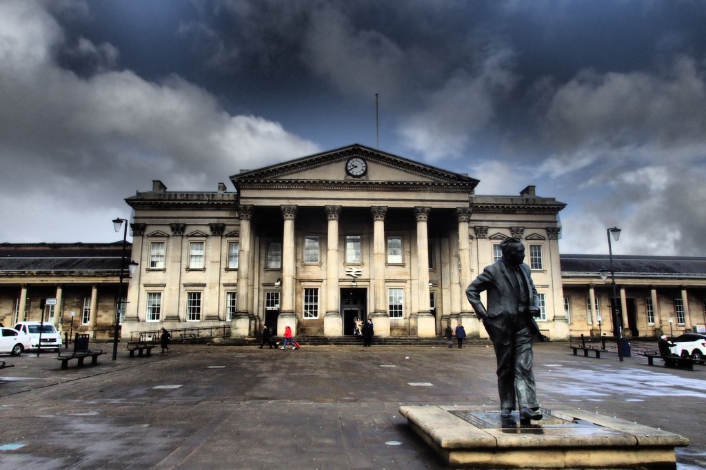
You now have an option of a slight detour. You can either head to the left, going downhill, to arrive at Huddersfield Train Station which is one of the finest pieces of Heritage Architecture on this trail. Or you can continue straight downhill to find yourself right in the heart of Huddersfield, where this section finishes.