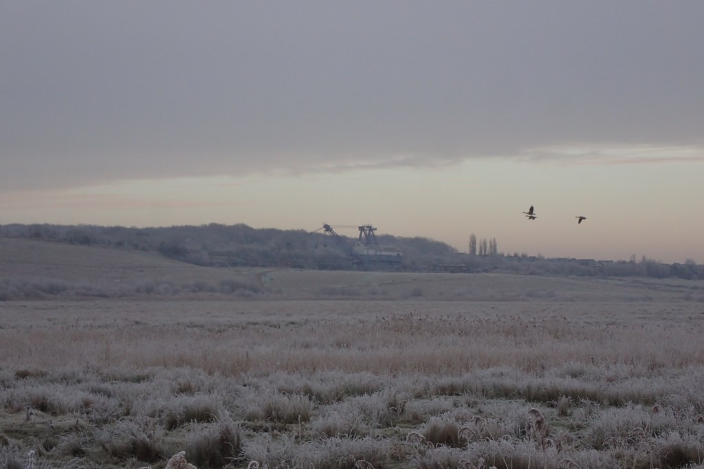
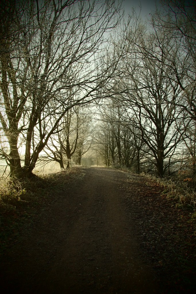
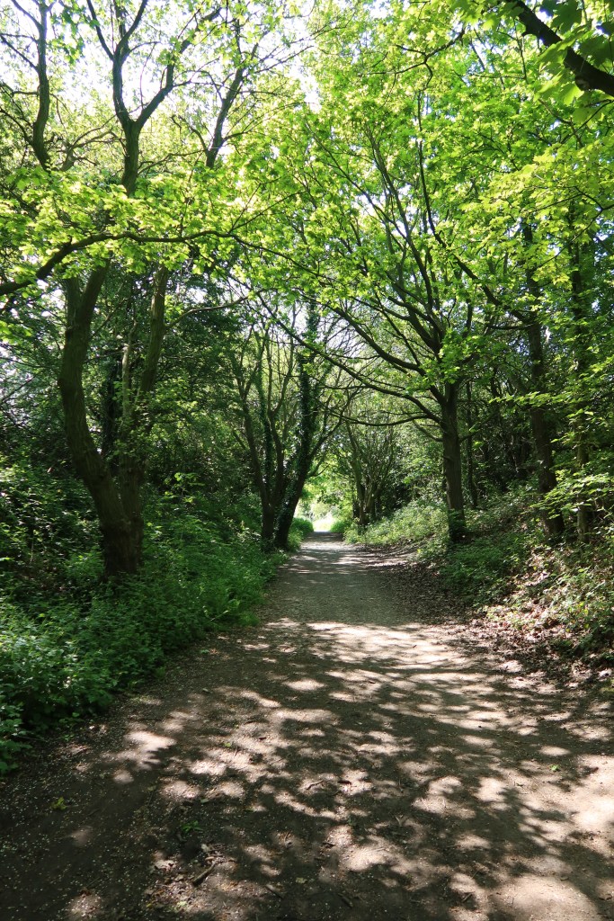
Winter above, summer below!

Heritage Highlights:
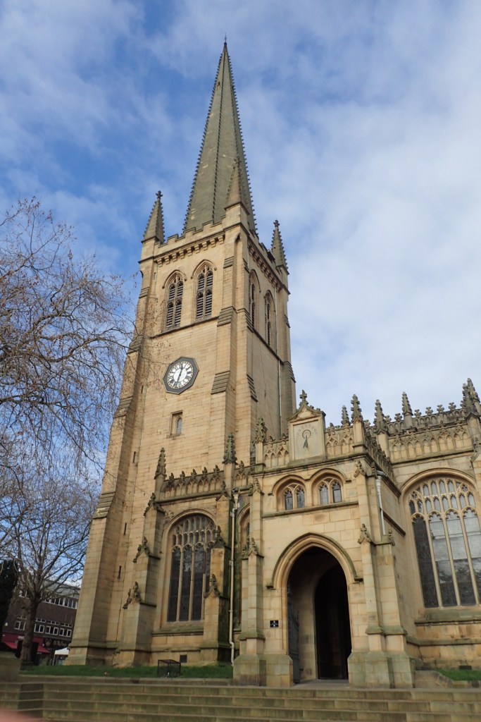
Wakefield Cathedral C10th, Aire Calder Navigation C18th, Leeds-Castleford- Pontefract Junction Railway C19th , St Aidan’s Nature Reserve C20th
During this stage, you will begin to enter the industrial landscape which helped shape the southern part of West Yorkshire. From the mining remains at St. Aidan’s, to the canal towpath which snakes its way to Brighouse as part of this trail, there is much in the landscape to form a picture of 17th and 18th century life. Not to mention the disused railway line that you walk on right out of Garforth.
Head down the Main Street in Garforth (B6137) lined with shops and bars. Follow this right down until the road begins to curve then head left again by a library onto Church Lane.
Follow this a short distance until you see a bus stop on your left by the corner of a large open cricket field. Immediately on the opposite side of the road you will see a small snicket sandwiched in between some houses. Proceed through this tight walkway and emerge on Lindsay Road by Springfield Care Home. Go forward just a few steps and then right again, ending up on a small dirt track lined by hedges. You’ll pass Garforth Academy playing fields on your right as you walk along.
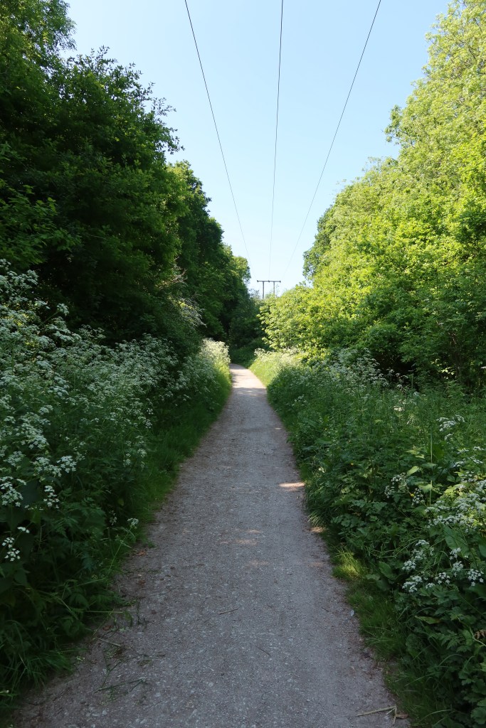
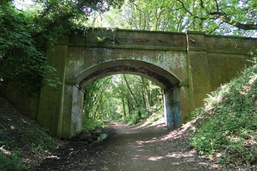
This comes out very near to the A63, which you need to go underneath and onto the start of a disused railway line, now a cycle route called the 697. This goes on for quite some distance, so time to enjoy the peace and calm of the local countryside while passing by the small town of Kippax on your left as you head south. Very soon you will reach a signboard on your left outlining the wildlife at Townclose Wood Nature Reserve and then to a road bridge that crosses the old rail line. You need to take the steps up to this road and head right, over the pathway, and up to a T junction at Great Preston.
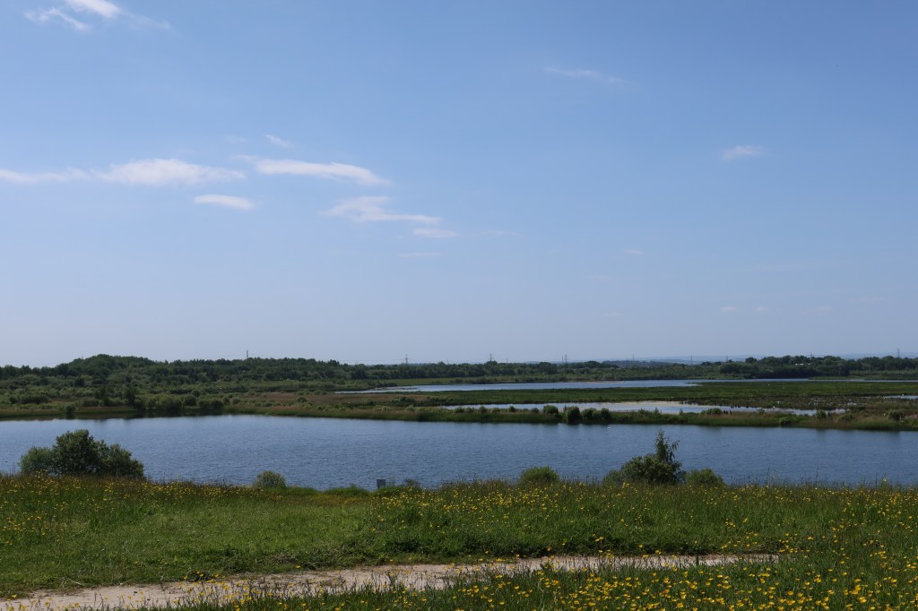
Head right at the junction, and then first left on to Whitehouse Crescent. Follow this a short distance and then fork left on to Whitehouse Avenue, then take the signposted public footpath to your left. Take this pleasant track for a few hundred yards before gaining the wonderfully named Fleakingley Bridge, cross the road, and resume the Leeds Country Way as it weaves through a farm, thankfully protected on both sides by strong fences. You soon arrive at the start of St. Aidan’s Nature Reserve, a site of national importance for birdwatching.


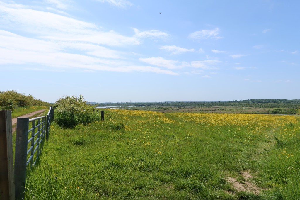
Turn left, and follow the track as it snakes it’s way to the right at the edge of the hill. Keep following and you will soon begin to climb up a little, before being greeted by what is arguably the finest view in ‘south-east west Yorkshire’. You can see for miles from the brow of this hill, and if you are lucky will be treated to a show of rare birds as they arrive from all kinds of exotic parts of the world.
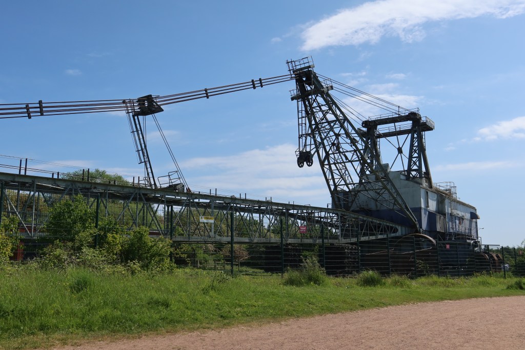
Continue on down the track, if you can peel your eyes from the view that is, and come to a crossroads. Head left to find an old Coal Board quarrying machine and a fantastic RSPB cafe, well worth a quick stop. Or, you can follow the trail and carry straight on, right through the heart of the reserve.
If you have a camera, take a moment to pause and you may get a lucky shot. You will eventually come to a large footbridge if you keep going straight, then an exit up slightly to the left though a narrow metal stile. Turn right and find yourself in a perfect coffee stop, an ideal place for refreshments and a breather.
Carry on, following the minor road to a train track crossing. Once over this, take your first left onto a main road, and past an art and crafts community centre called Rivers Meet. Continue to follow the main road, pass Church Lane on your left, and then take the next minor road on your right – Park Lane. This will take you to a T junction by an old, disused pub, the Mexboro Arms. Turn left by the pub, and come to a track heading to the right, towards a river. Passing under a set of pylon lines, take the first right, before you get to the river, and set off on this cycle route straight towards the motorway.
Pass under the motorway and make for the curiously named village of Bottom Boat, near Stanley. Soon you will arrive in a snicket at the rear of some terrace houses with garden sheds lining the side of the track. Then a road, turn right and up to the pelican crossing. Over the road, turn left and continue until you spot a church on your left called Zion Christian Centre. Very near this, on your right, you will come to a path heading diagonally up to your right. It is signposted but easy to miss. Head up this narrow pathway and continue on it until you can go no further. You should emerge at the intersection of three roads. Take Lake Lock Road, then Lime Pit Lane, to their inevitable conclusion at the A642.
Not far to Wakefield now. Cross the A642 at the lights and then head straight onto the Trans Pennine Trail cycle route. This meets the canal after a short distance via a pub/restaurant called Stanley Ferry. Keep following the towpath southbound until you see signs for the Trans Pennine Trail leaving the canal. Follow these signs to the A6194, and then shortly after a right turn leading onto Park Lodge Lane. Carry on past Outwood Academy as the road snakes through a large housing area, past a small church on your left until you meet the A61. By now you will definitely be able to see the large spire of Wakefield Cathedral in front of you. Keep aiming for this landmark, crossing the roads until you arrive in the city centre.