
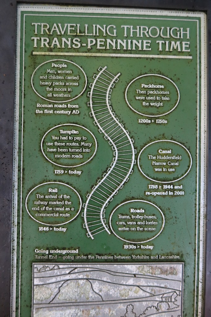
This is the longest section of the entire trail, and requires a full day from start to finish. But what a section! You will spend most of the route on high Pennine terrain, with incredible views all around, particularly to the west with Manchester City on the skyline. You can usually see skyscrapers glinting in the distance, giving a strange contrast to the ancient moors. You start with modern industrial canal engineering at Standedge, walk on the contemporary Pennine Way, arrive at the medieval Aiggin Stone and roam the Roman road heading to Manchester, though only for a short section. Lastly, it’s also the only section on the Heritage Trail where you are sometimes in Lancashire, sometimes in West Yorkshire. Although you would not know it by hiking here, this border is at the heart of the division of two historic houses – York and Lancaster. The division is better known as The Wars of the Roses.
Start this section at the train station in Marsden. Take the canal towpath, heading west, towards Standedge Tunnel. Follow this as it snakes its way round to a low bridge, becoming narrow in places. Soon you will arrive at an old barge shed and visitor centre. Both are busy on a weekend. As you cross over the canal, you have the option of either exploring the centre and learning more about the Tunnel under Pule Hill, or you can head right and carry on.
Follow the road and then take your first left, keeping straight and flat for around 1km. There is a roadside path option through the woodland to your left if you prefer. You will come to some houses on your right, then left, and pass by a blue plague giving detail of a generator and its engineer.
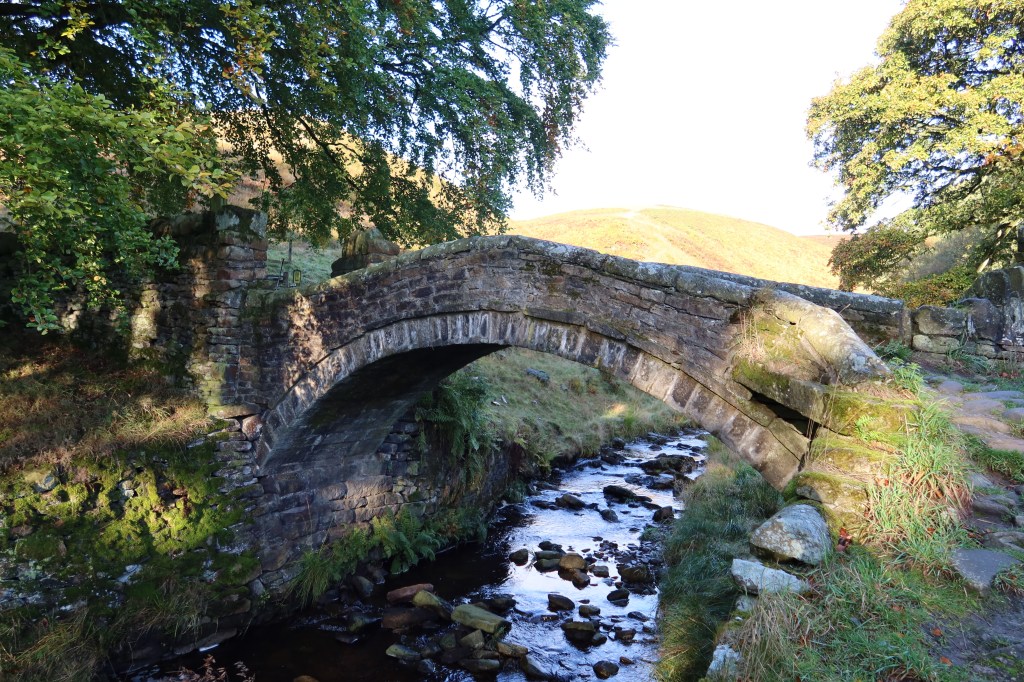
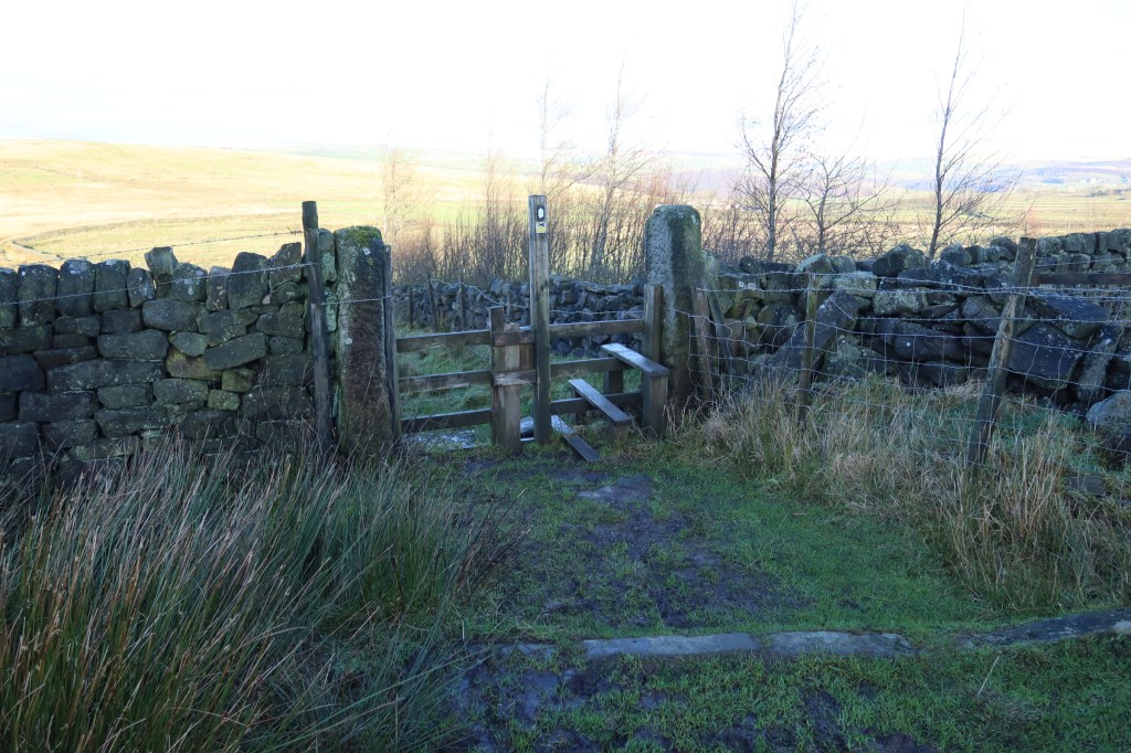
Shortly after this, take a public footpath through a small gate on your left, and this will quickly lead you to a packhorse bridge in the photo at the top of this page. Once over the bridge, keep right and follow the path over a small stream (challenging crossing in wet conditions) and up the hillside. Following this path will lead you once again to the Pennine Way which, if you are walking this trail clockwise, you last saw near Blakeley Reservoir.
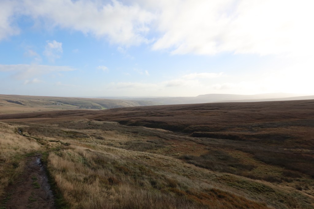
Cross the A640, and carry on the Pennine Way as it heads towards White Hill. One a good clear day you can see west across the countryside to the towering skyscrapers of Manchester.

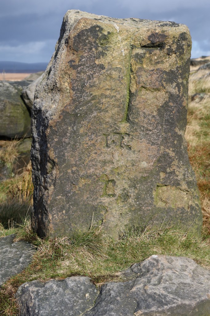
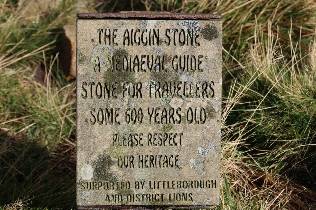
Keep on the Pennine Way for some distance now, crossing the busy A672 and shortly afterwards right over the M62 on a huge bridge. On the other side of the motorway, you have a choice to go either left or right – head left, uphill, and arrive at Blackstone Edge. Admire the view (this is a great spot for a picnic) and continue on towards two superb pieces of heritage. The first is the Aiggin Stone, and the second is a section of Roman road.

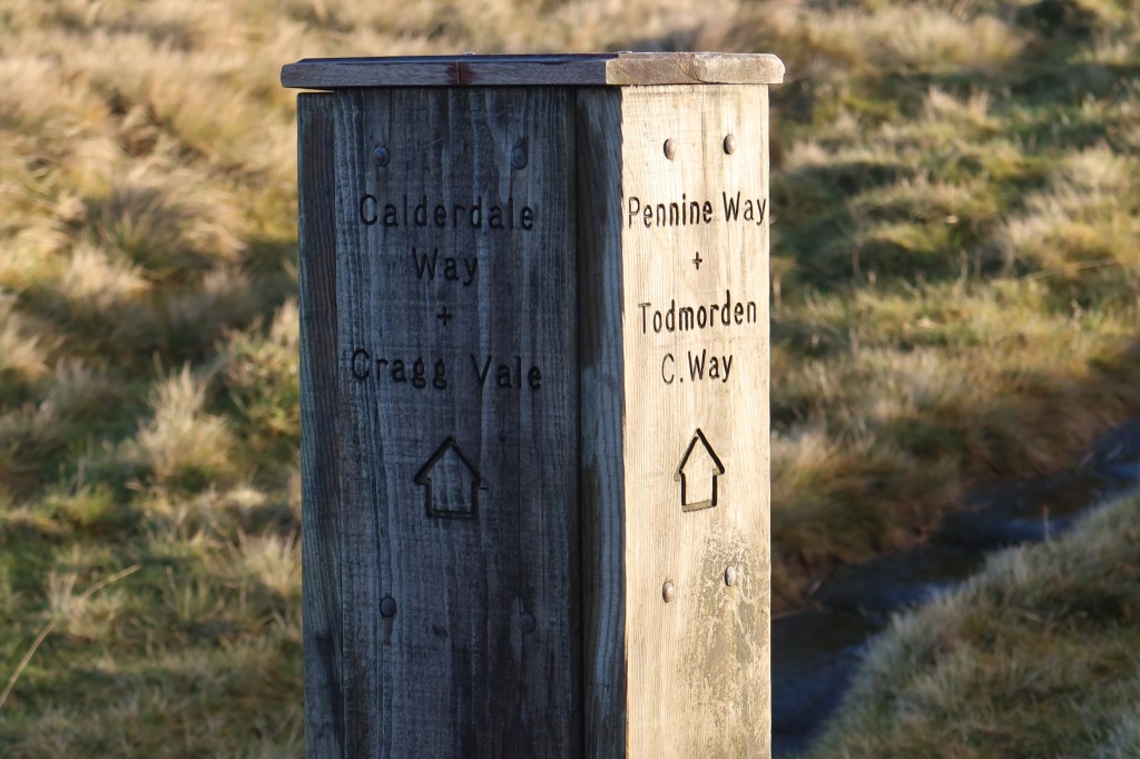
Two hundred meters down the Roman road you will find a pathway heading right. This is a combination path of The Pennine Way and The Rochdale Way. Follow it for a short while to another road – the A58. Cross over, and head up to The White House, and another footpath just to its right.
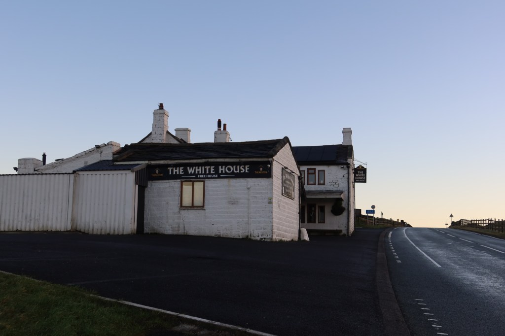
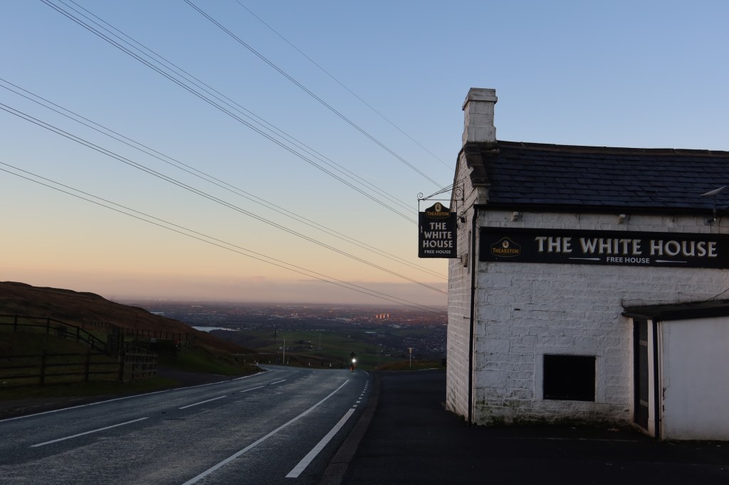
The White House marks a good place to stop and have some refreshments. It’s also a good place to make a decision to carry on with the rest of the trail to Hebden Bridge or maybe leave it for another time. There are few other exit points from here on.
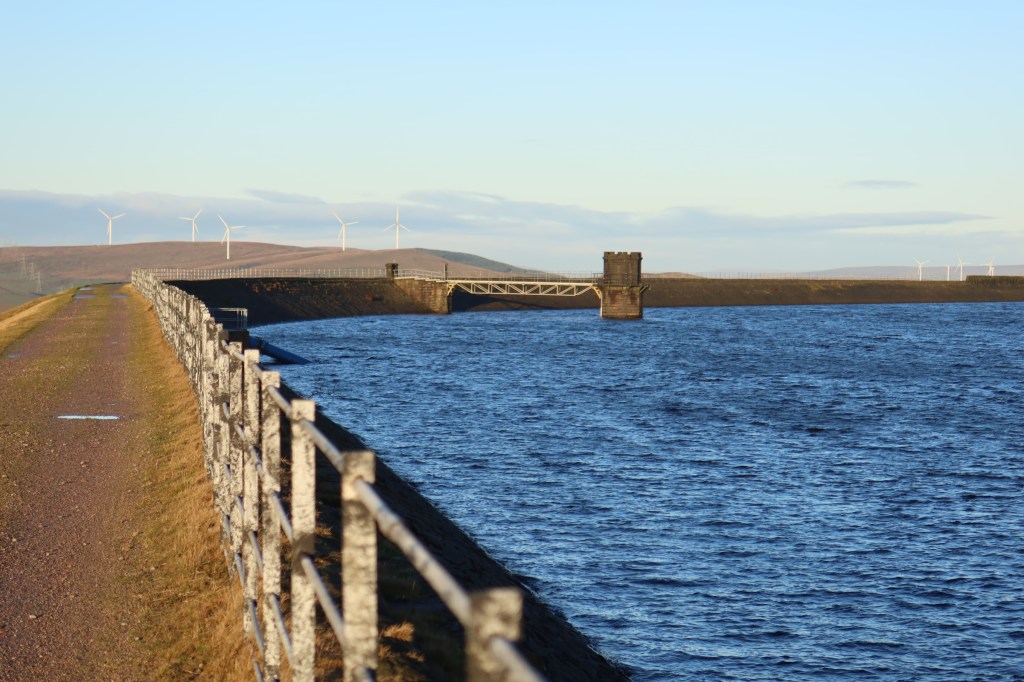
Carry on up the road, with the pub on your left, to arrive at a public footpath which follows the reservoir. The next sections are all on the edges of a system that pumps water to Manchester, among other places.
Until the ‘turbary stone’, navigation is really quite simple for now. Follow the trail, and if it tempts you to head right at a junction, resist it, and keep on going straight ahead. There is one junction by a metal pylon for example, but just keep on heading NNW.
As you walk along, you might notice lots of man-made features in the landscape. A small humpback bridge on your right (for transporting rock over maybe?), quarried remains of rock, platforms and shafts. These are from the time of the reservoir system, and there are some chiselled rocks that sort of look a bit like belay pins but there is no wear on them. They remain, for me, one of the many curious things about the moor tops and our industrial heritage.


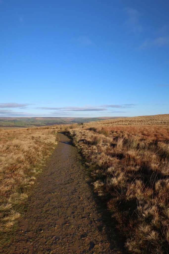
You will then arrive at the start of what seems to be the longest reservoir path in the entire world (it isn’t). It’s a bit potholed and you’ll end up weaving around the many puddles that gather after rain.
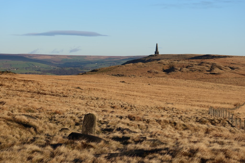
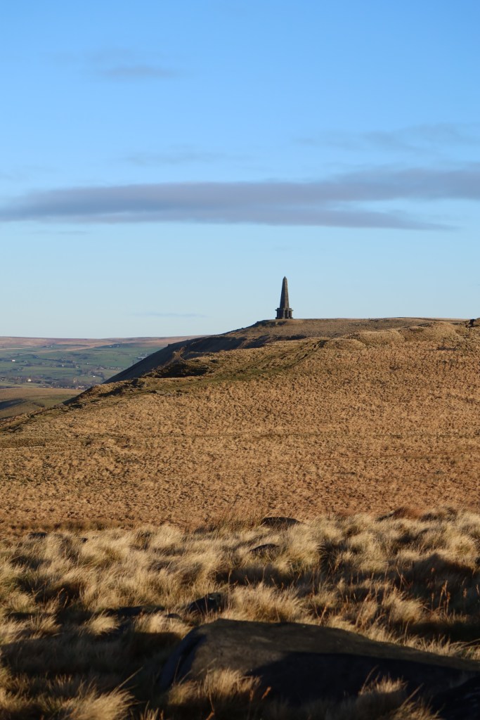
At the end you will have the option to head downhill, or keep going straight. Keep on, and stay on the flagged path as it rises slowly onto higher moorland. You will also now be able to see Stoodley Pike in the distance, a great dark stone monolith which broods over the Upper Calder Valley.
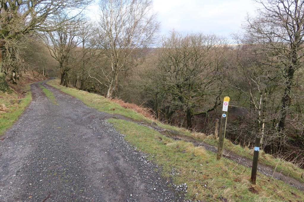
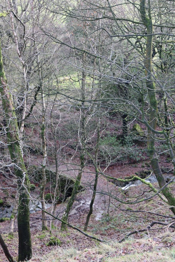
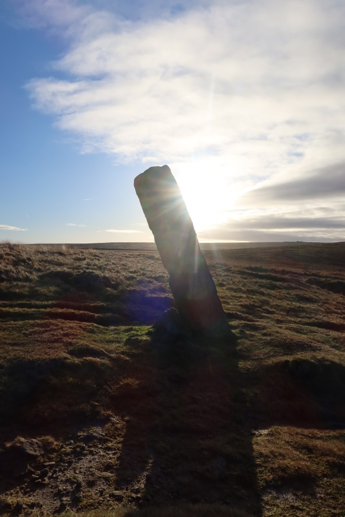
You will notice a signpost at one point, with a marker to head right. If you went this way, you would actually do a huge circular and end up near the White House again. So, carry on the Pennine Way instead. Not too far from here, you will begin to see a distinctive looking stone marker, shown in the photo below.
And then if we ‘zoom out’ to see this in more context, you might recognise this on the ground if you are reading this and walking:
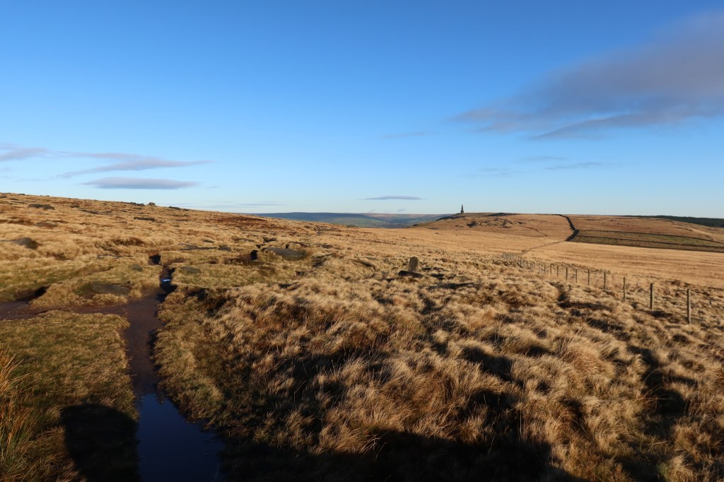
Just to the left of the stone marker, more or less in the centre of the shot, you will literally stumble into a superb piece of early modern heritage, a ‘turbary’ stone. Curious?
According to Mary Ann Ochota in her brilliant book, ‘Hidden Histories’, this stone indicates a boundary for someone’s peat-digging area in the C17th and C18th. The inscription on the stone has been sabotaged at one point; half remains very clear, and half not so much.

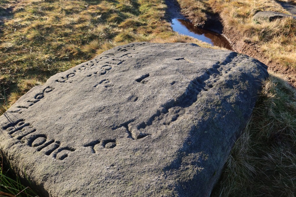
I also wonder if the fence, very close to the stone, is a modern effort to mark out the same lands that may still be in the same family?
An important point to note here regarding direction of travel. Make your way towards the moor edge, where it gets a bit craggier and the views are at their best. If you were to keep to the trail near the fence line you will find that it gets very boggy very quickly.
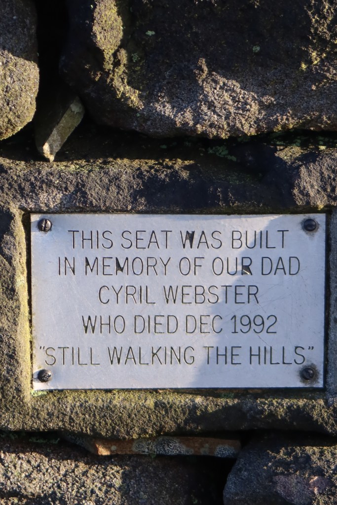
Shortly after heading to the left, you will also come across ‘Cyril’s Bench – a dry stone wall monument made in memory of a walker called Cyril, who passed away in the early nineties. It’s a great place to sit and have some lunch, with a good view of the Crimean War monument on the horizon.
Keep on down, using the path, before it begins to climb back up again, through an old quarry system. This is probably where some of the stone came from to build the monument. You will pass a severely off-vertical ‘standing’ stone way marker, propped up by a smaller stone beneath. You are also now on the Todmorden Centenary Way.

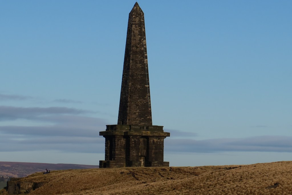
Not long now until your reach Stoodley Pike. What you see is not the original monument, but a later rebuild after the first was burned down after a lightning strike. Although it makes for a well-known landmark on a hike, I am very surprised at how popular it is to gather and eat lunch there etc. It all feels very oppressive and I rarely linger there for long – I prefer to just get on with the walk.
Follow the Pennine Way as it curves around to the right of this monument, and down to a gate. Shortly after the gate, head left by a signpost, in the picture below.
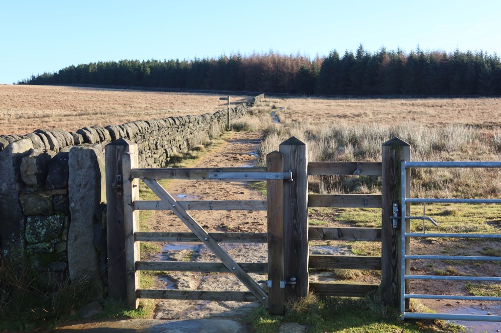

This heads down and to the right on a well made track, at the end of which you arrive at another crossroads. Keep straight on, walk by the dry stone wall on your right, over a stile, and down a muddy track aiming fro a second stile on your right at the bottom. Again, follow signs for the Pennine Way.
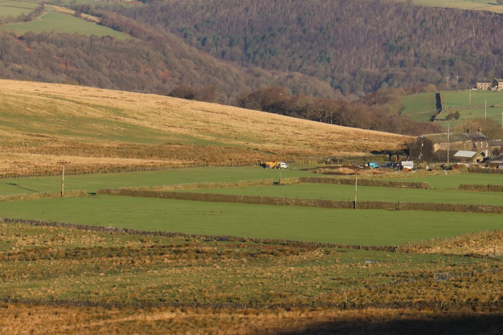
If you have a day of good weather, you might see the landscape as in the pictures below, which show your route from a distance.

This is the third farm on the entire trail, and I have included it because it is a very safe passage due to the Pennine Way (landowners have a lot of regulations to follow where a National Trail is concerned). It also massively simplifies an otherwise very complex descent down into Hebden Bridge where, after a huge day on the trail if you’ve managed it in one go from Marsden, you really want to just get some rest by this point.
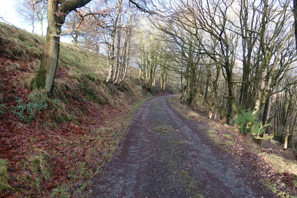
Follow the road downhill, as it curves to the left. It will look like the photo below.
But caution is needed here, right at the end of a long day – the Heritage Trail does not follow the Pennine Way down into the valley all the way. Instead, it turns off to the right, over a stream, and then follows a track at the top of some woodland down into Hebden Bridge directly. Turn off point in the photo below: