28th August 2023
For the first time, when planning this one, I actually had some doubts that I could complete the route and fulfil all of the aims/objectives I had set out for myself. This was because the route length is 25k, which would take a long time in itself, plus the aims that would add an extra hour or even two, and then the journey time there and back. I set off at 5.45am, and arrived at 7.15 which amazed me (and I don’t drive very fast!) For exclusive content of this and other routes, check out my YouTube channel ‘Lead for a Living’ and my Instagram account lead_for_a_living.
Just recently I have started to take a written list of aims with me to make sure I log a proper quality day towards the qualifications. It can be surprisingly easy to just go for a walk and then realise afterwards that apart from some navigation, nothing was learned or observed! This sort of thing might make a basic logbook but it does not help to get a sense of what the outdoor ‘office’ is all about. Having something written can be pretty useful as a solution. I use Rite in the Rain notebooks as they are an all-weather solution.
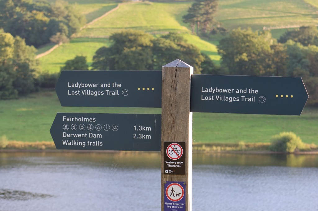
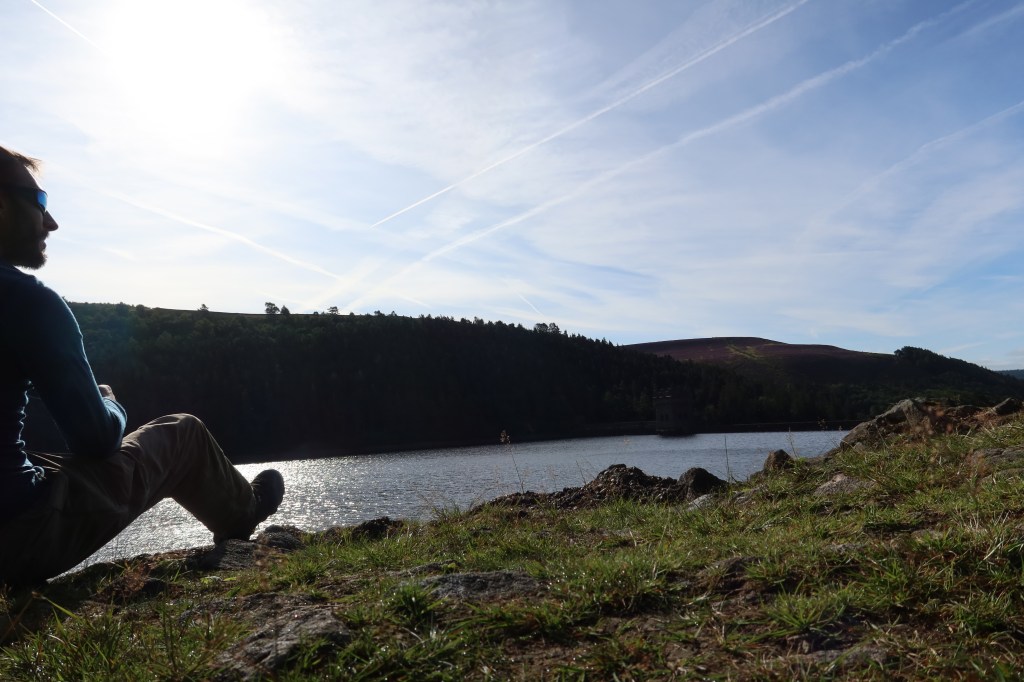
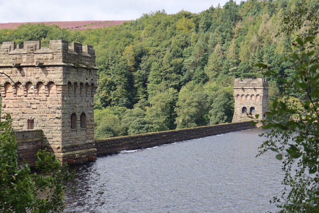
My aims for this one: estimating distance in the terrain then measuring on the map; identify one flower and one bird; take pictures of surface rocks; take a variety of pictures across two cameras; photos of Derwent Dam and finally, perhaps surprisingly, take some time to just enjoy being there. As in, sit down and just enjoy it.
So how did I do?
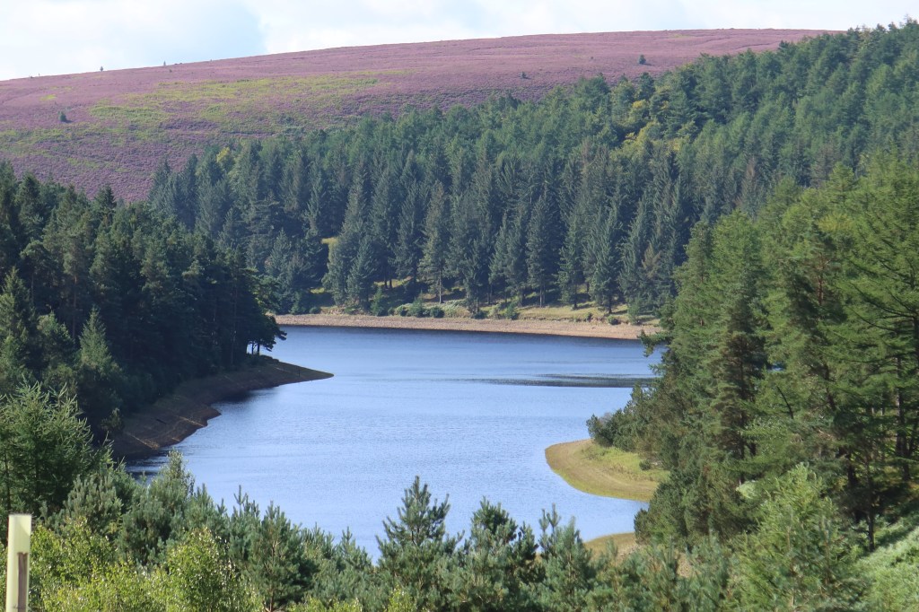
The first section of my route was intentionally to break into the limits of the Lowland Leader remit in terms of height. Mountain Training don’t give a cut off point, a height at which the moors officially ‘begin’, so I have made one between 300 and 400 meters. This is when you begin to see moorland habitats instead of lowland ones. I successfully identified Cow Wheat (a moorland plant) which helped with the aims. What came not was a bit inconvenient…
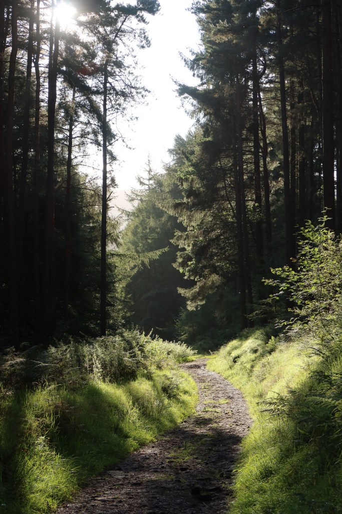
I was re-routed, courtesy of the Forestry Commission. My intended route was to continue at a high level and then rejoin the road around Derwent Reservoir. There were not diversion signs, and the only obvious choice was to back track all the way to the car. Conscious/anxious of time, I could not face doing that, and spotted a very small track on the map close to my position. It went through a campsite, into a field across a bog and then a scramble up a collapsing hillside of mud and rock. The best thing? The bridges across the bog had collapsed a long time ago. But I’m nothing if not stubborn, and refused to go back to the start. If I was with a group, of course, I would have scouted the route first and not bothered with this section.
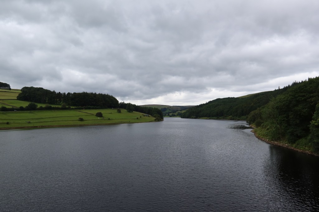
Finally back on track, I concentrated on taking lots of photos and estimating distances. I feel I could have done more estimations, and it can be tricky to remain focused on the job at hand. There are many distractions and things to watch out for on the reservoir walk – loads of cyclists everywhere.
Although only visible in places where the water level was low, the 315myo carboniferous limestones did look like the mudstone and sandstone that the Harvey Map had promised they would. Part of the requirement for outdoor leaders is that they become familiar with geology. The reverse side of Harvey Superwalker Maps is excellent at providing an easy to understand outline. You don’t need specialist textbooks, just an awareness.
Conclusion – Most aims were met, though I did not identify any birds, and could have estimated distance more frequently. I completed the circuit in about 6.5 hours which was a bit of a surprise.

Leave a comment