A walk from Whitby to Robin Hood’s Bay and back again, via the Cleveland Way and the Cinder Track.
I spent quite a long time looking at maps of the Cleveland Way while planning this one. In order for a day to qualify as a ‘Quality Day’ it has to be planned by the individual. But actually there’s not a whole lot of options for planning circular routes near the coast without travelling very large distances. The other issue related to that is many of the paths go through farms or places with livestock, which I am trying to avoid as much as possible. If I was with clients, I would not travel through those places at all.
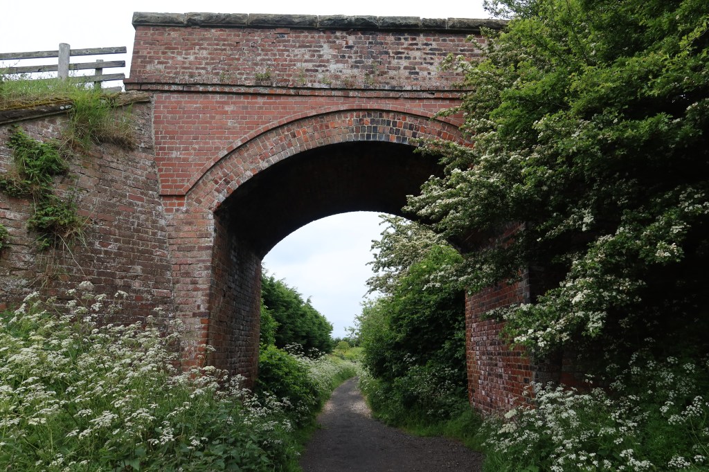
So finding a disused railway line on the map near Whitby was a great step in the right direction. Even better that it has been well maintained as a popular cycling and hiking trail called the Cinder Track.
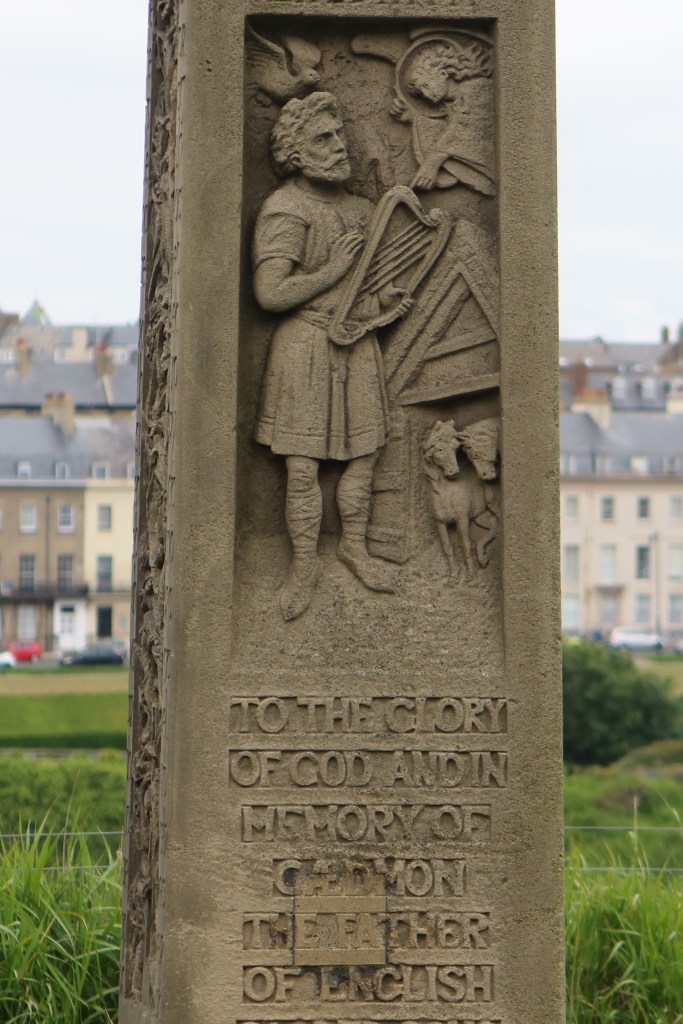
When I’m planning a route for the Lowland Leader award, there’s a few things I look to include. Are there any sites of historic interest? Any museums I can visit on the trail? Can I make a circuit which is quite varied, and at least 5 hours? Luckily this circuit had all of those and a lot more to offer. I like to build up an impression in my mind as I’m researching, and walking, of the long scale time of an area, while also achieving a learning aim for the day.
I chose the navigation lesson as estimating distance and time to travel to a fixed location. This sounds really simple but on a coastal path, looks can be deceiving, with many ups and downs, and many hidden features that add time to the trail. A coastal path is a very good place to practice estimating these things.
I managed to capture a video of a hunting kestrel (see video below) and also some pictures of flowers which I am unsure about. One major issue I have at the moment which I’m working hard to solve, is the best way of identifying flowers. I will write a dedicated blog to this over the summer.


The cicerone guides to each of the trails are fantastic, and they are my first source of information about the type of nature I could see on the walk.
When I have done my research with a guidebook and some maps, I then have to work out a route, a starting point, and how to get there. For Whitby, I used the Park and Ride facility which was excellent. I managed to set off at 6am from Brighouse, and arrive in time for the 0800 bus. It turned up on time and only cost a couple of quid for a day return. Bargain.
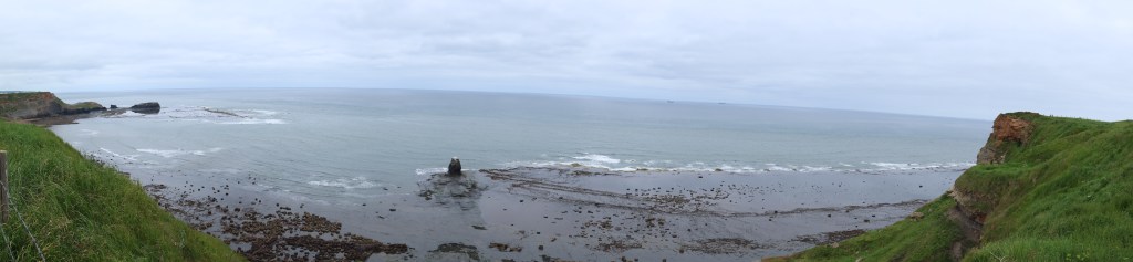
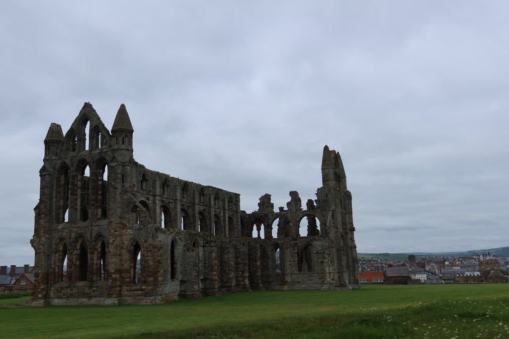
From Whitby bus station, I followed my nose to find the abbey ruins above the sea cliffs and set off on the Cleveland Way.

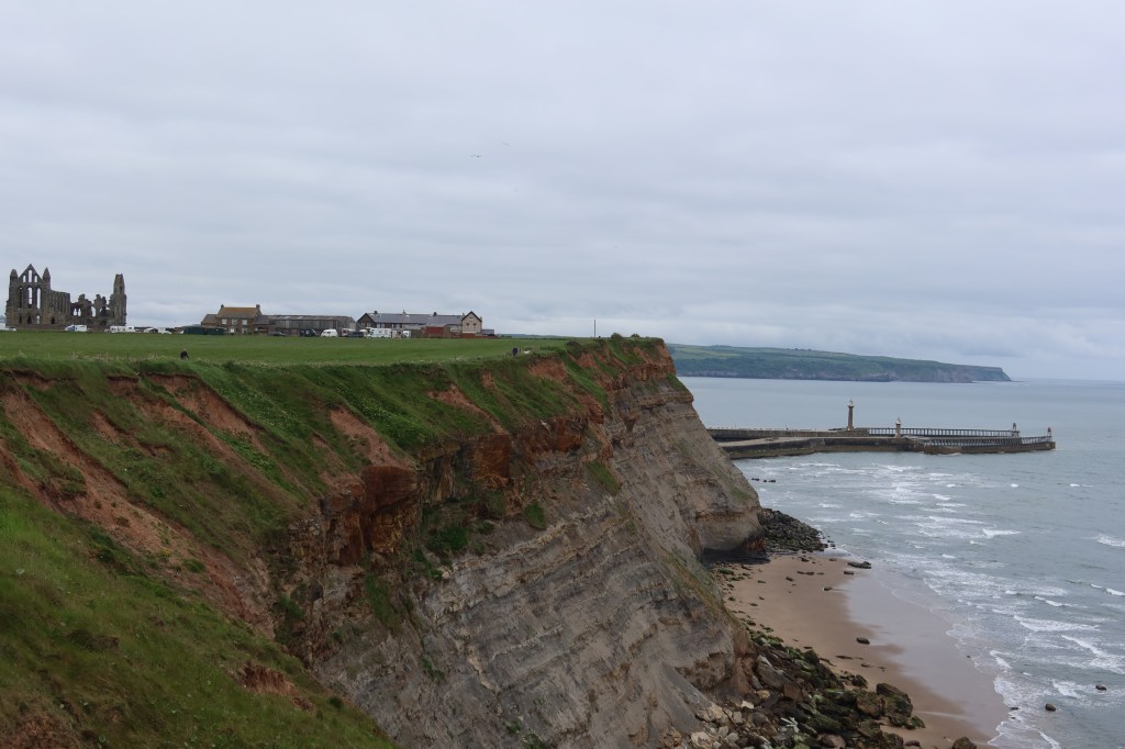

The trail is very well signposted, so no navigation required really apart from me focusing on my aim for the day of estimating distance and time. This involved frequent ‘relocating’ exercises on the map which is surprisingly difficult on coastal routes.
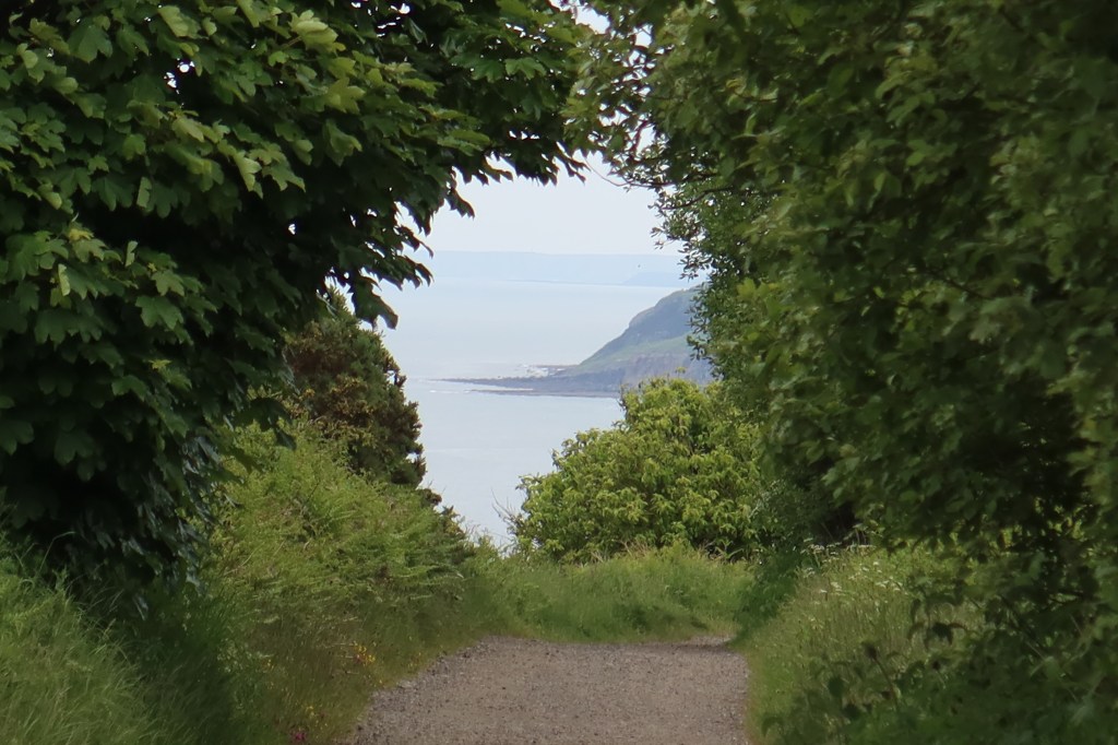
The Cinder Track proved to be much better than I expected from previous journeys along other disused lines. At times it was difficult to tell I was near the sea as the hedges on either side were high. Again, this caused quite a few delays in my abilities to relocate accurately which again just goes to show how different lowland navigation is to someone used to mountain and moorland journeys.
Lowland Leader navigation is just as tricky as other awards – it should not be thought of as ‘lesser’ in any way.
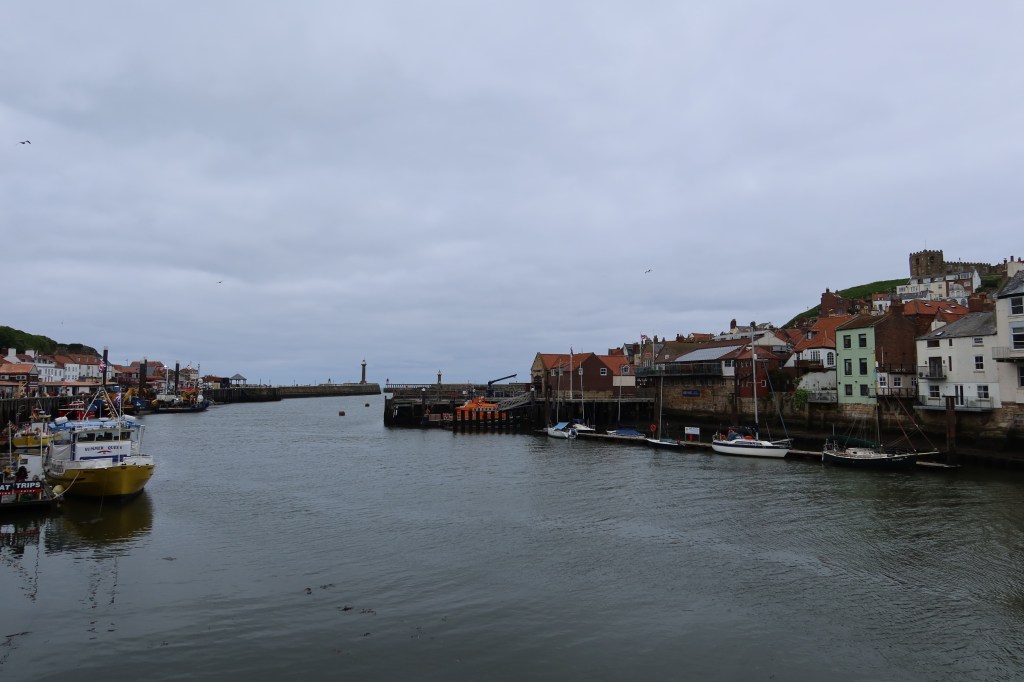
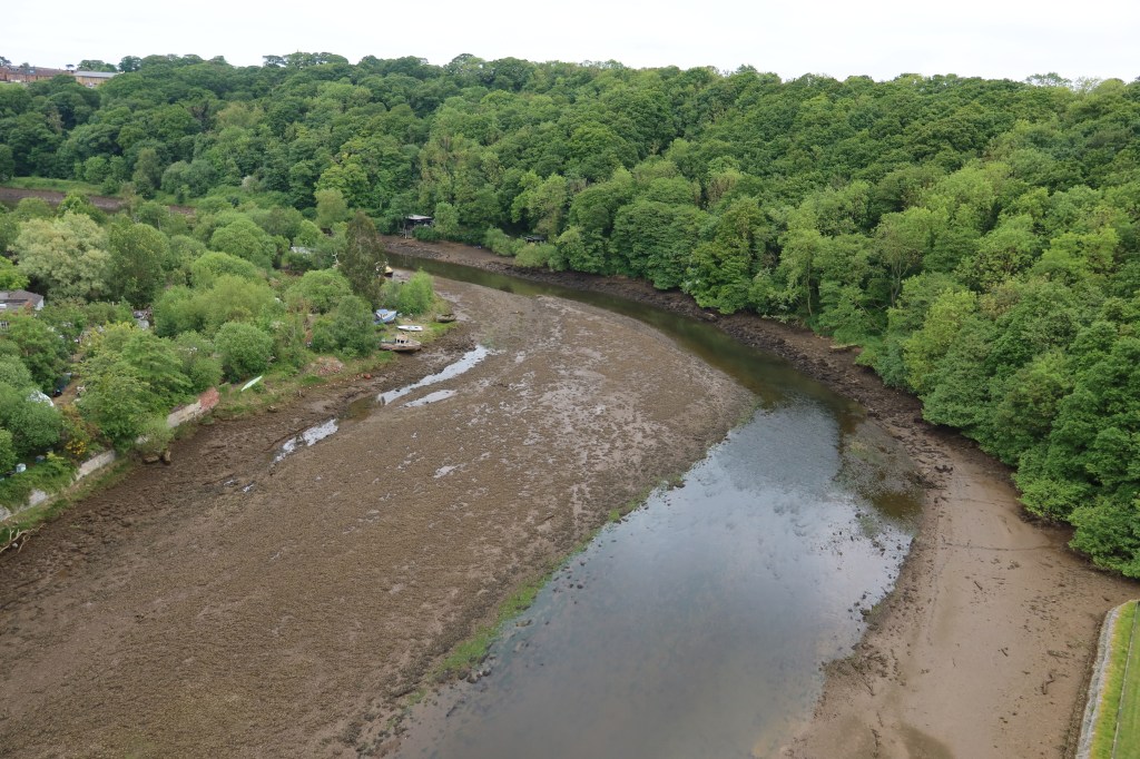
The Cinder Track winds its way through woodland to eventually cross the River Esk at Whitby. The low tide had left a tricky of water in the river bed, unless the area had been badly effected by the recent long dry spell of weather. This is difficult to say, not being local, but I do know that the ground was cracked and dry for most of the journey so perhaps this is a sign of drought?
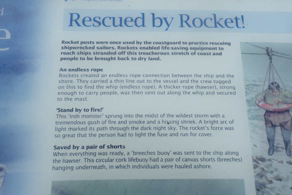
Lastly, here is some interesting information about sea rescues before the development of modern equipment used by the RNLI – pretty ingenious solutions!

Leave a comment