The Longdendale Chain – Peak District (video at bottom of the page)
I had fully intended to wild camp before setting out, but then had a second thought – I wanted to be well-slept before setting out on the first proper QLD of the scheme. A wild camp would probably have me awake around 3am and taking photos at 5 so not advisable. As it was, I arrived by 0800 anyway so nothing to worry about.

This route is a full circumnavigation of the Longdendale Chain of reservoirs. I chose this as my area to walk for a number of reasons. Firstly, my ‘theme’ for the 20 – 30 days of logged experience is going to be the National Trails of England, Scotland and Wales. There are 21 of them at present, with the England Coastal Path making the 22nd. This is a pretty useful number and matches well with the Lowland Leader skills too. The idea is that you create your own routes using well-marked paths while gaining environmental knowledge and navigation skills etc. The trouble is, for the Pennine Way, there’s very little in lowland country. The most obvious area would be Gargrave but it’s actually really quite hard to come up with a circular route that doesn’t go through fields full of livestock etc. It all gets a bit contrived, with lots of road walking.
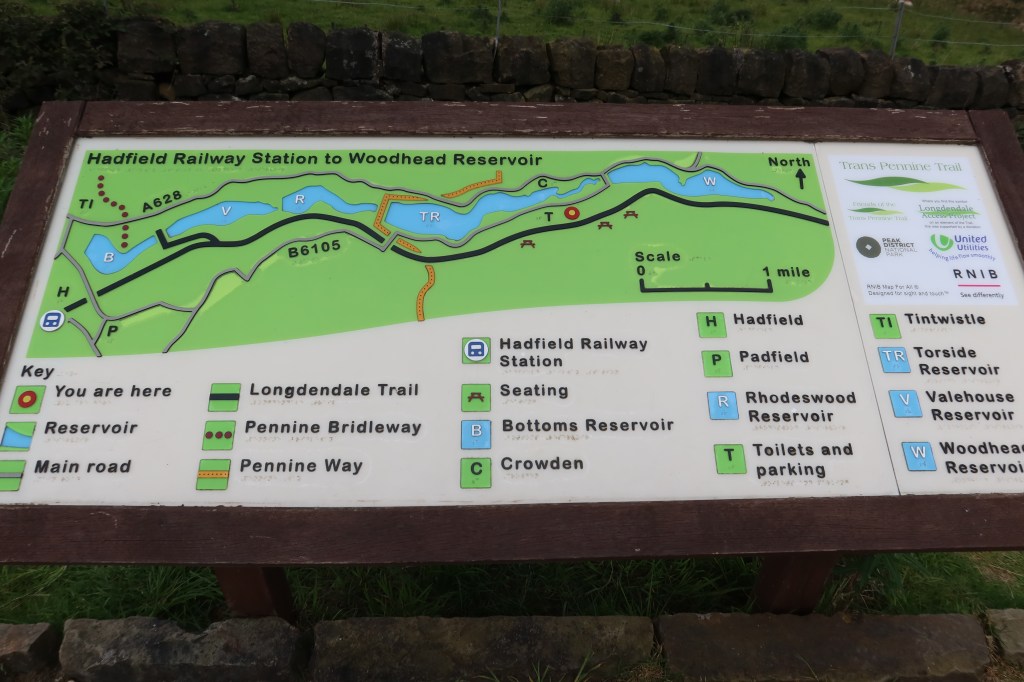
So after much map scouring, I came across Crowden. Low level, easy access, and a reservoir walk. Then, as I looked at it, I realised that I could plan a walk around all five reservoirs and learn some cool history while I was doing it. There is only about 2km of the Pennine Way in this journey but I’ll take it.
I will be approaching all my lowland days as the handbook states you should, with the aim of gaining a broad range of environmental knowledge and a solid understanding of how to use a 1:25k map with a compass. Luckily I already know a thing or two about navigation having passed the Mountain Leader Summer course, but even I’m surprised by how much extra detail there is to consider for lowland walks. The map is very ‘busy’ with symbols at times when you most want it to be clear and cleaner. That’s part of the challenge though.

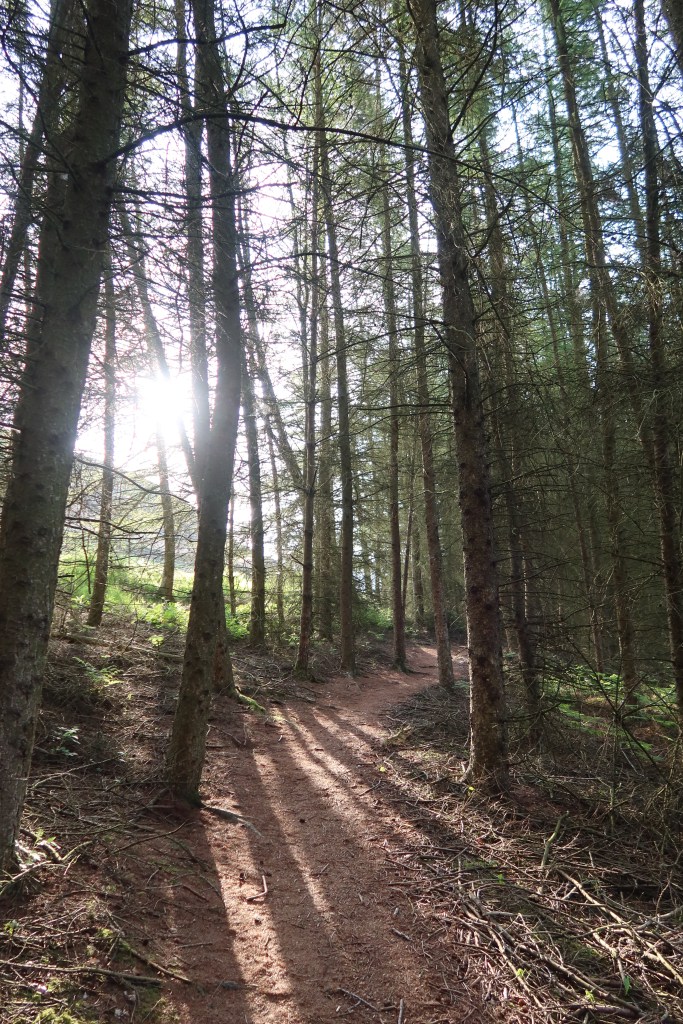
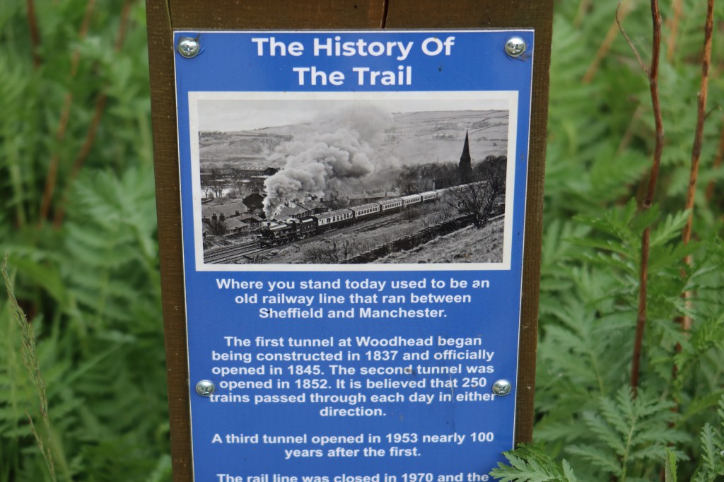
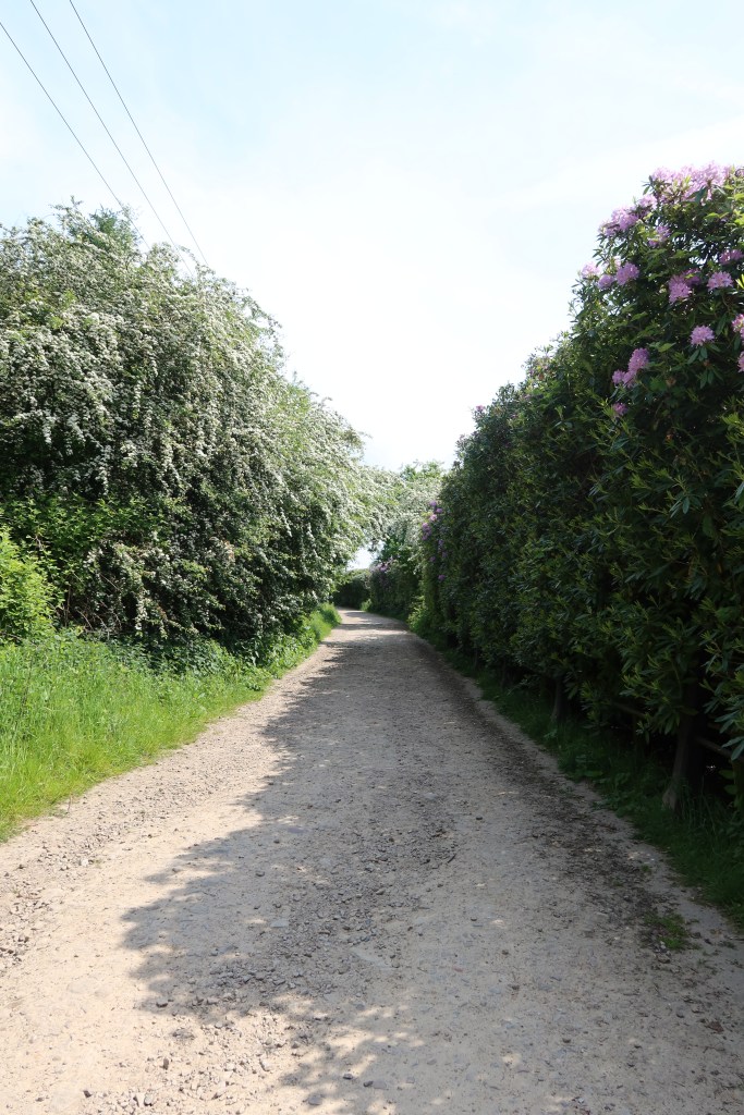
I decided clockwise to start out as I already knew quite a decent stretch of the trail and wanted to warm up a bit first. The paths on the way to Woodhead reservoir were great, although the water level was quite low. Then, making height up towards the eastern tip of Woodhead, you’re almost into Hill and Moorland territory before making a hasty descent down onto a disused railway line on the south side. This is the start of the TransPennineTrail, which is a cycle route and public right of way now.
The path continues, well signed, with lots of information boards. It’s the kind of path you can just ‘switch off’ and enjoy the walk.
I realised, around the time I got hungry, that I’d left my spoon at home for the pasta I had cooked. I was faced with either a graceless ‘shovelling’ action of my hands to my mouth, or to try and be civilised and find some spoons. I managed to find a CoOp in Hadfield with some just at the time I was really needing to eat.
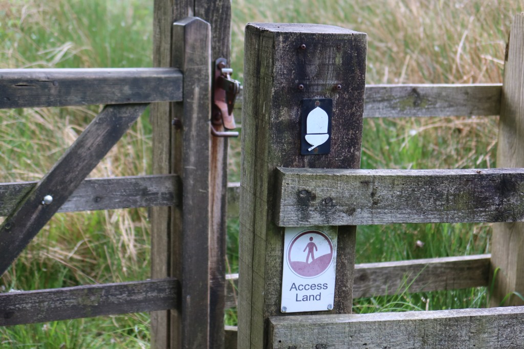
The northern section was much less planned out than the southern one. This is due to the uncertainty on the map of whether the trails are legal or not. There are no brown dotted ‘permissive lines’ at the far western end, just white tracks. I discovered, however, that there are networks of excellent trails all along the route. Looks like I’m not the first person to have considered walking around them all!
I’m using Carlo Forte’s ‘Navigation’ book, just to refresh my own skill set, and it was great to just practice some simple navigation techniques for a while, such as orienting the map after trying to do a best guess from observation.

I arrived back at the car 6.5 hours after setting off, and would highly rec’d this route to others – a hidden gem of the northern Peak District!

Leave a comment