In my last blog I mentioned I would write something on the logistics, but never managed to do it before I was off on my trip to Langdale.
Essentially, I had planned to hike Scafell Pike via Broad Stand – you might call this the Classic Route from Seathwaite. But the weather forecast of 50mph SW winds plus gusts had me thinking about a suitable Plan B. I decided a good option might be to try a route called The Tonge, south west from Esk Hause, then straight up the SW flank of Scafell Pike via Chambers Crag. Looks good on paper.
However, it was not to be.
I arrived in Langdale, barred from entry to the campsite as I had forgotten to make a note of the barrier entry code. So, parking at New Dungeon Ghyll, I schlepped my bags by foot to the campsite instead, and just about had everything set up by 9.30pm. Knackered, a crawled into bed. There was no rain or wind.
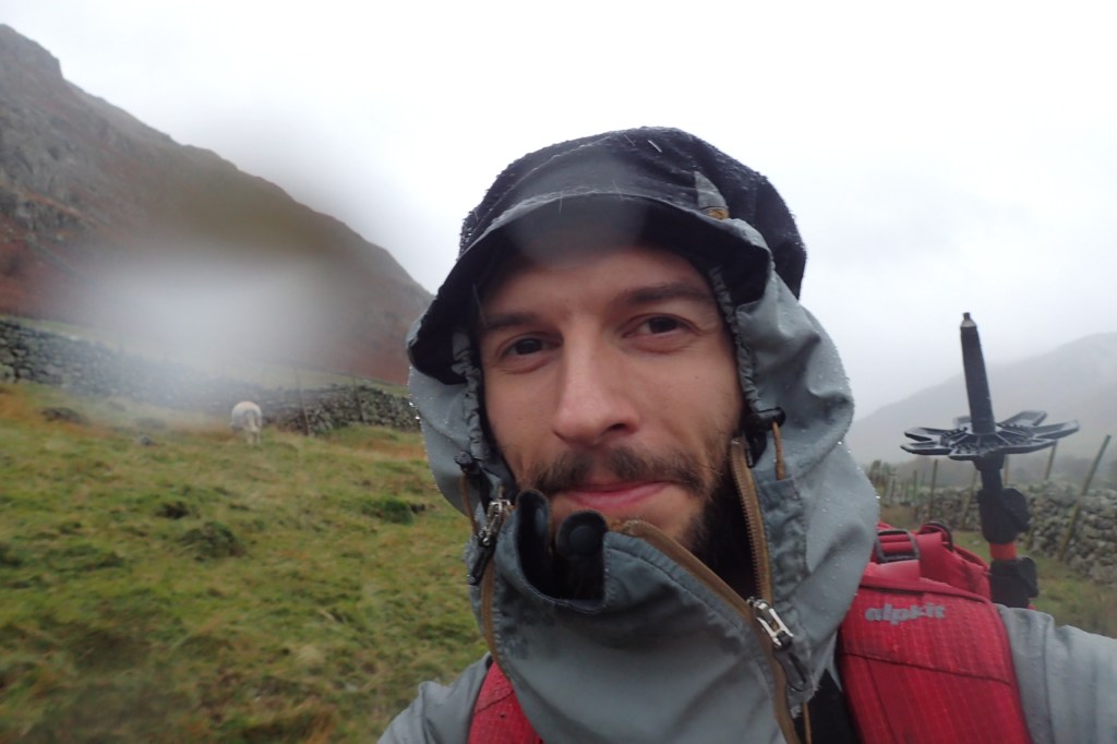
Next morning, around 6.30, the rain started. I emerged ready and hiked to my car to retrieve poles and pay for a parking ticket for the day. By 7.30 I was ready to start the route. It was a grey a drizzly day, quite murky, very uninspiring. But I was here to test out new kit and see if the route could be filmed for a vlog and C+K Careers production. I don’t think it’s a good idea for the careers company and would get very complicated in bad weather if I only get one more opportunity to do it.
The rain got more persistent and heavier, and I wasn’t even at the Esk Hause /Stake Pass junction stone yet. I continued up the path to Angle Tarn which takes a little bit more than forever to hike up and by now visibility was reduced to not very much and the rain had picked up. My boots had already wet through and I could feel socks squelching. Luckily I was warm and dry apart from that and my new pack was holding up. In the rain, every action becomes a bit more complicated. With wind added in, unless the action is necessary, you really don’t feel like doing it. I absolutely didn’t feel like messing about with my camera or filming much, and even getting the map out to navigate was becoming a chore. I then made a rookie mistake because I didn’t have my map in my hand or the will to spend 2 mins getting it, and it cost me the Scafell summit.
Heading north west from Angle Tarn, you reach a fork in the path. My planned route headed right (straight on) to Esk Hause and the shelter. I decided to turn left to keep close to the tarn (I hadn’t seen the fork on the map which was a 1:40k British Mountain Harvey Map) and figured that by keeping the tarn on my left I would get the the col of Esk Hause anyway. Wrong. Instead, I walked right around the tarn in the mist and then up a short rise to find myself at a T junction, which was very unexpected. I knew I had gone wrong immediately and figured I was just south of Esk Pike. If I had just stopped to check the map, like I tell all my students, I would have not done that. I was about 90 mins off route. With short daylight and some not very bright head torches I knew I was risking it to stick to Plan A. I decided to summit Esk Pike, head north to Esk Hause, and then down The Tongue.
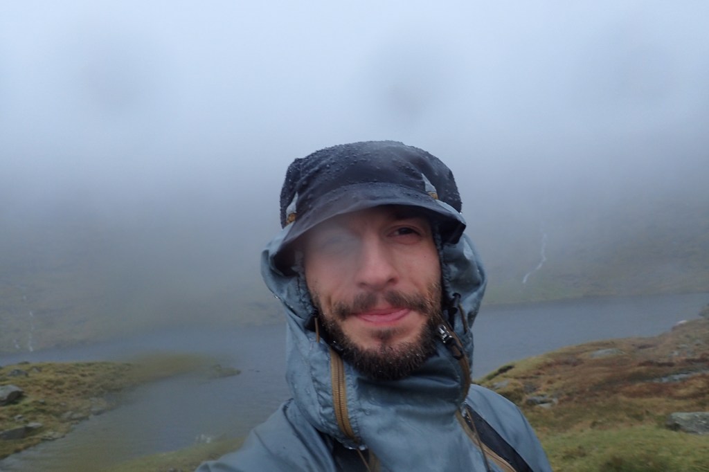
Starting the Tongue is a bit disconcerting at first because the path is very difficult to see, and if that is the case in the Lakes I always suspect I’m slightly wrong because all the paths are well-travelled, especially around and near Scafell Pike. I managed to find it, and started down. On the 1:40k it’s a very innocent looking path by a river. In reality it’s a path right next to a raging white water waterfall, which in spate is terrifying. Indeed, it actually flooded the path in parts making progress very dodgy. I decided to head back up to Esk Hause and acknowledge defeat. I was behind time, with soaking feet and realised I was beginning to shiver when I stopped. I had gone through two pairs of gloves and changed to a third (out of four) and was pleased to arrive back at the junction of paths. I met two blokes there who were walking to Scafell Pike – they had no maps but something on their phones and they asked the way. The wind wasn’t as strong as forecast which was good but it is still a tricky walk in misty conditions. I wished them a good journey and then headed down, once again without checking, and again, made a the wrong decision. Luckily I spotted the error after ten minutes, relocated the shelter, and then was on my way back to Angle Tarn again.
By this point I was quite concerned. Clearly, everything was dripping wet. All streams were in spate and many paths were flooded. It was early afternoon with dusk approaching and I knew I had to get off the mountain to sort the car problem out. Another delay due to a pretty major river crossing near Angle Tarn (or face a massive detour) and I was back on the descent to Langdale Valley. As soon as I arrived back at New Dungeon Ghyll, the rain stopped. I had walked for seven hours in a torrential downpour.
The car wouldn’t start due to a dead battery in the key fob, so I managed to borrow the phone at New Dungeon Ghyll hotel and thankfully start the engine after some technical advice from the garage, luckily still open. I got the car to the campsite and found my tent in a muddy swamp. Finally, at around 4.30, I was ready to head off home. I hate driving at night but the tent was so unappealing I went for it anyway. The rain held off and a clear night sky emerged. It seems I had chosen exactly the wrong seven hours of the day to head out! But it was definitely a quality mountain day and it’s adventures like these that make for great stories in the years to come and that provide lessons in what not to do.
Always take care to navigate precisely in bad weather, it could save you many problems later in the day. Try Plan A until you really begin to struggle, and have Plan B clearly marked on the map. Don’t be afraid to back off until another day.

Leave a comment