The final blog about the latest of my Greatest Walks in Britain
One thing you may notice as you start the west-bound, southern part of the route is the increase in people. It is a really popular area, and for good reason. On a good day you have spectacular views across the southern Dark Peak and on into limestone country. The ‘great ridge’ which makes up Mam Tor and other summits is especially fine and packed full of archaeological sites of interest too if you ever get the chance to explore further than Kinder.
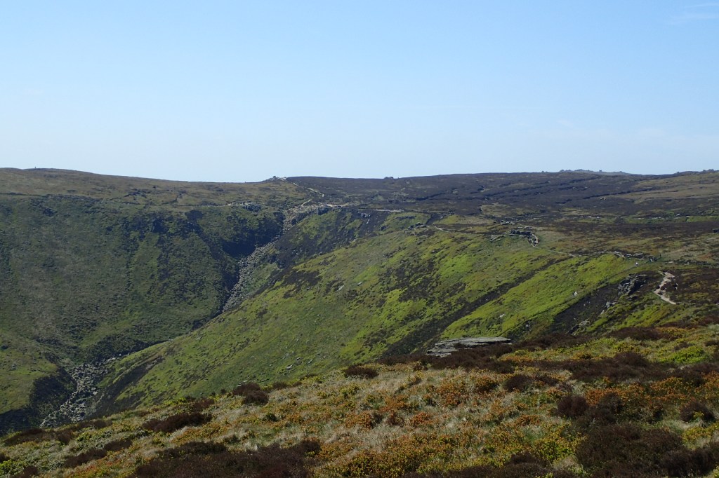
Another one of the key landmarks on your route is the above Clough – it’s a great scramble if you’re looking for a more adventurous route to the summit plateau, and you could even do the route described in this blog by using it as your entry and exit point. Though as I found out when I arrived, the perfect weather had created a very popular lunch spot at the top of it so be prepared for crowds of people – it’s not a place to seek solitude on a fine day!
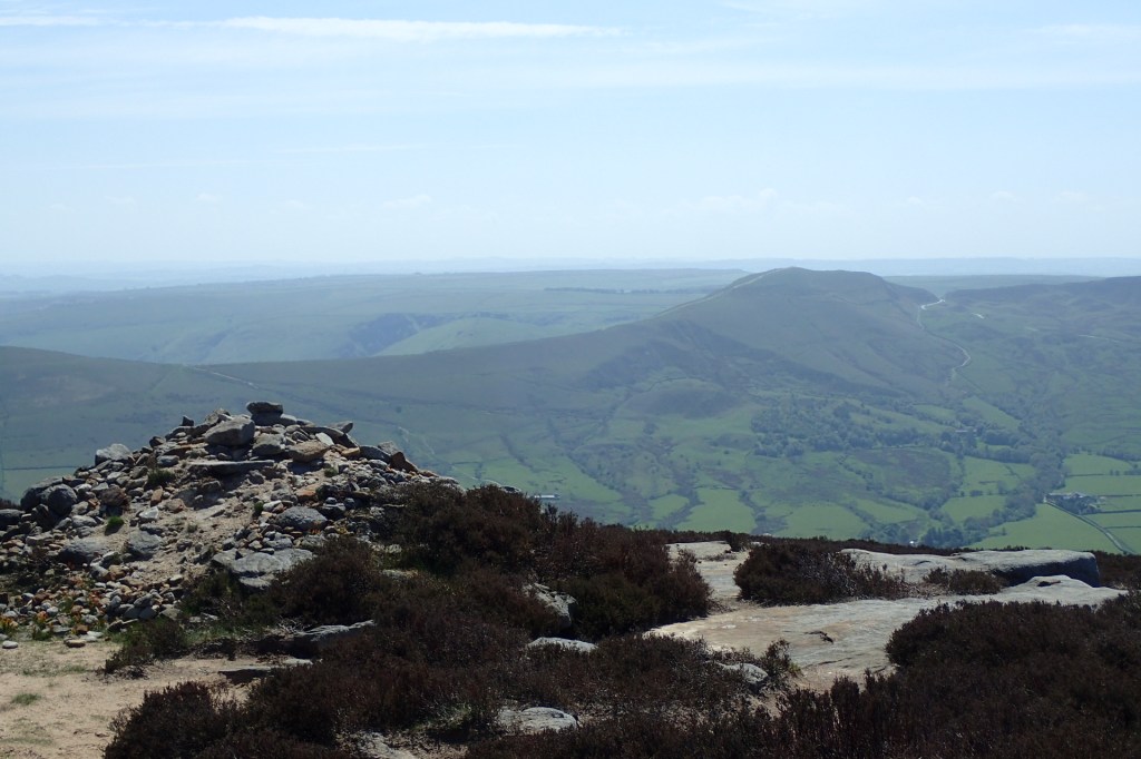
Eventually, after passing some rock outcrops that you can scramble over, you will meet the Pennine Way again. Turn right, going north, and you’ll get to the Ordnance Survey ‘trig’ point of Kinder Low. There is some debate as to where the highest point of the plateau is, so either use this as a place to celebrate a high point or you can use it as a navigational tool to help you find something a bit higher.
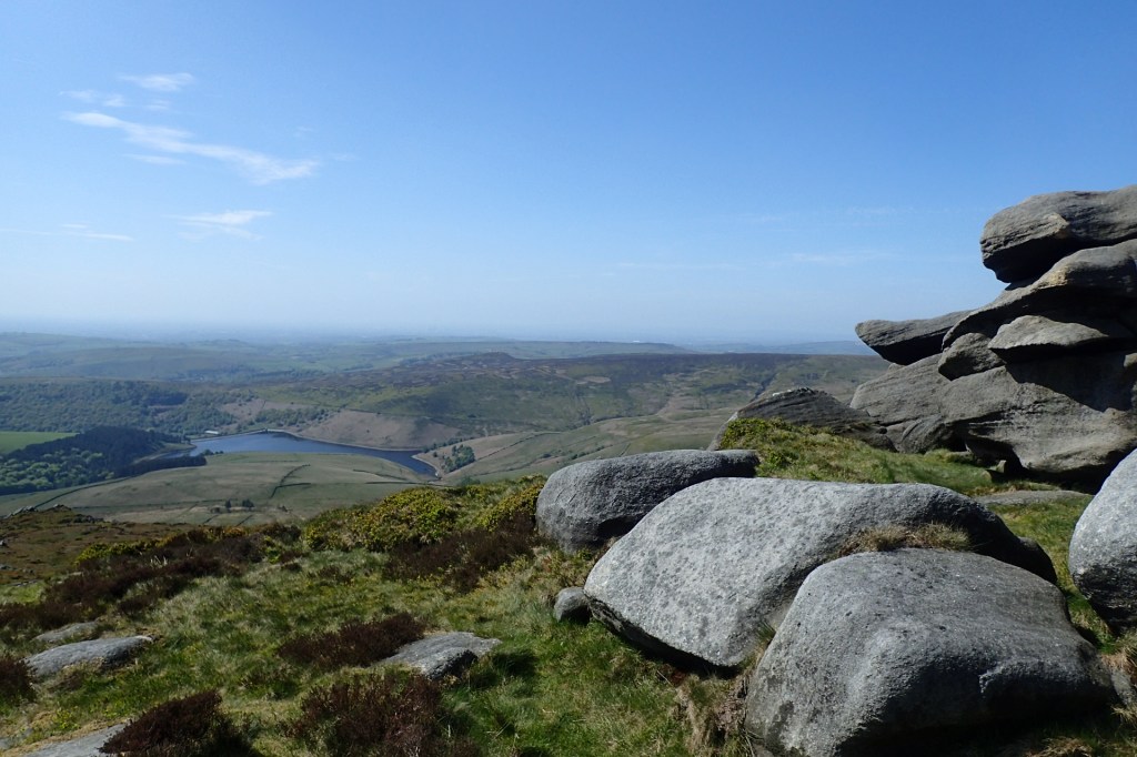
I carried on, heading north and soon you will see a reservoir on your left, looking west, which can be a nice spot to stop for a rest before you begin heading home. From the point above, it is a fairly short walk to the cross road of paths that take you back to Snake Pass.
This is very much a full day hike so best advice is to wait for good weather, get an early start, take lots of supplies and a camera and maybe some mates and enjoy it!

Leave a comment