
The full circumnavigation of the plateau is just over 20km, around 6.30 hours. There are two major approaches, one from Snake Pass on the OL1 Ordnance Survey map, and the other from Edale. Both approaches use the Pennine Way. A few other routes exist but these are the most popular.
The plateau itself can be a tricky place to walk in bad weather. Cloud or mist frequently makes navigation a tricky challenge – in fact this is renowned as one of the places in England to really practice learning how to use a map and compass. A successful winter crossing in whiteout conditions is something to aspire towards and be proud of.

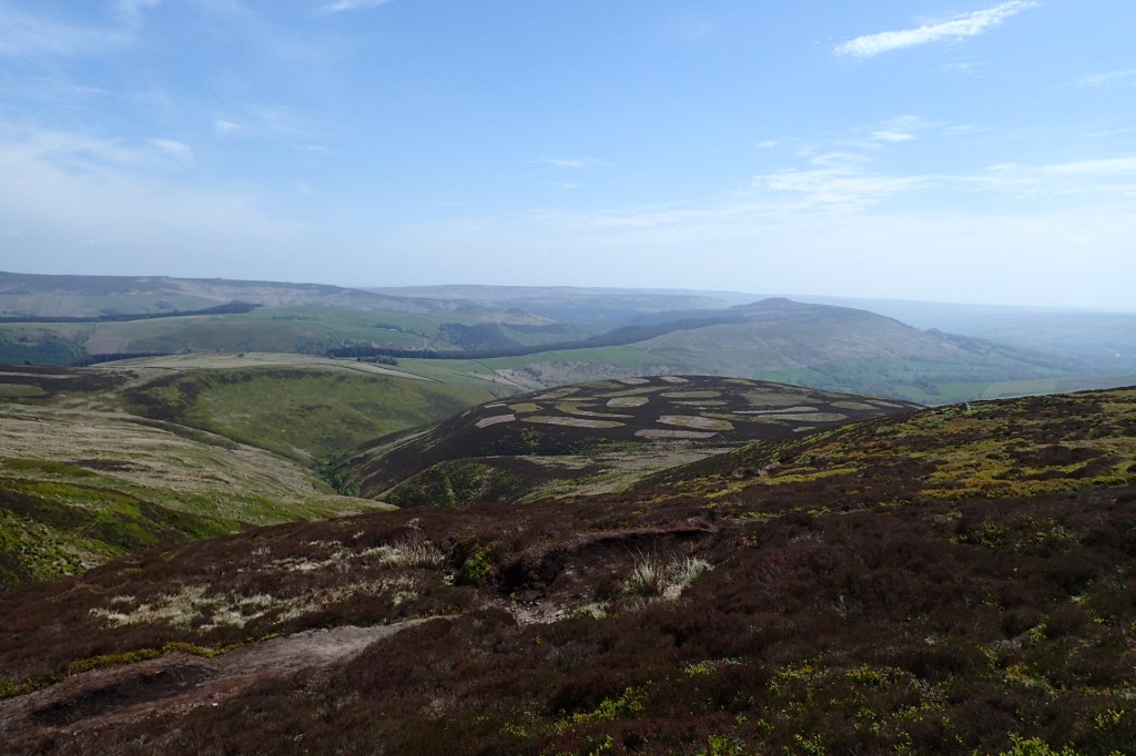
In good conditions though, you’ll be able to really enjoy the superb panoramic views and the bizarre rock formations, caused by wind and weather erosion. You can go anti clockwise or otherwise if you wish, and this guide goes clockwise. The photos show and eastward journey, to Fairbrook Naze and beyond.
Near the end of the northern part of the plateau, you will be able to see the ground looking something like the above photo. The paths, not shown, are very clearly worn though not signed, so it is really useful to have a map, compass, and GPS and the knowledge of how to use them.

Leave a comment